Campbell Cutoff Trail
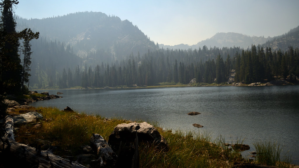 Photo: Tom Hilton, CC BY 2.0 (via Flickr)
- 1.6 mi
- round trip
- 1,249 ft
- climb
- 5,833 ft
- high point
- Out and back
- route
Is Campbell Cutoff Trail open right now?
Alert in the area
The Forest Service lists 2 alerts for Klamath National Forest.
Temporarily closure of approximately 3.5 miles of National Forest System Roads 47N01
Agency alert covering Klamath National Forest · Order 05-05-00-26-08 · USFS · Klamath National Forest
Grayback Road Repairs
Agency alert covering Klamath National Forest · USFS · Klamath National Forest
As of · Source: USFS · Klamath National Forest. Agencies don't list every closure — check before you go.
Campbell Cutoff Trail is a 3.1-mile out-and-back hike in the Marble Mountain Wilderness, part of the Scott River Ranger District of Klamath National Forest in California. The Forest Service manages the land, and the trail crosses wilderness boundaries, so it is a backcountry route rather than a simple walk in a forest. The climb is rolling, with a high point of 5,833 feet and a low of 5,084 feet. The trail starts at about 5,808 feet, and the total gain and loss for the round trip are each about 1,250 feet. The steepest stretch comes at about 0.69 miles in, with a grade of 22 percent. The route is rated moderate. The trip takes about 1.5 hours. The nearest neighbors are Cliff Lake and Bull Meadows, each about 0.4 miles away, and Campbell Lake Trail at about half a mile. For climbing, Marble Mountain is about 4.8 miles off.
Local outfitters
- Applegate Trail Rides48 mi away
Not on Roamze yet. Their page has how to reach them.
- Cliff LakeHikingPhoto: Tom Hilton, CC BY 2.0 (via Flickr)0.4 mi
 Bull MeadowsHikingPhoto: Tom Hilton, CC BY 2.0 (via Flickr)0.4 mi
- Campbell Lake TrailHikingPhoto: Tom Hilton, CC BY 2.0 (via Flickr)0.5 mi
- Marble MountainRock climbing4.8 mi
- Karst CragRock climbing5.7 mi
- Shackleford CreekCanoeing5.7 mi
- Right Hand Fork North Fork Salmon RiverCanoeing5.8 mi
- Indian Scotty Group SiteCamping6.8 mi
Source: Roamze catalog (indexable pages within 10 miles, PostGIS distance)
- Bull MeadowsHiking · Next doorPhoto: Tom Hilton, CC BY 2.0 (via Flickr)
- Campbell LakeHiking · Next doorPhoto: Tom Hilton, CC BY 2.0 (via Flickr)
 Red RockHiking · ~7 min drivePhoto: Calaina, CC BY-SA 3.0 (via Wikimedia Commons)
- Campbell Lake TrailHiking · Next doorPhoto: Tom Hilton, CC BY 2.0 (via Flickr)
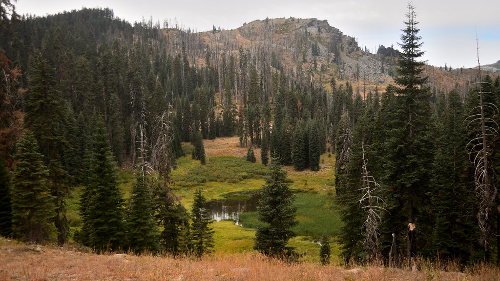 Cold SpringHiking · ~5 min drivePhoto: Tom Hilton, CC BY 2.0 (via Flickr)
 HaypressHiking · ~9 min drivePhoto: Calaina, CC BY-SA 3.0 (via Wikimedia Commons)
- CAMPBELL CUTOFFHiking · ~1 min drivePhoto: Tom Hilton, CC BY 2.0 (via Flickr)
- Shadow LakeHiking · ~6 min drivePhoto: Tom Hilton, CC BY 2.0 (via Flickr)
- Box CampHiking · ~9 min drivePhoto: Calaina, CC BY-SA 3.0 (via Wikimedia Commons)
- Marble RimHiking · ~9 min drivePhoto: Calaina, CC BY-SA 3.0 (via Wikimedia Commons)
Map and trail data © OpenStreetMap contributors
