Cliff Lake
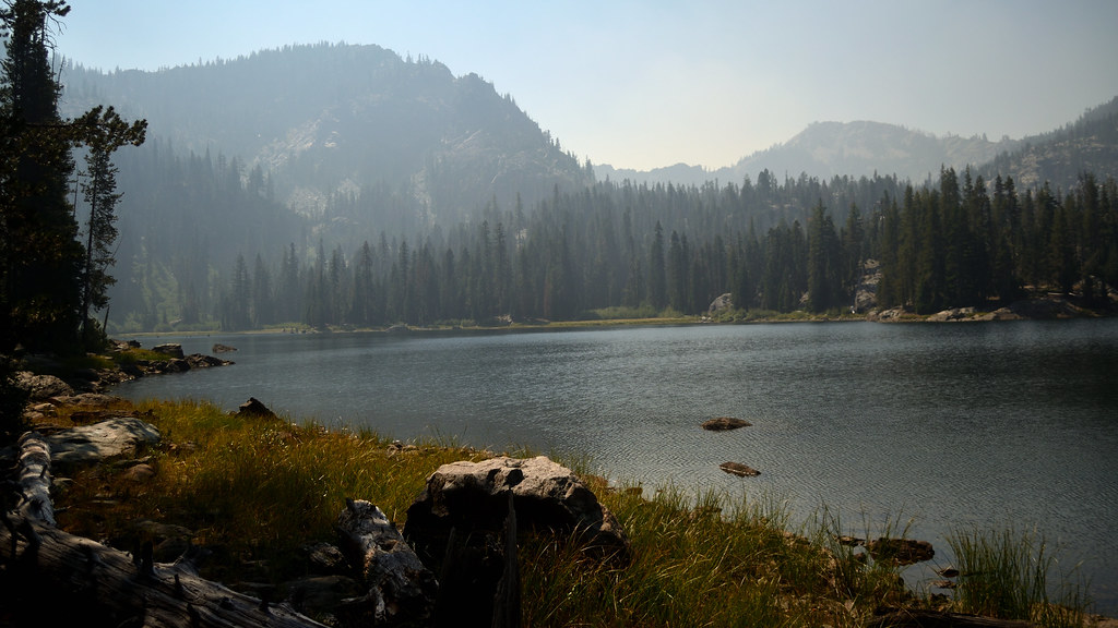 Photo: Tom Hilton, CC BY 2.0 (via Flickr)
- 2.4 mi
- round trip
- 350 ft
- climb
- 6,148 ft
- high point
- Out and back
- route
Is Cliff Lake open right now?
Alert in the area
The Forest Service lists 2 alerts for Klamath National Forest.
Temporarily closure of approximately 3.5 miles of National Forest System Roads 47N01
Agency alert covering Klamath National Forest · Order 05-05-00-26-08 · USFS · Klamath National Forest
Grayback Road Repairs
Agency alert covering Klamath National Forest · USFS · Klamath National Forest
As of · Source: USFS · Klamath National Forest. Agencies don't list every closure — check before you go.
Cliff Lake is an easy out-and-back hike in the Marble Mountain Wilderness, part of the Scott River Ranger District of Klamath National Forest in California. The trail is about 2.4 miles long, with a one-way elevation gain of 350 feet, and it runs on natural surface. The route starts at a low point of about 5,785 feet and climbs to a high point of about 6,148 feet. It is a short, low-effort outing that pairs easily with other trails in the area. Bull Meadows lies just 0.1 mile away, and the Campbell Cutoff Trail and Campbell Lake Trail are both within a mile. For climbing, the Marble Mountain area is about 4.6 miles off.
Local outfitters
- Applegate Trail Rides48 mi away
Not on Roamze yet. Their page has how to reach them.
Keep exploring — more trails worth the drive
Photo: Tom Hilton, CC BY 2.0 (via Flickr)Campbell Cutoff Trail
Next door
3.14-mile out-and-back hike in California with 1,249 ft elevation gain
 Photo: Tom Hilton, CC BY 2.0 (via Flickr)
Campbell Lake
~1 min drive
1.80-mile out-and-back trail in California with 740 ft elevation gain.
 Photo: Calaina, CC BY-SA 3.0 (via Wikimedia Commons)
Red Rock
~7 min drive
Red Rock is a 9.35-mile out-and-back trail in California with 2,526 feet of elevation gain.
Photo: Tom Hilton, CC BY 2.0 (via Flickr)Campbell Lake Trail
~1 min drive
1.78-mile out-and-back hike in California with 1,011 ft of elevation gain
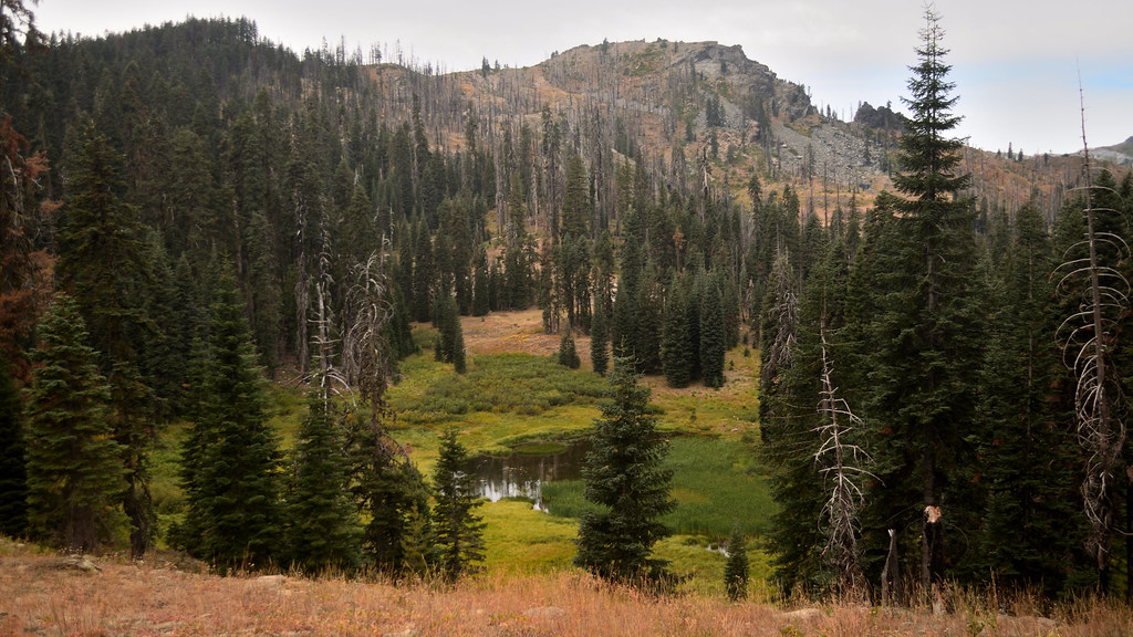 Photo: Tom Hilton, CC BY 2.0 (via Flickr)
Cold Spring
~5 min drive
0.83-mile out-and-back trail in California with 42 ft of elevation gain.
Photo: Calaina, CC BY-SA 3.0 (via Wikimedia Commons)Canyon Creek
~8 min drive
8.40-mile out-and-back trail in California with 2,479 ft gain.
Photo: Tom Hilton, CC BY 2.0 (via Flickr)CAMPBELL CUTOFF
~2 min drive
3.08-mile out-and-back trail in California with 1,315 ft elevation gain and loss.
Photo: Tom Hilton, CC BY 2.0 (via Flickr)Shadow Lake
~6 min drive
0.42-mile out-and-back trail to Shadow Lake in California with 270 ft of elevation gain.
 Photo: Calaina, CC BY-SA 3.0 (via Wikimedia Commons)
Haypress
~9 min drive
12.42-mile out-and-back trail in California with 2,107 ft elevation gain.
Photo: Calaina, CC BY-SA 3.0 (via Wikimedia Commons)Marble Rim
~9 min drive
4.44-mile out-and-back trail in California with 991 ft gain.
