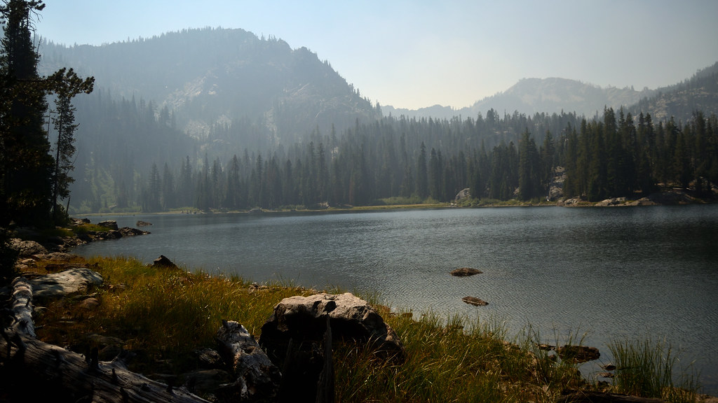
Shackleford Creek
- 11.8 mi
- distance
- 5,006 ft
- high point
- Apr–Oct
- best months
Shackleford Creek is a 12-mile paddling stretch near Fort Jones, California, about 3 miles from the small community of Mugginsville. The creek is intermittent and may run dry in some seasons, so conditions can change from year to year. USGS models an average flow of about 58 cubic feet per second and a gradient of about 199.5 feet per mile. Late spring and early fall tend to be the most comfortable times to paddle. Typical averages from a nearby weather station at Mt Shasta show May highs around 69°F and September highs around 78°F, with only a few wet days in each month. That station sits well below the creek, so temperatures on the creek run cooler. Wright Lakes and Back Meadows are both hikes about 2 miles away, and Kidder Creek, another paddling route, is about 4 miles off. For an overnight stay, Indian Scotty Group Site is about 5 miles away.
Local outfitters
- Momentum River Expeditions45 mi away
- Noah's River Adventures45 mi away
Not on Roamze yet. Their page has how to reach them.
- Wright LakesHiking2 mi
- Back MeadowsHiking2.3 mi
- ShacklefordHiking2.9 mi
- Kidder CreekCanoeing4.3 mi
- Indian Scotty Group SiteCamping5 mi
- Patterson CreekCanoeing7.2 mi
- Scott RiverCanoeing8.1 mi
- Marble MountainRock climbing9.1 mi
Source: Roamze catalog (indexable pages within 10 miles, PostGIS distance)
 Shasta RiverCanoeing · ~46 min drivePhoto: Marshman at en.wikipedia, CC BY-SA 3.0 (via Wikimedia Commons)
- Sarah Totten CampgroundFloat trip · ~24 min drive
- Rocky Bar River AccessBoat launch · ~29 min drive
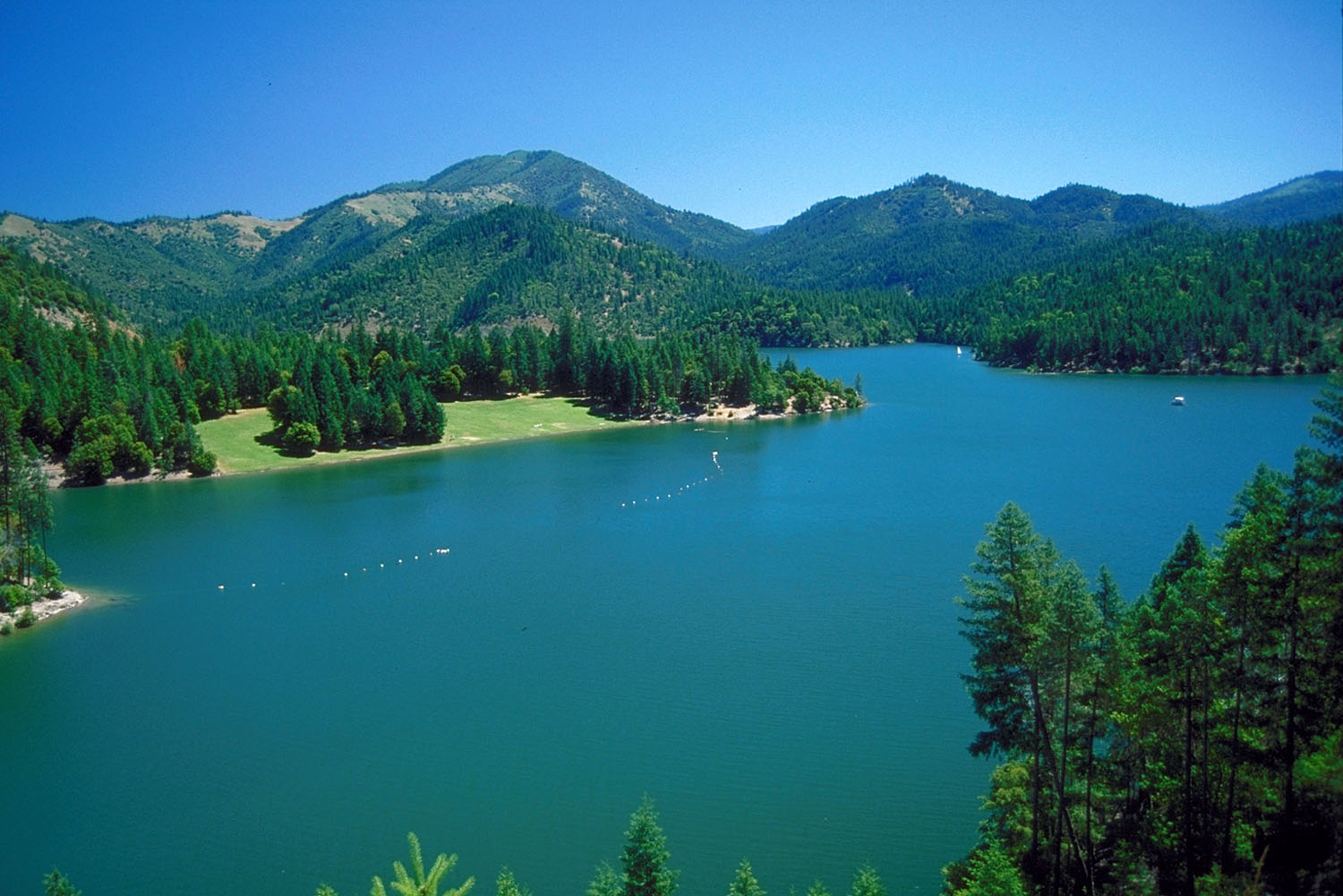 Applegate RiverCanoeing · ~50 min drivePhoto: Bill Johnson, U.S. Army Corps of Engineers, Public domain (via Wikimedia Commons)
- Nordheimer Group SitesFloat trip · ~46 min drive
- Ferry Point River AccessBoat launch · ~39 min drive
 Salmon RiverCanoeing · ~45 min drivePhoto: Scott Harding, CC BY-SA 4.0 (via Wikimedia Commons)
- Gottville River AccessBoat launch · ~40 min drive
- Kidder CreekCanoeing · ~7 min drive
- Brown Bear Boating SiteBoat launch · ~40 min drive
Best time to visit Shackleford Creek
Best months: April–October. Best months have typical highs of 55–85 °F, lows of 30 °F or warmer (32 °F where the station doesn't record snow), at most one snowy day and no more than 12 wet days.
Jan
44° / 29°
12 wet
Feb
47° / 29°
12 wet
Mar
53° / 32°
13 wet
Apr
59° / 35°
11 wet
May
69° / 41°
8 wet
Jun
76° / 47°
4 wet
Jul
85° / 52°
2 wet
Aug
85° / 50°
2 wet
Sep
78° / 45°
3 wet
Oct
65° / 37°
6 wet
Nov
51° / 31°
10 wet
Dec
42° / 28°
13 wet
Typical high / low (°F) and days with rain or snow, 1991–2020. Measured at Mt Shasta, CA, 39.2 mi away at 3,535 ft. The station sits about 1,500 ft lower than this place, so expect it a little cooler here. This station doesn't record snowfall. Source: NOAA NCEI U.S. Climate Normals 1991–2020.