Bearpaw Meadow High Sierra Camp
Campground
Campground · 1.8 mi from the trail
 Photo: Jeffrey Pang from Berkeley, CA, USA, CC BY 2.0 (via Wikimedia Commons)
No closures listed
The National Park Service lists no closures for Sequoia National Park.
As of · Source: NPS · Sequoia National Park. Agencies don't list every closure — check before you go.
Elizabeth Pass South is a hard hike in Sequoia National Park, part of the Sequoia-Kings Canyon Wilderness managed by the National Park Service. The trail is an out-and-back route of about 6 miles, with a one-way climb of about 3,150 feet from a low point of about 8,170 feet to a high of about 11,370 feet. The route sits within the wilderness, so plan on a demanding day. Lone Pine Creek and the Twenty-Seven Switchback Cut-off both lie within a quarter mile of the start, and Elizabeth Pass North is about 1.6 miles away. For an overnight base, Lodgepole Campground-Sequoia and Kings Canyon National Park is about 7 miles off.
Bearpaw Meadow High Sierra Camp
Campground
 If it rainsDavid Fulmer, CC BY 2.0 · Wikimedia Commons
Giant Forest Museum
Museum
Places © OpenStreetMap contributors · Photos: David Fulmer, CC BY 2.0 (commons)
More in Silver CityNot on Roamze yet. Their page has how to reach them.
Lone Pine CreekHikingPhoto: Jeffrey Pang from Berkeley, CA, USA, CC BY 2.0 (via Wikimedia Commons)0.1 miTwenty-Seven Switchback Cut-offHikingPhoto: Jeffrey Pang from Berkeley, CA, USA, CC BY 2.0 (via Wikimedia Commons)0.2 mi Hamilton Lakes and ValhallaRock climbingPhoto: simonov, CC BY-SA 2.0 (via Flickr)2 mi
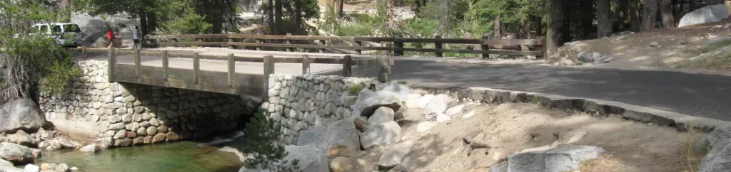 Lodgepole Campground-Sequoia and Kings Canyon National ParkCampingPhoto: Recreation.gov (RIDB) / public domain7.3 mi
Source: Roamze catalog (indexable pages within 10 miles, PostGIS distance)
Twenty-Seven Switchback Cut-offHiking · Next doorPhoto: Jeffrey Pang from Berkeley, CA, USA, CC BY 2.0 (via Wikimedia Commons)Hamilton LakesHiking · ~3 min drivePhoto: simonov, CC BY-SA 2.0 (via Flickr) Middle Fork KaweahHiking · ~7 min drivePhoto: HikingMike, CC BY 2.0 (via Flickr)
 Colby Pass NorthHiking · ~10 min drivePhoto: ilya_ktsn, CC BY 2.0 (via Wikimedia Commons)
 Over the HillHiking · ~3 min drivePhoto: simonov, CC BY-SA 2.0 (via Flickr)
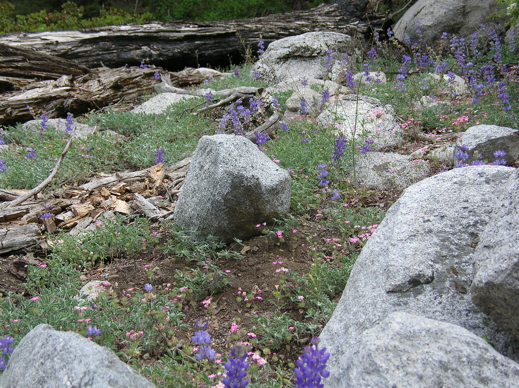 Redwood Mdw-BearpawHiking · ~5 min drivePhoto: HikingMike, CC BY 2.0 (via Flickr)
 Alta PeakHiking · ~8 min drivePhoto: gary_leavens, CC BY-SA 2.0 (via Flickr)
 Kern KaweahHiking · ~10 min drivePhoto: ilya_ktsn on Flickr, CC BY 2.0 (via Wikimedia Commons)Bearpaw MeadowHiking · ~3 min drivePhoto: simonov, CC BY-SA 2.0 (via Flickr)Bearpaw Cut-offHiking · ~7 min drivePhoto: HikingMike, CC BY 2.0 (via Flickr)
Also worth it near here
 Bearpaw Meadow High Sierra CampCamping · ~3 min drivePhoto: Eeekster (talk · contribs), CC BY 3.0 (via Wikimedia Commons)Hamilton Lakes and ValhallaRock climbing · ~3 min drivePhoto: simonov, CC BY-SA 2.0 (via Flickr)
 Eagle Scout PeakSummit · ~6 min drivePhoto: Mitch Barrie, CC BY-SA 2.0 (via Wikimedia Commons)
