Mehrten Creek
Campground
Campground · 0.9 mi from the trail
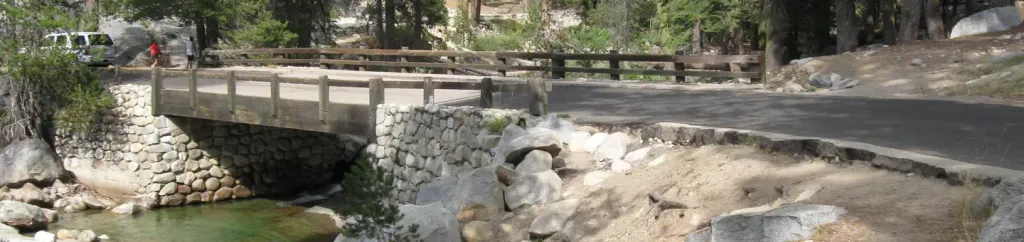
 Photo: gary_leavens, CC BY-SA 2.0 (via Flickr)
No closures listed
The National Park Service lists no closures for Sequoia National Park.
As of · Source: NPS · Sequoia National Park. Agencies don't list every closure — check before you go.
Alta Peak is a hard hike in California's Sequoia National Park, within the Sequoia-Kings Canyon Wilderness. The route is an out-and-back of about 3.8 miles, with a one-way elevation gain of 1,855 feet, starting at a low point of about 9,252 feet and reaching a high point of about 11,130 feet. The National Park Service manages the land. The Alta Meadow hike lies just 0.1 mile away, and the Alta-High Sierra Cut-off and Alta Meadow/Peak are each about 0.8 mile off. For climbers, Panther Peak is about 2.1 miles away. Lodgepole Campground, part of Sequoia and Kings Canyon National Park, is about 3.1 miles away.
Mehrten Creek
Campground
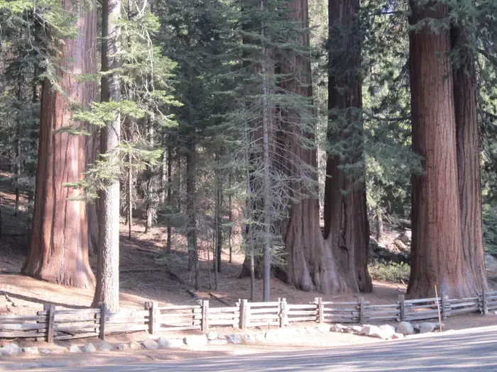
 If it rainsDavid Fulmer, CC BY 2.0 · Wikimedia Commons
Giant Forest Museum
Museum
Places © OpenStreetMap contributors · Photos: David Fulmer, CC BY 2.0 (commons)
More in Silver CityNot on Roamze yet. Their page has how to reach them.
Daily highs and lows, wind and the chance of precipitation at the summit and route start for the next 7 days, from the Open-Meteo model.
Alta MeadowHikingPhoto: gary_leavens, CC BY-SA 2.0 (via Flickr)0.1 mi Tokopah ValleyRock climbingPhoto: gary_leavens, CC BY-SA 2.0 (via Flickr)2.5 mi
 Lodgepole Campground-Sequoia and Kings Canyon National ParkCampingPhoto: Recreation.gov (RIDB) / public domain3.1 mi
 Dorst Creek Campground-Sequoia and Kings Canyon National ParkCampingPhoto: Recreation.gov (RIDB) / public domain8.1 mi
Source: Roamze catalog (indexable pages within 10 miles, PostGIS distance)
 Pear Lake Ranger StationHiking · ~2 min drivePhoto: gary_leavens, CC BY-SA 2.0 (via Flickr)Alta-Panther GapHiking · ~3 min drivePhoto: gary_leavens, CC BY-SA 2.0 (via Flickr)
 Middle Fork KaweahHiking · ~6 min drivePhoto: HikingMike, CC BY 2.0 (via Flickr)
 Tokapah FallsHiking · ~5 min drivePhoto: JingKe888, CC BY 2.0 (via Flickr)
 Wolverton CutoffHiking · ~6 min drivePhoto: NealVickers, CC BY-SA 4.0 (via Wikimedia Commons)Bearpaw Cut-offHiking · ~6 min drivePhoto: HikingMike, CC BY 2.0 (via Flickr)
Also worth it near here
 Alta PeakSummit · ~2 min drivePhoto: Bryan Siders, CC BY 2.0 (via Wikimedia Commons)
 Tokopah FallsWaterfall · ~3 min drivePhoto: JERRYE AND ROY KLOTZ MD, CC BY-SA 3.0 (via Wikimedia Commons)Tokopah ValleyRock climbing · ~4 min drivePhoto: gary_leavens, CC BY-SA 2.0 (via Flickr)
About 1.9 mi round trip.
About 1,855 ft of climbing round trip.
It is rated hard.
