Bearpaw Meadow High Sierra Camp
Campground
Campground · 3.4 mi from the trail
Clear at last check
Weather is good · OpenWeather · checked 14 h ago
No closures listed
The National Park Service lists no closures for Kings Canyon National Park.
As of · Source: NPS · Kings Canyon National Park. Agencies don't list every closure — check before you go.
Elizabeth Pass North is a moderate out-and-back hike in Kings Canyon National Park, within the Sequoia-Kings Canyon Wilderness in California. The National Park Service manages the land, and the route is about 8.5 miles long, with a one-way elevation gain of 2,408 feet. The trail starts at a low point of about 8,938 feet and reaches a high of about 11,369 feet. The pass sits in the high country of the park's wilderness, so plan for a day of steady climbing. The route is rated moderate, and the climb is the main challenge. Several other destinations lie close by. The Prism climbing area is about 0.6 miles away, and the Tamarack Lake Area is about a mile off. The Elizabeth Pass South hike and Lone Pine Creek are each about 1.6 miles away. For an overnight stay, Lodgepole Campground-Sequoia and Kings Canyon National Park is about 8.3 miles away.
Bearpaw Meadow High Sierra Camp
Campground
 If it rainsDavid Fulmer, CC BY 2.0 · Wikimedia Commons
Giant Forest Museum
Museum
Places © OpenStreetMap contributors · Photos: David Fulmer, CC BY 2.0 (commons)
More in Silver CityNot on Roamze yet. Their page has how to reach them.
 Lone Pine CreekHikingPhoto: Jeffrey Pang from Berkeley, CA, USA, CC BY 2.0 (via Wikimedia Commons)1.6 miElizabeth Pass SouthHikingPhoto: Jeffrey Pang from Berkeley, CA, USA, CC BY 2.0 (via Wikimedia Commons)1.6 miTwenty-Seven Switchback Cut-offHikingPhoto: Jeffrey Pang from Berkeley, CA, USA, CC BY 2.0 (via Wikimedia Commons)1.7 mi
 Hamilton Lakes and ValhallaRock climbingPhoto: simonov, CC BY-SA 2.0 (via Flickr)2.8 mi
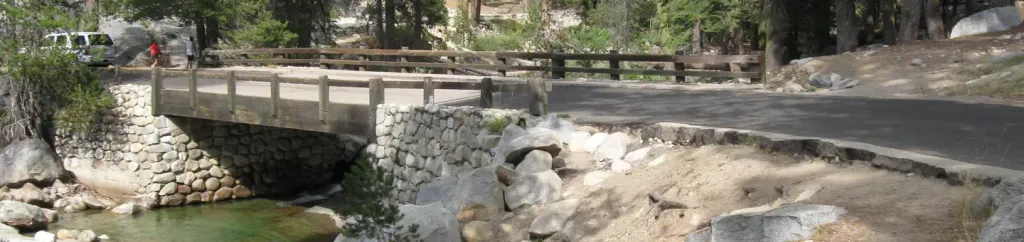 Lodgepole Campground-Sequoia and Kings Canyon National ParkCampingPhoto: Recreation.gov (RIDB) / public domain8.3 mi
Source: Roamze catalog (indexable pages within 10 miles, PostGIS distance)
Elizabeth Pass SouthHiking · ~3 min drivePhoto: Jeffrey Pang from Berkeley, CA, USA, CC BY 2.0 (via Wikimedia Commons)Lone Pine CreekHiking · ~3 min drivePhoto: Jeffrey Pang from Berkeley, CA, USA, CC BY 2.0 (via Wikimedia Commons)Twenty-Seven Switchback Cut-offHiking · ~3 min drivePhoto: Jeffrey Pang from Berkeley, CA, USA, CC BY 2.0 (via Wikimedia Commons) Colby Pass NorthHiking · ~7 min drivePhoto: ilya_ktsn, CC BY 2.0 (via Wikimedia Commons)
 Alta PeakHiking · ~10 min drivePhoto: gary_leavens, CC BY-SA 2.0 (via Flickr)Hamilton LakesHiking · ~4 min drivePhoto: simonov, CC BY-SA 2.0 (via Flickr)
 Over the HillHiking · ~6 min drivePhoto: simonov, CC BY-SA 2.0 (via Flickr)
 Kern KaweahHiking · ~8 min drivePhoto: ilya_ktsn on Flickr, CC BY 2.0 (via Wikimedia Commons)
 Middle Fork KaweahHiking · ~10 min drivePhoto: HikingMike, CC BY 2.0 (via Flickr)
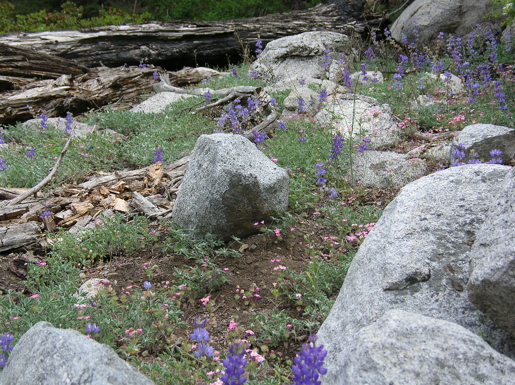 Redwood Mdw-BearpawHiking · ~8 min drivePhoto: HikingMike, CC BY 2.0 (via Flickr)
Also worth it near here
 Triple Divide PeakSummit · ~4 min drivePhoto: Davigoli (talk · contribs), Public domain (via Wikimedia Commons)Hamilton Lakes and ValhallaRock climbing · ~5 min drivePhoto: simonov, CC BY-SA 2.0 (via Flickr)
 Bearpaw Meadow High Sierra CampCamping · ~6 min drivePhoto: Eeekster (talk · contribs), CC BY 3.0 (via Wikimedia Commons)
