Bearpaw Meadow Backpackers Campground
Campground
Campground · 1.3 mi from the trail
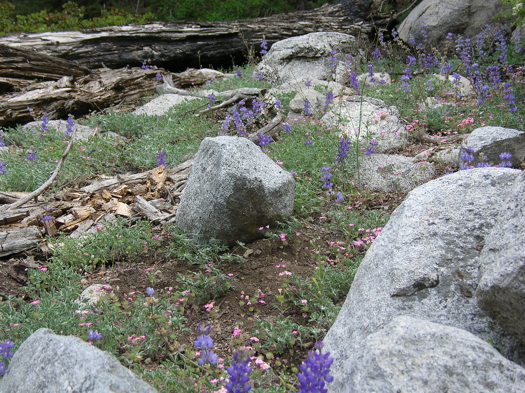 Photo: HikingMike, CC BY 2.0 (via Flickr)
No closures listed
The National Park Service lists no closures for Sequoia National Park.
As of · Source: NPS · Sequoia National Park. Agencies don't list every closure — check before you go.
Redwood Mdw-Bearpaw is a 9-mile out-and-back hike in Sequoia National Park, within the Sequoia-Kings Canyon Wilderness. The National Park Service manages the land, and the route rises from about 6,000 feet to about 7,600 feet, with a total elevation gain of 1,707 feet one way. Summer is the most comfortable time to go. Typical averages from the Lodgepole weather station, about 7 miles away, show July and August highs near 76°F with lows in the mid-40s and only about two wet days a month. Winter brings highs in the upper 30s and regular snow days. The closest neighbors are the Kaweah Middle Fork Cut-off and the Redwood Mdw Cut-off, both about 0.8 miles away, and Bearpaw Meadow, about 1.3 miles off. Lodgepole Campground is about 7 miles away.
Bearpaw Meadow Backpackers Campground
Campground
 If it rainsDavid Fulmer, CC BY 2.0 · Wikimedia Commons
Giant Forest Museum
Museum
Places © OpenStreetMap contributors · Photos: David Fulmer, CC BY 2.0 (commons)
More in Silver CityNot on Roamze yet. Their page has how to reach them.
 Kaweah Middle Fork Cut-offHikingPhoto: HikingMike, CC BY 2.0 (via Flickr)0.8 miRedwood Mdw Cut-offHikingPhoto: HikingMike, CC BY 2.0 (via Flickr)0.8 mi
 Bearpaw MeadowHikingPhoto: simonov, CC BY-SA 2.0 (via Flickr)1.3 mi
 Hamilton Lakes and ValhallaRock climbingPhoto: simonov, CC BY-SA 2.0 (via Flickr)2.8 mi
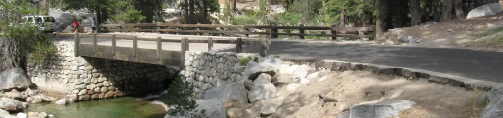 Lodgepole Campground-Sequoia and Kings Canyon National ParkCampingPhoto: Recreation.gov (RIDB) / public domain6.9 mi
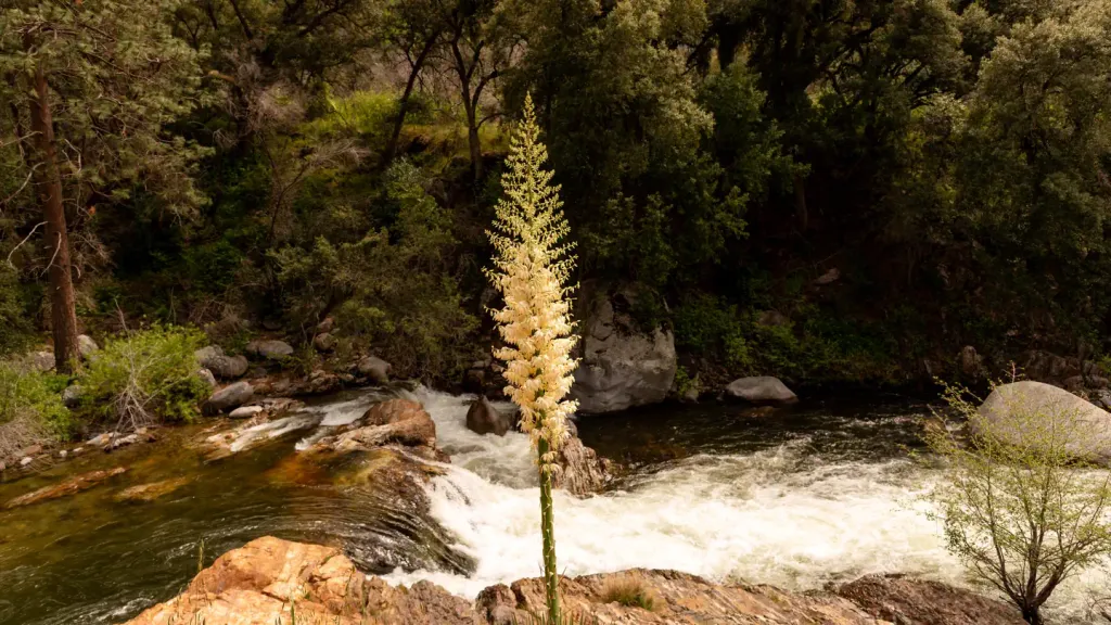 Potwisha CampgroundCampingPhoto: Recreation.gov (RIDB) / public domain9.8 mi
Source: Roamze catalog (indexable pages within 10 miles, PostGIS distance)
Redwood Mdw Cut-offHiking · ~1 min drivePhoto: HikingMike, CC BY 2.0 (via Flickr) Middle Fork KaweahHiking · ~2 min drivePhoto: HikingMike, CC BY 2.0 (via Flickr)Bearpaw Cut-offHiking · ~2 min drivePhoto: HikingMike, CC BY 2.0 (via Flickr)
 Blackrock Pass - Pinto LakeHiking · ~8 min drivePhoto: troy_williams, CC BY 2.0 (via Flickr)Kaweah Middle Fork Cut-offHiking · ~1 min drivePhoto: HikingMike, CC BY 2.0 (via Flickr)
 Elizabeth Pass SouthHiking · ~5 min drivePhoto: Jeffrey Pang from Berkeley, CA, USA, CC BY 2.0 (via Wikimedia Commons)Hamilton LakesHiking · ~5 min drivePhoto: simonov, CC BY-SA 2.0 (via Flickr)Bearpaw MeadowHiking · ~2 min drivePhoto: simonov, CC BY-SA 2.0 (via Flickr)
 Paradise Ridge-Redwood MdwHiking · ~9 min drivePhoto: HikingMike, CC BY 2.0 (via Flickr)
Also worth it near here
 Bearpaw Meadow High Sierra CampCamping · ~2 min drivePhoto: Eeekster (talk · contribs), CC BY 3.0 (via Wikimedia Commons)Hamilton Lakes and ValhallaRock climbing · ~5 min drivePhoto: simonov, CC BY-SA 2.0 (via Flickr)
 Alta PeakSummit · ~6 min drivePhoto: Bryan Siders, CC BY 2.0 (via Wikimedia Commons)
Best months: June–October. Best months have typical highs of 55–85 °F, lows of 30 °F or warmer (32 °F where the station doesn't record snow), at most one snowy day and no more than 12 wet days.
Jan
39° / 17°
9 wet · 8 snow
Feb
41° / 18°
10 wet · 8 snow
Mar
45° / 22°
10 wet · 8 snow
Apr
50° / 26°
8 wet · 5 snow
May
58° / 33°
5 wet · 2 snow
Jun
68° / 40°
3 wet
Jul
76° / 46°
2 wet
Aug
76° / 44°
2 wet
Sep
70° / 39°
2 wet
Oct
59° / 31°
4 wet · 1 snow
Nov
47° / 23°
6 wet · 4 snow
Dec
37° / 17°
8 wet · 6 snow
Typical high / low (°F) and days with rain or snow, 1991–2020. Measured at Lodgepole, CA, 7.1 mi away at 6,735 ft. The station sits about 900 ft lower than this place, so expect it a little cooler here. Source: NOAA NCEI U.S. Climate Normals 1991–2020.
