Golden Trout Camp
Campground
Campground · 1.8 mi from the trail
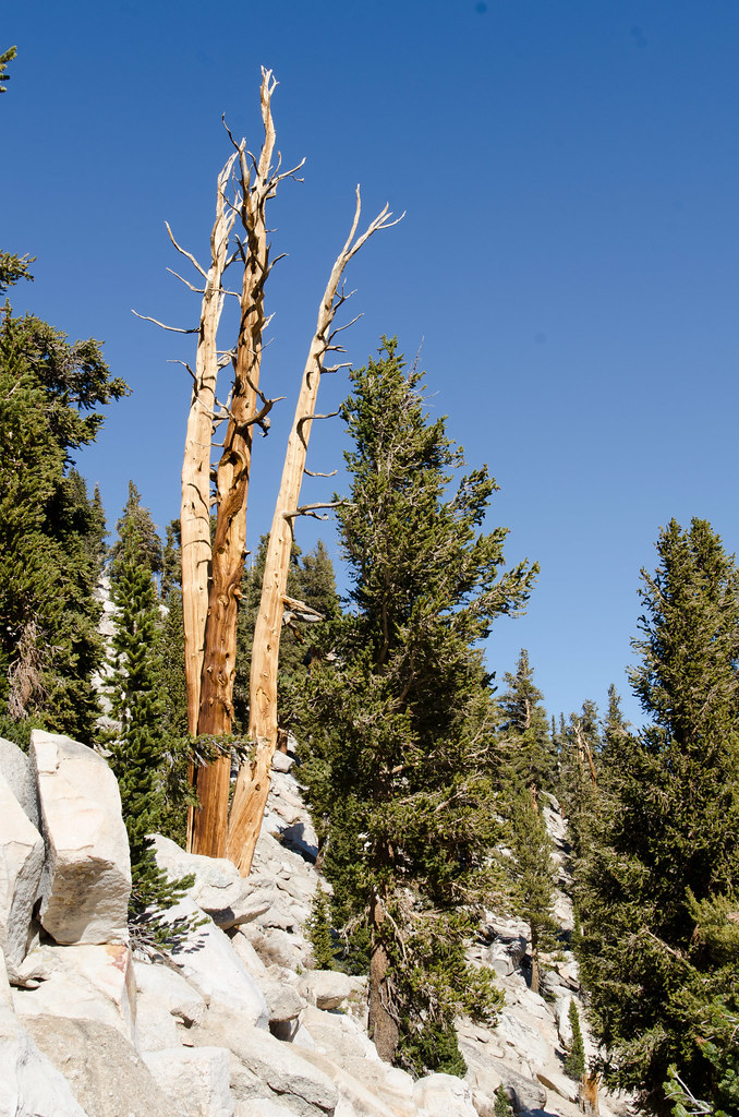
 Photo: Matt Lavin, CC BY-SA 2.0 (via Flickr)
Alert in the area
The Forest Service lists 3 alerts for Inyo National Forest.
Help Halt Golden Mussel Invasion
Agency alert covering Inyo National Forest · USFS · Inyo National Forest
Ansel Adams and John Muir Wilderness Campfire Restrictions
Agency alert covering Inyo National Forest · Order 05-04-50-25-04 · USFS · Inyo National Forest
Golden Trout and Hoover Wilderness Campfire Restrictions
Agency alert covering Inyo National Forest · Order 05-04-50-25-05 · USFS · Inyo National Forest
As of · Source: USFS · Inyo National Forest. Agencies don't list every closure — check before you go.
Cottonwood Lakes Cutoff #1 is a short, easy out-and-back hike in California's John Muir Wilderness, within the Mt. Whitney Ranger District of Inyo National Forest. The trail is managed by the Forest Service and sits at about 11,056 feet, with a high point of 11,056 feet and a low of 11,027 feet. The climb is steady, with a total gain and loss of about 81 feet over a 0.6-mile round trip, and the steepest stretch comes at about 0.25 miles in. The route makes a quick addition to a day in the area. Muir Lake lies about 0.3 miles away, and Cottonwood Lakes Cutoff #2 is about 0.4 miles off. Cottonwood Lakes, a mountain biking area, is also about 0.4 miles away. For an overnight stay, Cottonwood Lakes Walk In Campground is about 3.5 miles from the trail.
Golden Trout Camp
Campground
Whitney Portal Store
Restaurant
Kern Hot Spring
Hot spring
Places © OpenStreetMap contributors
More in Silver CityNot on Roamze yet. Their page has how to reach them.
Muir LakeHikingPhoto: Matt Lavin, CC BY-SA 2.0 (via Flickr)0.3 mi Cottonwood Lakes Cutoff #2HikingPhoto: Matt Lavin, CC BY-SA 2.0 (via Flickr)0.4 mi
 Cottonwood LakesMountain bikingPhoto: Marty B, CC BY-SA 4.0 (via Wikimedia Commons)0.4 mi
 Lone Pine AreaRock climbingPhoto: Jesse Wagstaff, CC BY 2.0 (via Flickr)1.8 mi
 Lone Pine PeakRock climbingPhoto: jfdervin, CC BY-SA 2.0 (via Flickr)4.9 mi
 Whitney & Surrounding PeaksRock climbingPhoto: GSEC, CC BY 2.0 (via Flickr)6.3 mi
Source: Roamze catalog (indexable pages within 10 miles, PostGIS distance)
Muir LakeHiking · Next doorPhoto: Matt Lavin, CC BY-SA 2.0 (via Flickr) New Army PassHiking · ~2 min drivePhoto: kalestews, CC BY 2.0 (via Flickr)South Fork Cottonwood CreekHiking · ~2 min drivePhoto: Jesse Wagstaff, CC BY 2.0 (via Flickr)
 Mount NewcombHiking · ~6 min drivePhoto: danhurt, CC BY-SA 2.0 (via Flickr)Cottonwood Lakes Cutoff #2Hiking · Next doorPhoto: Matt Lavin, CC BY-SA 2.0 (via Flickr)Little Cottonwood CreekHiking · ~3 min drivePhoto: kalestews, CC BY 2.0 (via Flickr)Cottonwood LakesHiking · ~3 min drivePhoto: kalestews, CC BY 2.0 (via Flickr)
 Cottonwood Pass TrailHiking · ~5 min drivePhoto: danhurt, CC BY-SA 2.0 (via Flickr)
 Cirque LakeHiking · ~1 min drivePhoto: Jesse Wagstaff, CC BY 2.0 (via Flickr)
 Soldier LakeHiking · ~6 min drivePhoto: NPS staff, Public domain (via Wikimedia Commons)
Map and trail data © OpenStreetMap contributors

