Loading…

Free — you'll pick up right here.
Watch this trail
Sign up to watch it — saving subscribes you to gate, closure and report changes.
California
3.0 mi
Distance
962 ft
Gain
Agency alerts are in effect for this area; weather is good
2 factors · 2 sources
Newest 21 h ago · oldest 11 d
caution: Agency alerts
9 active alerts in Klamath National Forest; most severe: Fire restrictions in effect on Klamath National Forest
USFS11 d ago
clear: Weather
Clouds, high 73°F / low 38°F, 0% precip — 95/100 for hike
OpenWeather21 h ago
Been out here in the last few days? One report keeps this current for everyone.
Why you'll love it
Chilkoot
AI-suggested draft · review before you go
No permit or access details on file for this trail — check with the local land manager before you go.
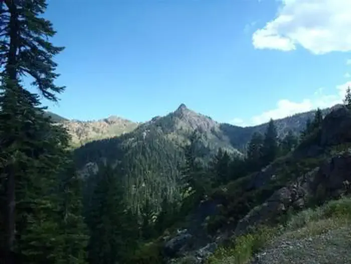
The Chilkoot Trail is a scenic 3-mile hike featuring nearly 1,000 feet of elevation gain through the Chilkoot area. This moderately steep route rewards hikers with significant vertical relief relative to its short distance, making it an excellent choice for building leg strength and enjoying concentrated mountain views. The trail showcases the rugged terrain characteristic of California's backcountry.
High Camp
~2 min drive
Easy 2.4-mile trail with minimal elevation gain near High Camp.
Houston Creek
~4 min drive
Steep 3.2-mile creek canyon hike with 1,632 ft elevation gain.
Little Mill
~17 min drive
Moderate 9-mile trail with 2,243 ft gain near Little Mill, California.
Kangaroo Lake
~4 min drive
Easy lakeside walk with scenic alpine lake views and minimal elevation gain.
Fen Nature Trail (Sisson)
~4 min drive
Scenic 3-mile wetland loop near Mount Shasta with moderate elevation gain.
Middle Boulder
~22 min drive
Moderate 8.4-mile alpine trail with 2,415 ft elevation gain and scenic high-country views.
Eddy Creek
~6 min drive
Steep 1.91-mile creek-side hike with 804 ft elevation gain.
Cooper Meadows
~4 min drive
Easy 3-mile meadow loop with gentle terrain and wildflower views.
Eagle Creek
~23 min drive
Challenging 13-mile mountain trail with 3,185 ft elevation gain and alpine views.
West Parks
~8 min drive
Steep 1.8-mile foothill climb with significant elevation gain.