Caribou
- 2.8 mi
- round trip
- 2,461 ft
- climb
- 7,474 ft
- high point
- Out and back
- route
Is Caribou open right now?
Closure in the area
There's a closure order in Shasta-Trinity National Forest. It doesn't name Caribou, so check the source for the area it covers (2 listed).
Mud and Ash Creek Area and Road Closure
Agency closure covering Shasta-Trinity National Forest · Order 14-26-13 · USFS · Shasta-Trinity National Forest
Road Closure on Wild Mad Road
Agency closure covering Shasta-Trinity National Forest · Order 14-25-09 · USFS · Shasta-Trinity National Forest
Trout Creek Bridge Closure Order
Agency alert covering Shasta-Trinity National Forest · Order 14-26-02 · USFS · Shasta-Trinity National Forest
South Fork Suspension Bridge Closure
Agency alert covering Shasta-Trinity National Forest · Order 14-25-30 · USFS · Shasta-Trinity National Forest
Ah-Di-Na Area Closure
Agency alert covering Shasta-Trinity National Forest · Order 14-25-10 · USFS · Shasta-Trinity National Forest
As of · Source: USFS · Shasta-Trinity National Forest. Agencies don't list every closure — check before you go.
Caribou is a hard hike in California's Trinity Alps Wilderness, part of the Weaverville Ranger District of the Shasta-Trinity National Forest. The trail is 2.8 miles long and rises 2,461 feet from a low point of 4,978 feet to a high of 7,474 feet, making it an out-and-back with a steep climb to the top. The route is on natural surface and bikes are not allowed. The Forest Service manages the land, and the trail is open year-round. The Trinity Alps climbing area sits about half a mile away, and the Sapphire Scramble and Old Caribou Trail are both within a few miles. For an overnight base, Big Flat Campground is about 5 miles off.
- Trinity AlpsRock climbing0.5 mi
- Sapphire ScrambleHiking1.4 mi
- Old Caribou TrailHiking2.2 mi
- Deer CreekHiking2.9 mi
- Big Flat CampgroundCamping5.1 mi
- Stuart ForkCanoeing5.4 mi
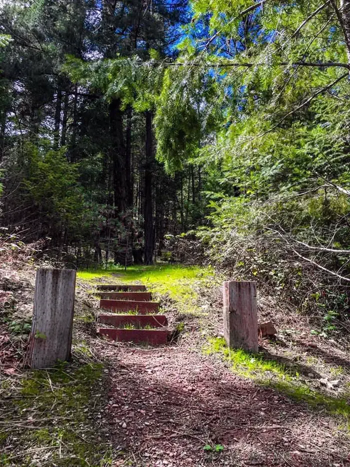 Mary Smith CampgroundCampingPhoto: Recreation.gov (RIDB) / public domain6 mi
- Rattlesnake CreekCanoeing7.6 mi
Source: Roamze catalog (indexable pages within 10 miles, PostGIS distance)
 Willow CreekHiking · ~6 min drivePhoto: ilya_ktsn, CC BY 2.0 (via Flickr)
 Canyon ScrambleHiking · ~6 min drivePhoto: Jeffrey Pang from Berkeley, CA, USA, CC BY 2.0 (via Wikimedia Commons)
 Mumford Basin Trail (Not Maintained)Hiking · ~9 min drivePhoto: ilya_ktsn, CC BY 2.0 (via Flickr)
- Old Caribou TrailHiking · ~4 min drive
 Ward LakeHiking · ~6 min drivePhoto: ilya_ktsn, CC BY 2.0 (via Flickr)
- Boulder Creek LakesHiking · ~7 min drivePhoto: Jeffrey Pang from Berkeley, CA, USA, CC BY 2.0 (via Wikimedia Commons)
 Landers LakeHiking · ~9 min drivePhoto: ilya_ktsn, CC BY 2.0 (via Flickr)
- Stuart Fork TrailHiking · ~6 min drive
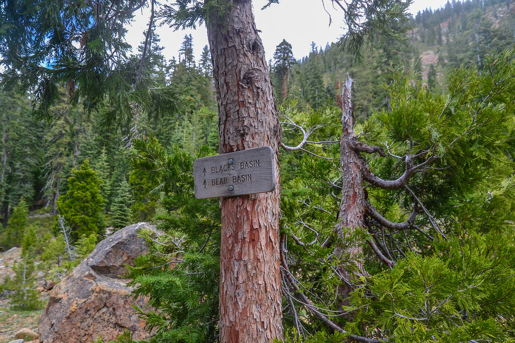 Blacks BasinHiking · ~8 min drivePhoto: ilya_ktsn, CC BY 2.0 (via Flickr)
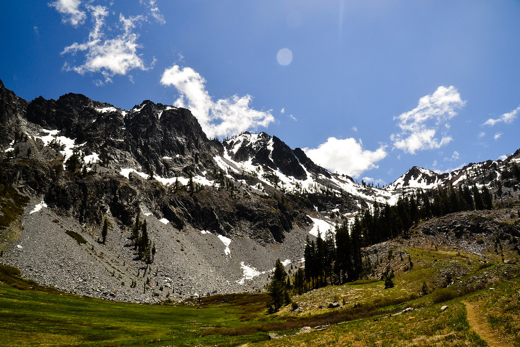 Cow Camp SpurHiking · ~9 min drivePhoto: ilya_ktsn, CC BY 2.0 (via Flickr)
