Blacks Basin
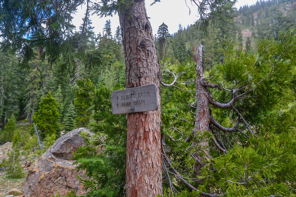 Photo: ilya_ktsn, CC BY 2.0 (via Flickr)
- 4.4 mi
- round trip
- 1,273 ft
- climb
- 7,169 ft
- high point
- Out and back
- route
Is Blacks Basin open right now?
Closure in the area
There's a closure order in Shasta-Trinity National Forest. It doesn't name Blacks Basin, so check the source for the area it covers (2 listed).
Mud and Ash Creek Area and Road Closure
Agency closure covering Shasta-Trinity National Forest · Order 14-26-13 · USFS · Shasta-Trinity National Forest
Road Closure on Wild Mad Road
Agency closure covering Shasta-Trinity National Forest · Order 14-25-09 · USFS · Shasta-Trinity National Forest
Bailey Cove Road Closure Order
Agency alert covering Shasta-Trinity National Forest · Order 14-25-11 · USFS · Shasta-Trinity National Forest
Trout Creek Bridge Closure Order
Agency alert covering Shasta-Trinity National Forest · Order 14-26-02 · USFS · Shasta-Trinity National Forest
South Fork Suspension Bridge Closure
Agency alert covering Shasta-Trinity National Forest · Order 14-25-30 · USFS · Shasta-Trinity National Forest
As of · Source: USFS · Shasta-Trinity National Forest. Agencies don't list every closure — check before you go.
Blacks Basin is a 4.4-mile out-and-back hike in the Trinity Alps Wilderness, part of the Weaverville Ranger District of Shasta-Trinity National Forest in northern California. The trail climbs from about 5,916 feet to 7,169 feet, a gain of 1,273 feet, and is rated moderate. The Forest Service manages the land, and the route is on natural surface. Horses are allowed, but bikes are not. The trail is open year-round, and the surrounding wilderness makes it a destination for a full day in the backcountry. Four Lakes and the Cow Camp Spur both lie within a mile of the trail. Mary Smith Campground is about 3 miles away, and the Trinity Alps climbing area is roughly 4 miles off.
- Four LakesHiking0.7 mi
 Mumford Basin Trail (Not Maintained)HikingPhoto: ilya_ktsn, CC BY 2.0 (via Flickr)0.7 mi
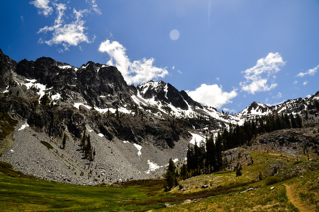 Cow Camp SpurHikingPhoto: ilya_ktsn, CC BY 2.0 (via Flickr)0.8 mi
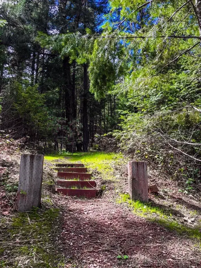 Mary Smith CampgroundCampingPhoto: Recreation.gov (RIDB) / public domain2.9 mi
- Stuart ForkCanoeing3.5 mi
- Trinity AlpsRock climbing4.3 mi
- Swift CreekCanoeing5.4 mi
- Bridge Camp Cg-FCamping6.5 mi
Source: Roamze catalog (indexable pages within 10 miles, PostGIS distance)
- Mumford Basin Trail (Not Maintained)Hiking · ~1 min drivePhoto: ilya_ktsn, CC BY 2.0 (via Flickr)
- Cow Camp SpurHiking · ~1 min drivePhoto: ilya_ktsn, CC BY 2.0 (via Flickr)
 Ward LakeHiking · ~4 min drivePhoto: ilya_ktsn, CC BY 2.0 (via Flickr)
- Stuart Fork TrailHiking · ~5 min drive
 Landers LakeHiking · ~6 min drivePhoto: ilya_ktsn, CC BY 2.0 (via Flickr)
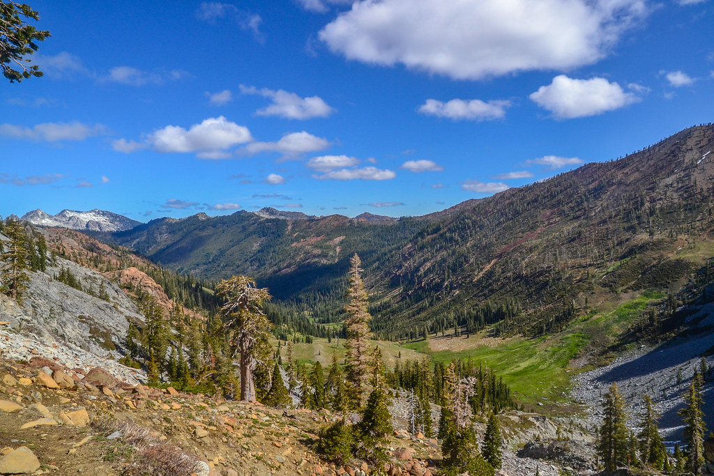 Summit Lake Trail (09W13A)Hiking · ~3 min drivePhoto: ilya_ktsn, CC BY 2.0 (via Flickr)
- Sunrise CreekHiking · ~7 min drivePhoto: ilya_ktsn, CC BY 2.0 (via Flickr)
- Bear Creek TrailHiking · ~7 min drive
 Granite LakeHiking · ~8 min drivePhoto: ilya_ktsn, CC BY 2.0 (via Flickr)
 Siligo Spur Trail (09W21A)Hiking · ~3 min drivePhoto: ilya_ktsn, CC BY 2.0 (via Flickr)

