Canyon Creek Falls
- 4,566 ft
- elevation
- Forest Service
- managed by
- Mar–Jun, Sep–Oct
- best months
Is Canyon Creek Falls open right now?
Closure in the area
There's a closure order in Shasta-Trinity National Forest. It doesn't name Canyon Creek Falls, so check the source for the area it covers (2 listed).
Mud and Ash Creek Area and Road Closure
Agency closure covering Shasta-Trinity National Forest · Order 14-26-13 · USFS · Shasta-Trinity National Forest
Road Closure on Wild Mad Road
Agency closure covering Shasta-Trinity National Forest · Order 14-25-09 · USFS · Shasta-Trinity National Forest
Trout Creek Bridge Closure Order
Agency alert covering Shasta-Trinity National Forest · Order 14-26-02 · USFS · Shasta-Trinity National Forest
South Fork Suspension Bridge Closure
Agency alert covering Shasta-Trinity National Forest · Order 14-25-30 · USFS · Shasta-Trinity National Forest
Ah-Di-Na Area Closure
Agency alert covering Shasta-Trinity National Forest · Order 14-25-10 · USFS · Shasta-Trinity National Forest
As of · Source: USFS · Shasta-Trinity National Forest. Agencies don't list every closure — check before you go.
Canyon Creek Falls is a waterfall in the Trinity Alps Wilderness, part of the Big Bar Ranger District of Shasta-Trinity National Forest in California. The Forest Service manages the land, and the nearest town is Junction City, about 14 miles away. The falls sit at roughly 4,566 feet. Late spring and early fall are the most comfortable times to visit. Typical averages from a nearby weather station in Callahan show May highs around 73°F and September highs around 83°F, while July and August average near 90°F. That station sits well below the falls, so temperatures at the falls run cooler. Several other destinations lie close by. Boulder Creek Lakes is about 1.6 miles away, and Bear Creek and Canyon Scramble are each within about 2 miles. For an overnight stay, Ripstein Campground is about 4 miles off.
- Elevation
- 4,566 ft
- Land manager
- Forest Service
Elevation from USGS 3D Elevation Program terrain data (about 10 m resolution).
 Boulder Creek LakesHikingPhoto: Jeffrey Pang from Berkeley, CA, USA, CC BY 2.0 (via Wikimedia Commons)1.6 mi
- Bear CreekHiking2 mi
- Canyon ScrambleHikingPhoto: Jeffrey Pang from Berkeley, CA, USA, CC BY 2.0 (via Wikimedia Commons)2.1 mi
- Ripstein Cg-FCamping4 mi
- Stuart ForkCanoeing4.1 mi
- Trinity AlpsRock climbing5.5 mi
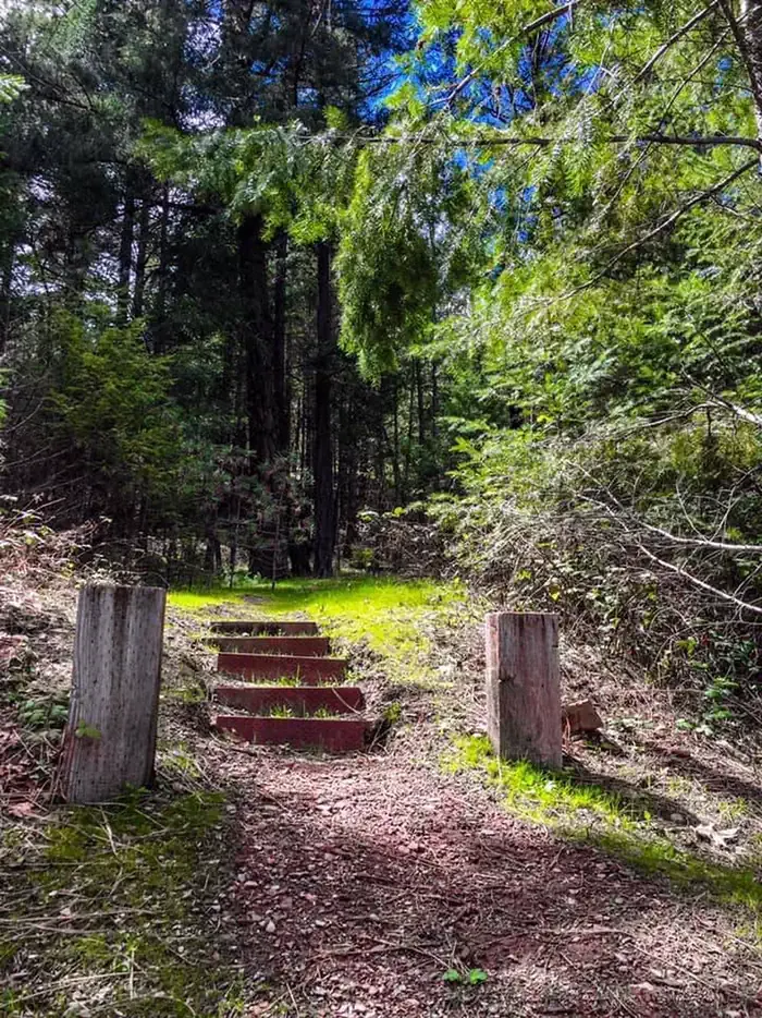 Mary Smith CampgroundCampingPhoto: Recreation.gov (RIDB) / public domain5.5 mi
- Rattlesnake CreekCanoeing6.7 mi
Source: Roamze catalog (indexable pages within 10 miles, PostGIS distance)
 Mossbrae FallsWaterfall · ~1h 17m drivePhoto: Pinecar at English Wikipedia, Public domain (via Wikimedia Commons)
- Kickapoo WaterfallWaterfall · ~29 min drive
- Burnt Ranch FallsWaterfall · ~43 min drive
- Whiskeytown FallsWaterfall · ~48 min drive
- Johnson Creek FallsWaterfall · ~1h 3m drive
- Ishi Pishi FallsWaterfall · ~1h 8m drive
- Faery FallsWaterfall · ~1h 13m drive
- Maple FallsWaterfall · ~1h 25m drive
- Gray FallsWaterfall · ~43 min drive
- Crystal Creek FallsWaterfall · ~47 min drive
Best time to visit Canyon Creek Falls
Best months: March–June and September–October. Best months have typical highs of 55–85 °F, lows of 30 °F or warmer (32 °F where the station doesn't record snow), at most one snowy day and no more than 12 wet days.
Jan
48° / 28°
13 wet
Feb
53° / 30°
12 wet
Mar
59° / 32°
12 wet
Apr
65° / 35°
10 wet
May
73° / 40°
8 wet
Jun
81° / 45°
4 wet
Jul
90° / 51°
3 wet
Aug
89° / 49°
2 wet
Sep
83° / 43°
3 wet
Oct
70° / 36°
6 wet
Nov
54° / 31°
11 wet
Dec
46° / 28°
13 wet
Typical high / low (°F) and days with rain or snow, 1991–2020. Measured at Callahan, CA, 29.7 mi away at 3,085 ft. The station sits about 1,500 ft lower than this place, so expect it a little cooler here. This station doesn't record snowfall. Source: NOAA NCEI U.S. Climate Normals 1991–2020.
