Old Caribou Trail
- 4.7 mi
- round trip
- 5,600 ft
- climb
- 8,056 ft
- high point
- Out and back
- route
Is Old Caribou Trail open right now?
Alert in the area
The Forest Service lists 2 alerts for Klamath National Forest.
Temporarily closure of approximately 3.5 miles of National Forest System Roads 47N01
Agency alert covering Klamath National Forest · Order 05-05-00-26-08 · USFS · Klamath National Forest
Grayback Road Repairs
Agency alert covering Klamath National Forest · USFS · Klamath National Forest
As of · Source: USFS · Klamath National Forest. Agencies don't list every closure — check before you go.
Old Caribou Trail is a 9.3-mile out-and-back hike in the Trinity Alps Wilderness, part of the Salmon River Ranger District of Klamath National Forest in northern California. The trail starts at about 7,100 feet and climbs to a high point of 8,056 feet, with a total elevation gain of about 5,600 feet on the round trip. The route is rated expert, and it's a long, steep day: the climb is rolling, but it reaches a 42% grade around the first mile. The trail's start is well above the forest's lowest point, which sits at about 4,900 feet. Plan for about six hours, and be prepared for a route that rises and falls sharply over the course of the day. Several other outings lie within a few miles. The Trinity Alps climbing area is about 2 miles away, and the Caribou and Kidd Creek hikes are both within about 2.3 miles. Big Flat Campground, roughly 3 miles off, offers a place to stay overnight.
- Trinity AlpsRock climbing2.1 mi
- CaribouHiking2.2 mi
- Kidd CreekHiking2.3 mi
- Sapphire ScrambleHiking2.5 mi
- Big Flat CampgroundCamping3.1 mi
- South Fork Salmon RiverCanoeing6.4 mi
- Stuart ForkCanoeing7.4 mi
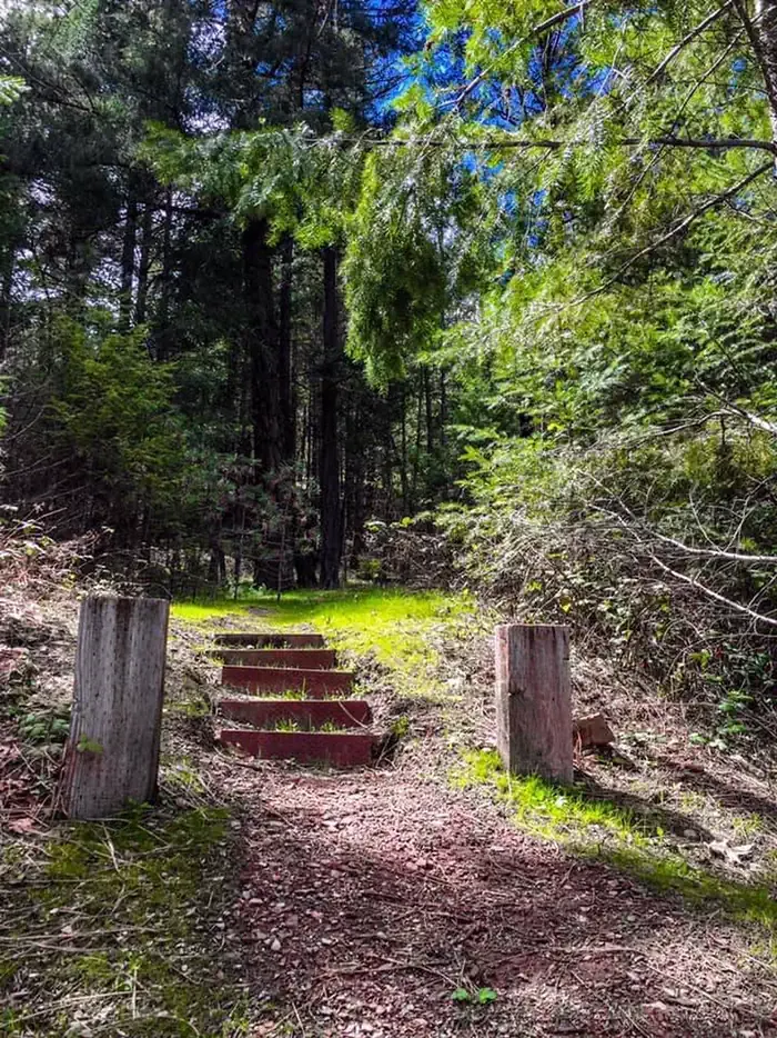 Mary Smith CampgroundCampingPhoto: Recreation.gov (RIDB) / public domain7.9 mi
Source: Roamze catalog (indexable pages within 10 miles, PostGIS distance)
 Ward LakeHiking · ~7 min drivePhoto: ilya_ktsn, CC BY 2.0 (via Flickr)
 Landers LakeHiking · ~9 min drivePhoto: ilya_ktsn, CC BY 2.0 (via Flickr)
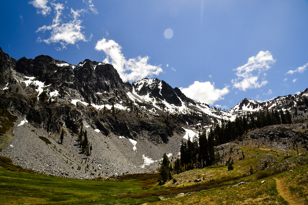 Cow Camp SpurHiking · ~11 min drivePhoto: ilya_ktsn, CC BY 2.0 (via Flickr)
- Stuart Fork TrailHiking · ~10 min drive
 Willow CreekHiking · ~8 min drivePhoto: ilya_ktsn, CC BY 2.0 (via Flickr)
 Mumford Basin Trail (Not Maintained)Hiking · ~10 min drivePhoto: ilya_ktsn, CC BY 2.0 (via Flickr)
 Canyon ScrambleHiking · ~9 min drivePhoto: Jeffrey Pang from Berkeley, CA, USA, CC BY 2.0 (via Wikimedia Commons)
- RUSH CREEKHiking · ~10 min drive
- Sunrise CreekHiking · ~9 min drivePhoto: ilya_ktsn, CC BY 2.0 (via Flickr)
- CaribouHiking · ~4 min drive

Map and trail data © OpenStreetMap contributors
