Apple Tree Rustic Campsite
Campground
Campground · 0.5 mi from the trail
 Photo: ilya_ktsn, CC BY 2.0 (via Flickr)
Closure in the area
There's a closure order in Monterey Ranger District. It doesn't name Skinner Ridge, so check the source for the area it covers.
Monterey Ranger District Emergency Closure Order with Exceptions
Agency closure covering Monterey Ranger District · Order 05-07-51-26-11 · USFS · Monterey Ranger District
Los Padres Fire Use and Firearm Restrictions
Agency alert covering Los Padres National Forest · Order 05-07-00-26-05 · USFS · Los Padres National Forest
San Carpoforo Beach Prohibition of Overnight Camping and Campfires
Agency alert covering Monterey Ranger District · Order 05-07-51-26-03 · USFS · Monterey Ranger District
Santa Barbara Front Country Fire Use Restrictions
Agency alert covering Los Padres National Forest · Order 05-07-5406-01 · USFS · Los Padres National Forest
As of · Source: USFS · Monterey Ranger District. Agencies don't list every closure — check before you go.
Skinner Ridge is a hard hike in California's Ventana Wilderness, part of the Monterey Ranger District of Los Padres National Forest. The trail is an out-and-back route of about 8.3 miles, with a one-way elevation gain of 1,279 feet, taking you from a low point of about 3,196 feet to a high of about 4,143 feet. The Forest Service manages the land, and the trail is natural-surfaced and open year-round. The route is not accessible, and horses are allowed. The closest neighbor is the Turner Creek hike, about 0.2 miles away, with San Clemente and Comings Camp both about 1.2 miles off. Pfeiffer Big Sur State Park Campground lies about 8.1 miles away.
Apple Tree Rustic Campsite
Campground
Running Iron
Restaurant
 If it rainsLordHarris at English Wikipedia, CC BY-SA 3.0 · Wikimedia Commons
Places © OpenStreetMap contributors · Photos: LordHarris at English Wikipedia, CC BY-SA 3.0 (commons)
More in Gonzales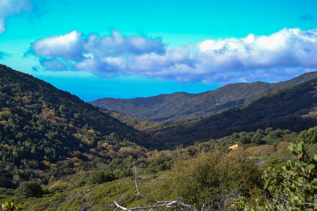 Turner CreekHikingPhoto: ilya_ktsn, CC BY 2.0 (via Flickr)0.2 mi
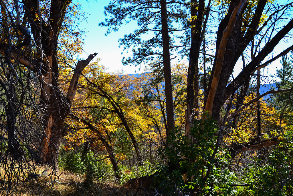 San ClementeHikingPhoto: ilya_ktsn, CC BY 2.0 (via Flickr)1.2 miComings CampHikingPhoto: ilya_ktsn, CC BY 2.0 (via Flickr)1.2 mi
 Little Sur CampHikingPhoto: DeeAshley, CC BY 2.0 (via Flickr)1.8 mi
 Carmel RiverCanoeingPhoto: David.c.stone, CC BY 3.0 (via Wikimedia Commons)6.1 mi
 Pfeiffer Big Sur State Park CampgroundCampingPhoto: Slipshod Photog — CC BY 2.0 (via Flickr)8.1 mi
Source: Roamze catalog (indexable pages within 10 miles, PostGIS distance)
Turner CreekHiking · Next doorPhoto: ilya_ktsn, CC BY 2.0 (via Flickr)Comings CampHiking · ~2 min drivePhoto: ilya_ktsn, CC BY 2.0 (via Flickr) Ventana Double ConeHiking · ~4 min drivePhoto: ilya_ktsn, CC BY 2.0 (via Flickr)
 Jackson Camp Access TrailHiking · ~4 min drivePhoto: DeeAshley, CC BY 2.0 (via Flickr)Nature TrailHiking · ~4 min drivePhoto: DeeAshley, CC BY 2.0 (via Flickr)San ClementeHiking · ~2 min drivePhoto: ilya_ktsn, CC BY 2.0 (via Flickr)
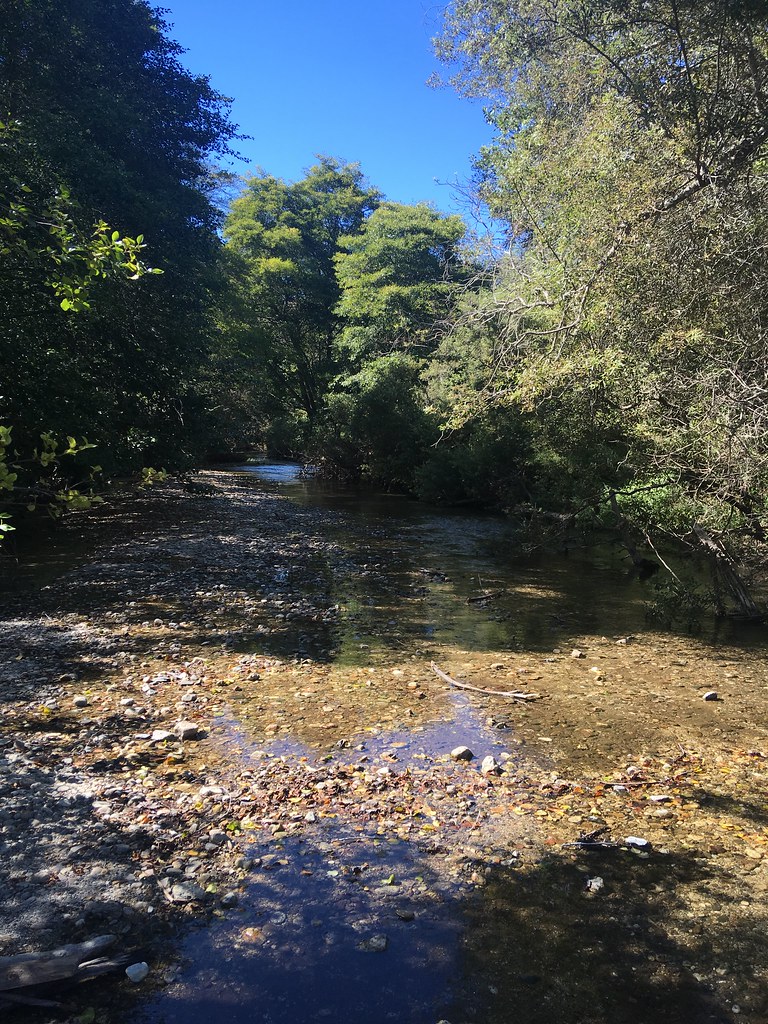 Beach TrailHiking · ~10 min drivePhoto: sergei.gussev, CC BY 2.0 (via Flickr)
Season: Year-round.
About 8.3 mi round trip.
About 1,279 ft of climbing round trip.
It is rated hard.
Year-round.
Daily highs and lows, wind and the chance of precipitation at the summit and route start for the next 7 days, from the Open-Meteo model.

