Mt. Manuel
 Photo: Roger Sylvia, CC BY-SA 3.0 (via Wikimedia Commons)
- 3.8 mi
- round trip
- 1,185 ft
- climb
- 1,771 ft
- high point
- Out and back
- route
- Jan–Dec
- best months
Caution today
Agency alerts are in effect for this area; a fire perimeter is near this location; weather is good · USFS, nifc_wfigs, OpenWeather · checked 1 h ago
Is Mt. Manuel open right now?
Closure in the area
There's a closure order in Monterey Ranger District. It doesn't name Mt. Manuel, so check the source for the area it covers.
Monterey Ranger District Emergency Closure Order with Exceptions
Agency closure covering Monterey Ranger District · Order 05-07-51-26-11 · USFS · Monterey Ranger District
Los Padres Fire Use and Firearm Restrictions
Agency alert covering Los Padres National Forest · Order 05-07-00-26-05 · USFS · Los Padres National Forest
San Carpoforo Beach Prohibition of Overnight Camping and Campfires
Agency alert covering Monterey Ranger District · Order 05-07-51-26-03 · USFS · Monterey Ranger District
Santa Barbara Front Country Fire Use Restrictions
Agency alert covering Los Padres National Forest · Order 05-07-5406-01 · USFS · Los Padres National Forest
As of · Source: USFS · Monterey Ranger District. Agencies don't list every closure — check before you go.
Mt. Manuel is a moderate out-and-back hike in the Monterey Ranger District of Los Padres National Forest in California, about 3.8 miles long with an elevation gain of 1,185 feet. The trail starts at a low point of about 559 feet and climbs to a high point of 1,771 feet. The route is on natural surface and is not accessible. Horses are allowed, so it works for riders as well as hikers. Summer and early fall are the most comfortable times to go. Typical averages from a nearby weather station show highs around 75 to 77°F from July through September, with almost no wet days. That station sits well below the trail, so temperatures on the climb run cooler. The trail is open year-round, and the closest neighbors are Pfeiffer Big Sur State Park Campground, Post Creek Trail and Pine Ridge Trail, all about 0.4 miles away. Pfeiffer Falls Trail is about 0.6 miles off.
 Pfeiffer Big Sur State Park CampgroundCampingPhoto: Slipshod Photog — CC BY 2.0 (via Flickr)0.4 mi
- Post Creek TrailHiking0.4 mi
- Pine Ridge TrailHiking0.4 mi
- Valley View TrailHikingPhoto: Roger Sylvia, CC BY-SA 3.0 (via Wikimedia Commons)0.6 mi
 Pfeiffer Falls TrailHikingPhoto: Aleksandr Zykov, CC BY-SA 2.0 (via Flickr)0.6 mi
- Buzzards Roost TrailHikingPhoto: Roger Sylvia, CC BY-SA 3.0 (via Wikimedia Commons)0.6 mi
- Pine RidgeHiking1 mi
- Little Sur RiverCanoeing6.2 mi
Source: Roamze catalog (indexable pages within 10 miles, PostGIS distance)
- Valley View TrailHiking · Next doorPhoto: Roger Sylvia, CC BY-SA 3.0 (via Wikimedia Commons)
- Buzzards Roost TrailHiking · ~1 min drivePhoto: Roger Sylvia, CC BY-SA 3.0 (via Wikimedia Commons)
 Tan Bark TrailHiking · ~11 min drivePhoto: tdlucas5000, CC BY 2.0 (via Flickr)
 Black Cone TrailHiking · ~13 min drivePhoto: yargeritaville, CC0 (via Wikimedia Commons)
- Pfeiffer Falls TrailHiking · ~1 min drivePhoto: Aleksandr Zykov, CC BY-SA 2.0 (via Flickr)
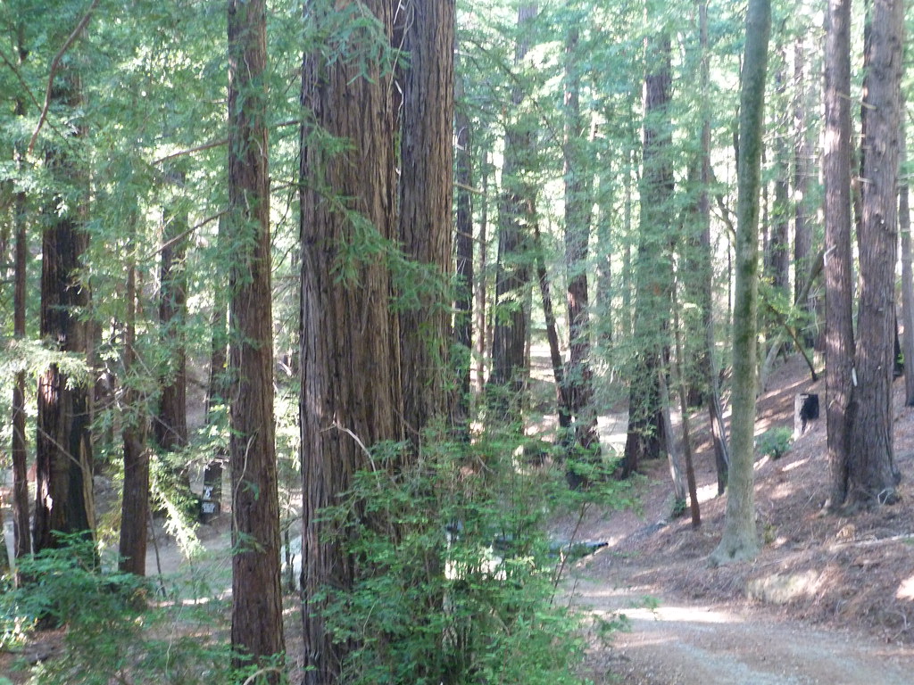 Terrace CreekHiking · ~4 min drivePhoto: S. Rae, CC BY 2.0 (via Flickr)
 Skinner RidgeHiking · ~14 min drivePhoto: ilya_ktsn, CC BY 2.0 (via Flickr)
- Manuel Peak TrailHiking · ~7 min drive
 Ventana CampHiking · ~3 min drivePhoto: ilya_ktsn, CC BY 2.0 (via Flickr)
 Jackson Camp Access TrailHiking · ~10 min drivePhoto: DeeAshley, CC BY 2.0 (via Flickr)
Best time to visit Mt. Manuel
Best months: Year-round. Best months have typical highs of 55–85 °F, lows of 30 °F or warmer (32 °F where the station doesn't record snow), at most one snowy day and no more than 12 wet days.
Jan
61° / 42°
11 wet
Feb
61° / 43°
11 wet
Mar
64° / 43°
10 wet
Apr
67° / 44°
6 wet
May
70° / 45°
4 wet
Jun
74° / 48°
1 wet
Jul
75° / 51°
0 wet
Aug
77° / 50°
0 wet
Sep
77° / 50°
1 wet
Oct
74° / 48°
3 wet
Nov
65° / 45°
7 wet
Dec
59° / 42°
10 wet
Typical high / low (°F) and days with rain or snow, 1991–2020. Measured at Big Sur Stn, CA, 0.3 mi away at 200 ft. The station sits about 1,600 ft lower than this place, so expect it a little cooler here. Source: NOAA NCEI U.S. Climate Normals 1991–2020.
