Tuttle Creek Campground
- Feb–May, Oct–Nov
- best months
- At 5,063 ft
- Bishop Field Office
Overview $10.00 per site per night. No reservations. Open all year. Tuttle Creek Campground offers 83 RV/tent sites, with ten pull-through trailer spaces, maximum recommended RV length is 30 feet. All sites include a fire pit, picnic table and a lantern holder. No hook-up. Potable water is available seasonally. Dump station fee is $10.00, no passes accepted, closed in winter. Closest amenities are 5 miles northeast in Lone Pine. Tuttle Creek Campground SignTuttle Creek Campground siteTuttle Creek Campground equestrian site One group site is available for $30.00 per night. The group camping area is approximately the size of four sites combined, with six picnic tables and four fire pits. Tent camping will accommodate up to 15 people comfortably. RV and trailer space within the group site is limited to approximately four. Adjacent sites may be rented upon arrival. Please call for group site reservations (760) 872-5000. Two horse corrals are available for $10.00 per night, including the associated site. Weed-free hay is required. Reservations accepted. Camping for a period longer than 14 days at any one campground, not to exceed 28 days per calendar year for all Bishop Field Office campgrounds, is prohibited without the written permission from the Field Office Manager. A California Campfire Permit is not required for fires within established fire rings in developed campgrounds. Seasonal fire restrictions may prohibit campfires during periods of high fire danger. Please check the BLM’s website for information on current fire restrictions or call the Bishop Field Office at (760) 872-5000. Off Highway Vehicle Regulations Visitors are responsible for knowing area rules and regulations. The regulations are enforceable under U.S. Code of Federal Regulations and violations are punishable with fines up to $1,000 and/or imprisonment for not longer than 12 months. Within the campgrounds, all motor vehicles must adhere to the 10 mph speed limit. No motor vehicle shall exceed 15 mph within 50 feet of any campground, campsite, or concentration of people or animals. Emergency Information: In case of an emergency, call 9-1-1 Inyo County Sheriff (760) 873-7887 Mono County Sheriff (760) 932-7549 Private Lands Surrounding the BLM lands throughout the Bishop Field Office Resource Management Area is land owned by the Los Angeles Department of Water and Power or private landowners. Please obey signs and stay on trails. Please respect the rights of private landowners and signs posted in these areas.
Local outfitters
- Glacier Lodge42 mi away
- Rainbow Pack Outfitters49 mi away
Not on Roamze yet. Their page has how to reach them.
- The Candy StoreRock climbing1.4 mi
 Tootsie Pop TowerRock climbingPhoto: jfdervin, CC BY-SA 2.0 (via Flickr)1.4 mi
- Rock Candy TowerRock climbingPhoto: jfdervin, CC BY-SA 2.0 (via Flickr)1.4 mi
 Alabama Hills TrailHikingPhoto: lamblukas, CC BY 2.0 (via Flickr)2.7 mi
 Arch Loop TrailHikingPhoto: hakkun, CC BY-SA 3.0 (via Wikimedia Commons)3.2 mi
- Tuttle Creek TrailHiking3.3 mi
- Lone PineCamping3.9 mi
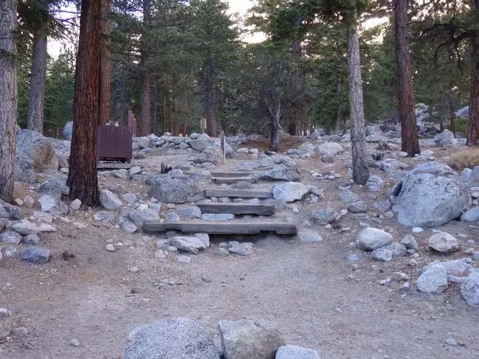 Whitney PortalCampingPhoto: Recreation.gov (RIDB) / public domain6 mi
Source: Roamze catalog (indexable pages within 10 miles, PostGIS distance)
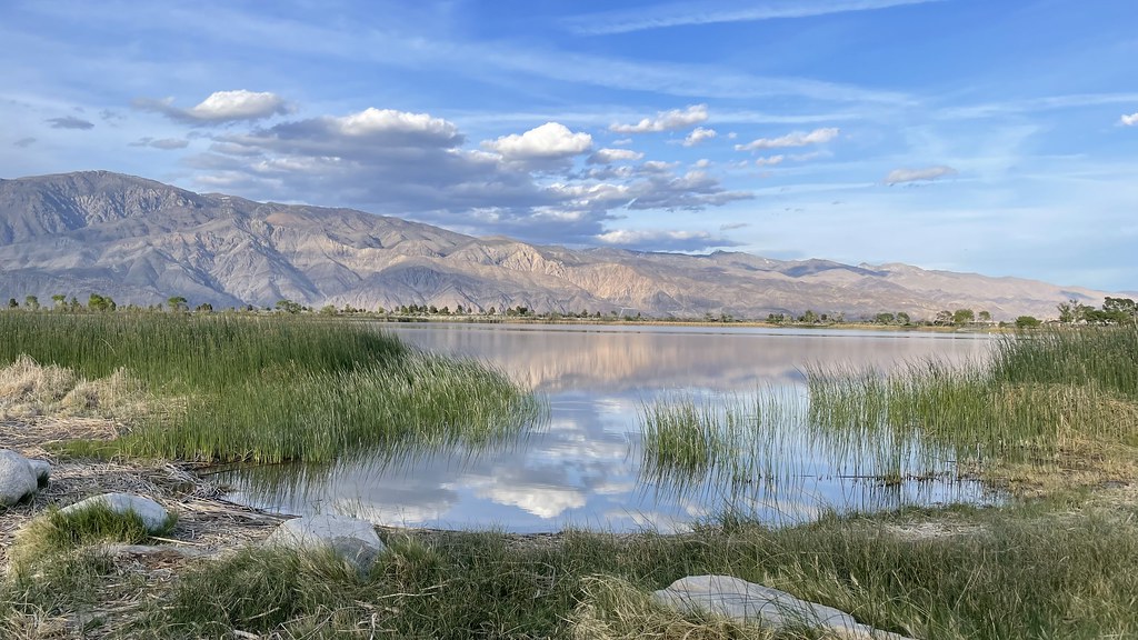 Diaz Lake CampgroundCamping · ~7 min drivePhoto: jfdervin — CC BY-SA 2.0 (via Flickr)
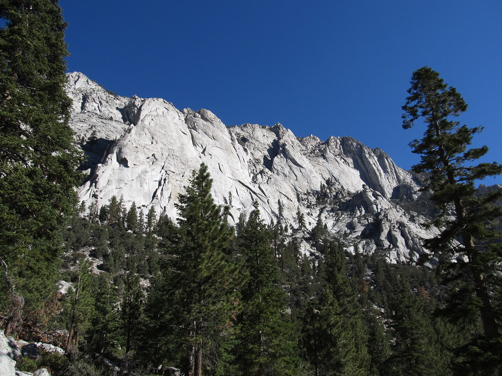 Whitney Trailhead Walk In CampgroundCamping · ~11 min drivePhoto: Ken Lund — CC BY-SA 2.0 (via Flickr)
- Onion ValleyCamping · ~32 min drive
 Bearpaw Meadow High Sierra CampCamping · ~47 min drivePhoto: Eeekster (talk · contribs), CC BY 3.0 (via Wikimedia Commons)
- Whitney PortalCamping · ~10 min drive
- Portuguese Joe CampgroundCamping · ~7 min drive
- Lone PineCamping · ~7 min drive
- Sierra View RV ParkCamping · ~8 min drive
- Boulder Creek RV ResortCamping · ~8 min drive
- Whitney Portal Family CampgroundCamping · ~10 min drive
Also worth it near here
- Tootsie Pop TowerRock climbing · ~2 min drivePhoto: jfdervin, CC BY-SA 2.0 (via Flickr)
- Alabama Hills TrailHiking · ~5 min drivePhoto: lamblukas, CC BY 2.0 (via Flickr)
 Mobius ArchNatural arch · ~6 min drivePhoto: Clyde Charles Brown, CC BY-SA 4.0 (via Wikimedia Commons)
 Lone Pine PeakSummit · ~9 min drivePhoto: UFGS Region 5, CC BY 2.0 (via Wikimedia Commons)
Best time to visit Tuttle Creek Campground
Best months: February–May and October–November. Best months have typical highs of 55–85 °F, lows of 30 °F or warmer (32 °F where the station doesn't record snow), at most one snowy day and no more than 12 wet days.
Jan
58° / 30°
4 wet
Feb
61° / 33°
4 wet
Mar
69° / 39°
3 wet
Apr
76° / 44°
1 wet
May
85° / 53°
1 wet
Jun
96° / 62°
1 wet
Jul
102° / 67°
1 wet
Aug
101° / 65°
1 wet
Sep
93° / 58°
1 wet
Oct
81° / 48°
1 wet
Nov
67° / 36°
2 wet
Dec
57° / 29°
4 wet
Typical high / low (°F) and days with rain or snow, 1991–2020. Measured at Independence, CA, 16.6 mi away at 3,950 ft. The station sits about 1,100 ft lower than this place, so expect it a little cooler here. This station doesn't record snowfall. Source: NOAA NCEI U.S. Climate Normals 1991–2020.
Tuttle Creek Campground
Book on Recreation.gov
