Alma Mesa
- 6,783 ft
- summit
- 1
- way up
- May–Jun, Sep
- best months
Is Alma Mesa open right now?
Closure in the area
There's a closure order in Apache-Sitgreaves National Forests. It doesn't name Alma Mesa, so check the source for the area it covers (2 listed).
Temporary Emergency Closure
Agency closure covering Apache-Sitgreaves National Forests · Order 03-01-26-004 · USFS · Apache-Sitgreaves National Forests
Benny Creek Campground/Southfork Day Use Area Closure Order - Springerville Ranger District
Agency closure covering Apache-Sitgreaves National Forests · Order 03-01-25-06-004 · USFS · Apache-Sitgreaves National Forests
Forest Road Conditions Alert
Agency alert covering Apache-Sitgreaves National Forests · USFS · Apache-Sitgreaves National Forests
No Fire Restrictions
Agency alert covering Apache-Sitgreaves National Forests · USFS · Apache-Sitgreaves National Forests
As of · Source: USFS · Apache-Sitgreaves National Forests. Agencies don't list every closure — check before you go.
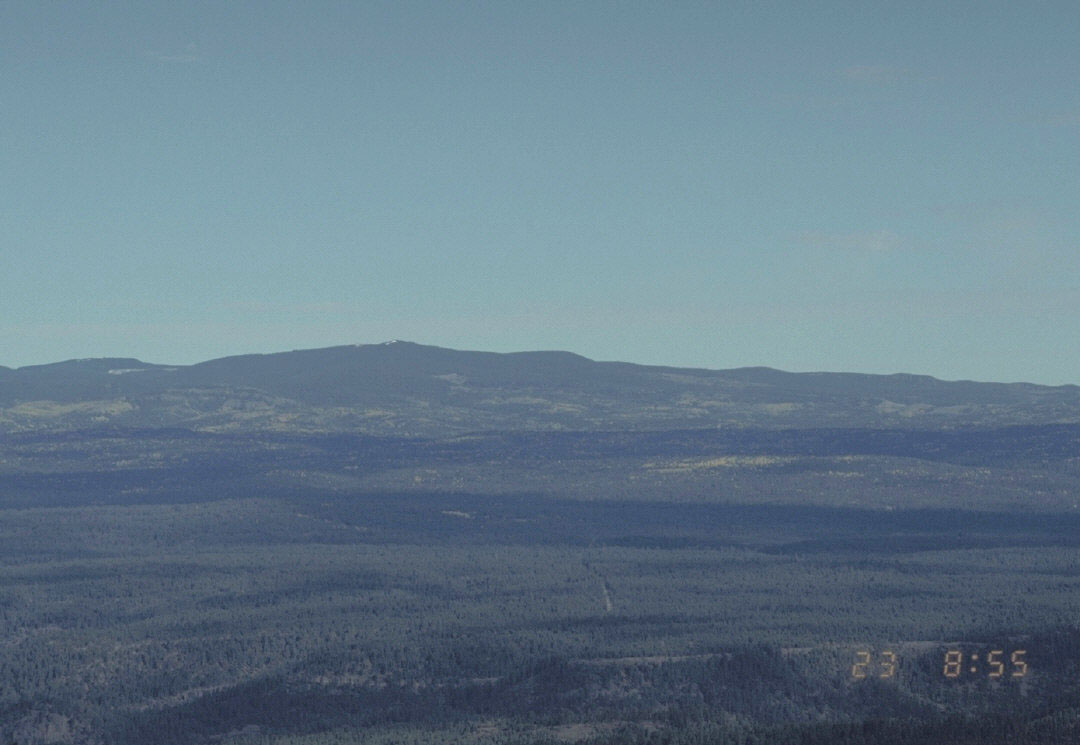
Alma Mesa is a summit of 6,783 feet in the Clifton Ranger District of the Apache-Sitgreaves National Forests in eastern Arizona. The nearest town is Alma, New Mexico, about 12 miles away. Spring and fall are the most comfortable times to visit. Typical averages from a nearby weather station at Luna, New Mexico, show May highs around 75°F and October highs around 71°F, while July and August bring the most wet days, about 14 and 15 a month. Several hikes start close by. Keller is about 2 miles away, Horse Mesa is about 2 miles away, and Hannah Trail is about 2.3 miles away. For paddling, the Blue River is about 5 miles off.
Conditions and forecast
Daily highs and lows, wind and the chance of precipitation at the summit and route start for the next 7 days, from the Open-Meteo model.
- Summit elevation
- 6,783 ft
Elevation from USGS 3D Elevation Program terrain data (about 10 m resolution).
Map © Mapbox © OpenStreetMap contributors Questions about Alma Mesa
How tall is Alma Mesa?
6,783 ft (2,067 m).
How many routes go to the summit of Alma Mesa?
One: Stateline.
Where do the routes up Alma Mesa start?
Stateline starts at STATELINE TRAILHEAD (#618) (about 6,080 ft).
When is the best time to climb Alma Mesa?
Year-round.
- KellerHiking1.8 mi
- Horse MesaHiking2 mi
- Hannah TrailHiking2.3 mi
- Yam Canyon TrailHiking2.8 mi
- WinterHiking2.8 mi
- StatelineHiking2.8 mi
- Blue RiverCanoeing5.1 mi
- CosmicCamping8.9 mi
Source: Roamze catalog (indexable pages within 10 miles, PostGIS distance)
 Escudilla MountainSummit · ~57 min drivePhoto: Chris M Morris, CC BY 2.0 (via Wikimedia Commons)
 Mount BaldySummit · ~1h 11m drivePhoto: U.S. Forest Service, Public domain (via Wikimedia Commons)
- Government MesaSummit · ~6 min drive
- W S MountainSummit · ~7 min drive
- Charlie Moore MountainSummit · ~13 min drive
- Maple PeakSummit · ~15 min drive
- Blue PeakSummit · ~24 min drive
- Red HillsSummit · ~26 min drive
- Holt MountainSummit · ~36 min drive
- Robinson MesaSummit · ~37 min drive
Best time to visit Alma Mesa
Best months: May–June and September. Best months have typical highs of 55–85 °F, lows of 30 °F or warmer (32 °F where the station doesn't record snow), at most one snowy day and no more than 12 wet days.
Jan
52° / 13°
5 wet · 2 snow
Feb
55° / 16°
5 wet · 2 snow
Mar
61° / 19°
5 wet · 1 snow
Apr
67° / 25°
3 wet · 1 snow
May
75° / 30°
4 wet
Jun
85° / 37°
5 wet
Jul
85° / 48°
14 wet
Aug
82° / 47°
15 wet
Sep
79° / 39°
9 wet
Oct
71° / 27°
5 wet
Nov
61° / 18°
4 wet · 1 snow
Dec
52° / 13°
5 wet · 2 snow
Typical high / low (°F) and days with rain or snow, 1991–2020. Measured at Luna Rs, NM, 25.3 mi away at 7,050 ft. Source: NOAA NCEI U.S. Climate Normals 1991–2020.
