Campground East
Campground
Campground · 4.1 mi from the trail
Closure in the area
There's a closure order in Tonto National Forest. It doesn't name Pokey Dance, so check the source for the area it covers.
Rattlesnake Cove Developed Recreation Site - Post Flood Recovery and Public Safety Closure
Agency closure covering Tonto National Forest · Order 3-12-01-26-36 · USFS · Tonto National Forest
Temporary Public Health and Safety Closure Granite Reef Recreation Site Area Closure
Agency alert covering Mesa Ranger District · Order 03-12-03-26-33 · USFS · Mesa Ranger District
Canyon Lake Drawdown Public Safety Closure
Agency alert covering Tonto National Forest · Order 03-12-00-26-22 · USFS · Tonto National Forest
No Fire Restrictions
Agency alert covering Tonto National Forest · USFS · Tonto National Forest
Lower Salt River Seasonal Bald Eagle Closures
Agency alert covering Mesa Ranger District · Order 03-12-03-24-65 · USFS · Mesa Ranger District
As of · Source: USFS · Tonto National Forest. Agencies don't list every closure — check before you go.
One of five routes catalogued at Lower East Wall, this climb sits in the middle of the grade range found at the crag. First ascent by Treiber, Hill.
Campground East
Campground
Trails End
Attraction
Places © OpenStreetMap contributors
More in SuperiorNot on Roamze yet. Their page has how to reach them.
 Barks Canyon WallRock climbing · ~3 min drivePhoto: David Taylor from Coeur d Alene, United States, CC BY 2.0 (via Wikimedia Commons)
 The CemeteryRock climbing · ~3 min drivePhoto: Alan English CPA from Scottsdale, Arizona 85254, USA, CC BY-SA 2.0 (via Wikimedia Commons)
 Myth WallRock climbing · ~3 min drivePhoto: David Taylor from Coeur d Alene, United States, CC BY 2.0 (via Wikimedia Commons)The FortressRock climbing · ~3 min drivePhoto: David Taylor from Coeur d Alene, United States, CC BY 2.0 (via Wikimedia Commons)Wild Horse WallRock climbing · ~3 min drivePhoto: David Taylor from Coeur d Alene, United States, CC BY 2.0 (via Wikimedia Commons)Nosepicker PinnaclesRock climbing · ~4 min drivePhoto: David Taylor from Coeur d Alene, United States, CC BY 2.0 (via Wikimedia Commons)
 Superstition MountainsRock climbing · ~5 min drivePhoto: Deborah Lee Soltesz from Flagstaff, AZ, CC0 (via Wikimedia Commons)
 Carney Springs WallRock climbing · ~6 min drivePhoto: David Taylor from Coeur d Alene, United States, CC BY 2.0 (via Wikimedia Commons)Weavers NeedleRock climbing · ~6 min drivePhoto: Deborah Lee Soltesz from Flagstaff, AZ, CC0 (via Wikimedia Commons)
 The IcebergRock climbing · ~14 min drivePhoto: Sean Foster, CC BY 3.0 (via Wikimedia Commons)
Best months: October–April. Best months have typical highs of 55–85 °F, lows of 30 °F or warmer (32 °F where the station doesn't record snow), at most one snowy day and no more than 12 wet days.
Jan
62° / 44°
5 wet
Feb
65° / 46°
6 wet
Mar
72° / 49°
5 wet
Apr
78° / 55°
2 wet
May
87° / 64°
2 wet
Jun
97° / 73°
2 wet
Jul
99° / 77°
5 wet
Aug
97° / 76°
7 wet
Sep
93° / 72°
4 wet
Oct
84° / 63°
3 wet
Nov
72° / 52°
3 wet
Dec
62° / 44°
4 wet
Typical high / low (°F) and days with rain or snow, 1991–2020. Measured at Superior, AZ, 15 mi away at 2,860 ft. The station sits about 700 ft lower than this place, so expect it a little cooler here. Source: NOAA NCEI U.S. Climate Normals 1991–2020.
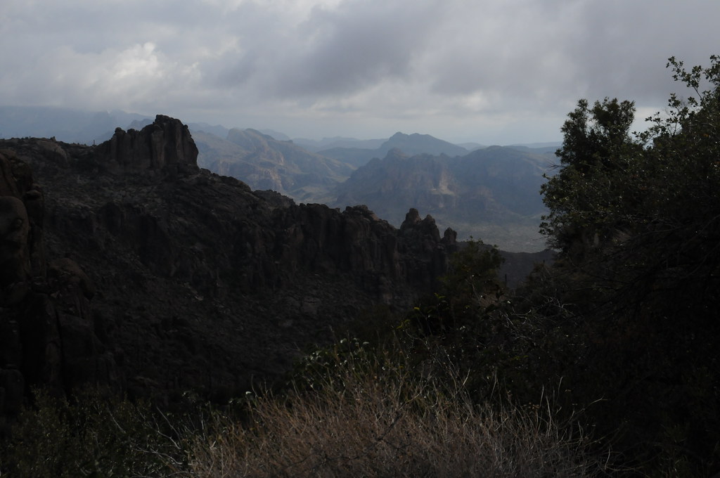
Photo of the crag