Playground Group
Campground
Campground · 2.4 mi from the trail
Closure in the area
There's a closure order in Prescott National Forest. It doesn't name Yeager Cabin, so check the source for the area it covers (5 listed).
Prescott National Forest Pile Burning Planned Through October
Agency closure covering Prescott National Forest · USFS · Prescott National Forest
Prescott National Forest Pile Burning through August
Agency closure covering Prescott National Forest · USFS · Prescott National Forest
NFS Road 354 Closure Order #03-07-26-02
Agency closure covering Prescott National Forest · Order 03-07-26-02 · USFS · Prescott National Forest
Juniper Fire (BLM)
Agency closure covering Prescott National Forest · USFS · Prescott National Forest
Orchard Fire
Agency closure covering Prescott National Forest · USFS · Prescott National Forest
As of · Source: USFS · Prescott National Forest. Agencies don't list every closure — check before you go.
Yeager Cabin is a moderate out-and-back hike in the Verde Ranger District of Prescott National Forest in Arizona, about 3.4 miles long with a total elevation gain of 567 feet. The trail rises from a low point of 6,622 feet to a high of 7,246 feet, and the Forest Service manages the land. The route is natural-surfaced and open to both horses and bikes, so riders and pack animals can join the walk. It works year-round, and the trail is listed as open season round the clock. Two mountain biking routes, Little Yeager Canyon Trail #533 and Yeager Cabin Trail #111, sit about 0.8 miles away. Yeager Mine is a hike roughly 1.1 miles off, and Playground Campground (Mingus) is about 2.4 miles away for an overnight stay.
Playground Group
Campground
 If it rainsDoncram, CC BY-SA 3.0 · Wikimedia Commons
An open-air museum located in Prescott, Arizona
Places © OpenStreetMap contributors · Photos: Doncram, CC BY-SA 3.0 (commons)
More in PrescottNot on Roamze yet. Their page has how to reach them.
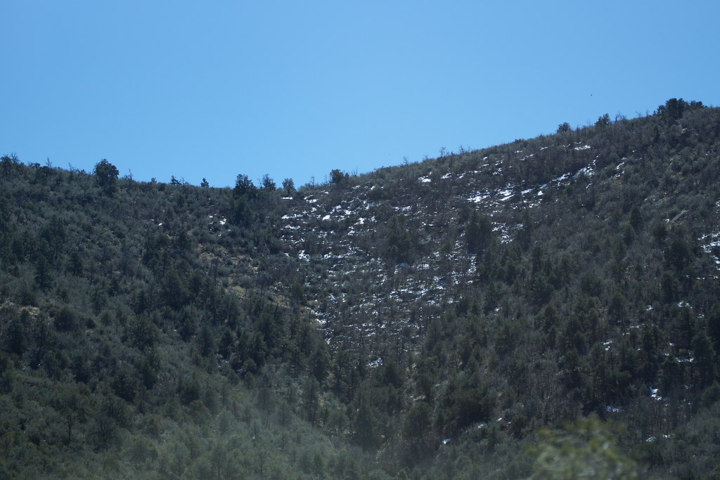 Yeager MineHikingPhoto: vaxomatic, CC BY 2.0 (via Flickr)1.1 mi
 Roadside CragRock climbingPhoto: Vineet Potdar, CC BY-SA 3.0 (via Wikimedia Commons)2.1 mi
Source: Roamze catalog (indexable pages within 10 miles, PostGIS distance)
Yeager MineHiking · ~2 min drivePhoto: vaxomatic, CC BY 2.0 (via Flickr) Mingus ViewHiking · ~4 min drivePhoto: Nate Loper • #ArizonaGuide ️, CC BY 2.0 (via Flickr)
 Yeager CanyonHiking · ~3 min drivePhoto: vaxomatic, CC BY 2.0 (via Flickr)Upper MescalHiking · ~5 min drivePhoto: Nate Loper • #ArizonaGuide ️, CC BY 2.0 (via Flickr)ButterflyHiking · ~5 min drivePhoto: Nate Loper • #ArizonaGuide ️, CC BY 2.0 (via Flickr)West RimHiking · ~5 min drivePhoto: Nate Loper • #ArizonaGuide ️, CC BY 2.0 (via Flickr)
Also worth it near here
Roadside CragRock climbing · ~4 min drivePhoto: Vineet Potdar, CC BY-SA 3.0 (via Wikimedia Commons) Trail #550Mountain biking · ~5 min drivePhoto: Johnwayne Stroud, CC BY-SA 3.0 (via Wikimedia Commons)
 Mingus MountainSummit · ~6 min drivePhoto: Benjamin Cody, CC BY-SA 3.0 (via Wikimedia Commons)
