Playground Campground (Mingus)
Campground
Campground · 0.4 mi from the trail
 Photo: Nate Loper • #ArizonaGuide ️, CC BY 2.0 (via Flickr)
Caution at last check
Agency alerts are in effect for this area; weather is good · USFS, OpenWeather · checked 22 h ago
Closure in the area
There's a closure order in Verde Ranger District. It doesn't name West Rim, so check the source for the area it covers (6 listed).
643 Closure Restoration Event
Agency closure covering Verde Ranger District · Order 03-09-05-26-08 · USFS · Verde Ranger District
Prescott National Forest Pile Burning Planned Through October
Agency closure covering Prescott National Forest · USFS · Prescott National Forest
Prescott National Forest Pile Burning through August
Agency closure covering Prescott National Forest · USFS · Prescott National Forest
NFS Road 354 Closure Order #03-07-26-02
Agency closure covering Prescott National Forest · Order 03-07-26-02 · USFS · Prescott National Forest
Juniper Fire (BLM)
Agency closure covering Prescott National Forest · USFS · Prescott National Forest
As of · Source: USFS · Verde Ranger District. Agencies don't list every closure — check before you go.
West Rim is an easy, short hike in the Verde Ranger District of Prescott National Forest in Arizona, managed by the Forest Service. The route is about 2.1 miles long, with a total elevation gain of 8 feet, so it's a gentle out-and-back that starts and ends at nearly the same level. The trail is natural-surfaced and allows both horses and bikes, which makes it a practical choice for riders and equestrians. The climb is so slight that the high point of 7699 feet sits just 114 feet above the low point of 7585 feet. Several other destinations sit close by. Playground Campground (Mingus) and the Playground Group campground are each about 0.4 miles away, and the Middle Trail #537 is about 0.2 miles off. For fishing, Mingus Mountain is about 0.9 miles away.
Playground Campground (Mingus)
Campground
 If it rainsDoncram, CC BY-SA 3.0 · Wikimedia Commons
An open-air museum located in Prescott, Arizona
Places © OpenStreetMap contributors · Photos: Doncram, CC BY-SA 3.0 (commons)
More in PrescottNot on Roamze yet. Their page has how to reach them.
 Roadside CragRock climbingPhoto: Vineet Potdar, CC BY-SA 3.0 (via Wikimedia Commons)1.6 mi
Source: Roamze catalog (indexable pages within 10 miles, PostGIS distance)
Mingus ViewHiking · ~1 min drivePhoto: Nate Loper • #ArizonaGuide ️, CC BY 2.0 (via Flickr) Yeager CanyonHiking · ~2 min drivePhoto: vaxomatic, CC BY 2.0 (via Flickr)Upper MescalHiking · ~2 min drivePhoto: Nate Loper • #ArizonaGuide ️, CC BY 2.0 (via Flickr)
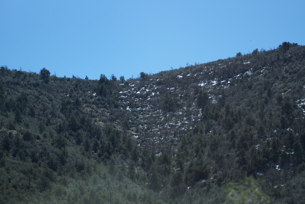 Little Yeager CanyonHiking · ~5 min drivePhoto: vaxomatic, CC BY 2.0 (via Flickr)
 MescalHiking · ~3 min drivePhoto: vaxomatic, CC BY 2.0 (via Flickr)Yeager MineHiking · ~6 min drivePhoto: vaxomatic, CC BY 2.0 (via Flickr)Upper MescalHiking · ~2 min drivePhoto: vaxomatic, CC BY 2.0 (via Flickr)


