Potato Patch Campground
Campground
Campground · 2.3 mi from the trail
Closure in the area
There's a closure order in Verde Ranger District. It doesn't name Woodchute, so check the source for the area it covers (6 listed).
643 Closure Restoration Event
Agency closure covering Verde Ranger District · Order 03-09-05-26-08 · USFS · Verde Ranger District
Prescott National Forest Pile Burning Planned Through October
Agency closure covering Prescott National Forest · USFS · Prescott National Forest
Prescott National Forest Pile Burning through August
Agency closure covering Prescott National Forest · USFS · Prescott National Forest
NFS Road 354 Closure Order #03-07-26-02
Agency closure covering Prescott National Forest · Order 03-07-26-02 · USFS · Prescott National Forest
Juniper Fire (BLM)
Agency closure covering Prescott National Forest · USFS · Prescott National Forest
As of · Source: USFS · Verde Ranger District. Agencies don't list every closure — check before you go.
Woodchute is a 13-mile out-and-back hike in Arizona's Woodchute Wilderness, part of the Prescott National Forest's Verde Ranger District. The trail climbs from about 5,470 feet to 7,646 feet, a gain of 2,427 feet, and is rated expert. The Forest Service manages the land, and the route is on natural surface. Horses are allowed, but bikes are not. The hike is open year-round, and the surrounding wilderness makes it a destination for a full day on foot. The trail's length and climb mean planning for time and supplies is essential. Nearby, the Rick Tank Cutoff and Mescal hikes both lie within about 2 miles. Potato Patch Campground is about 2.3 miles away, and Roadside Crag offers climbing roughly 2.9 miles off.
Potato Patch Campground
Campground
 If it rainsDoncram, CC BY-SA 3.0 · Wikimedia Commons
An open-air museum located in Prescott, Arizona
Places © OpenStreetMap contributors · Photos: Doncram, CC BY-SA 3.0 (commons)
More in PrescottNot on Roamze yet. Their page has how to reach them.
 Photo: vaxomatic, CC BY 2.0 (via Flickr)
Mescal
~3 min drive
2.58-mile out-and-back trail in Arizona with 470 ft gain.
 Photo: vaxomatic, CC BY 2.0 (via Flickr)
Yeager Canyon
~6 min drive
4.62-mile out-and-back trail in Arizona's Yeager Canyon with 309 ft gain.
 Photo: Chris English, CC BY-SA 3.0 (via Wikimedia Commons)
SOB CANYON
~11 min drive
13.6-mile out-and-back trail in Arizona with 3,426 ft gain and 4,690 ft max elevation.
 Photo: Nate Loper • #ArizonaGuide ️, CC BY 2.0 (via Flickr)
Upper Mescal
~4 min drive
0.78-mile out-and-back trail in Arizona with 316 ft of elevation gain.
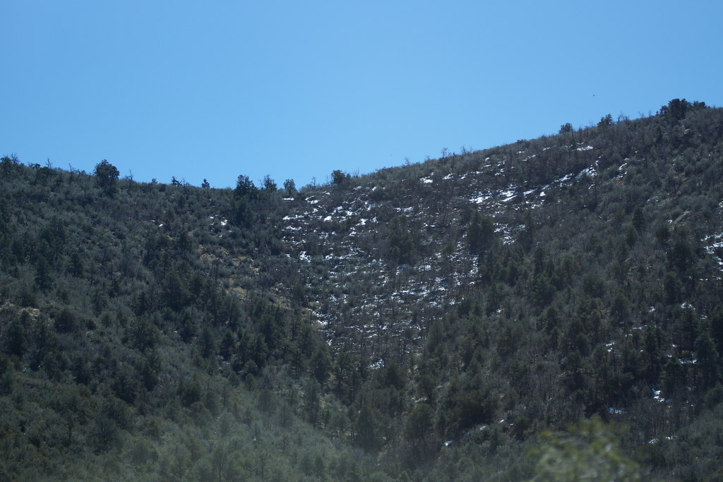 Photo: vaxomatic, CC BY 2.0 (via Flickr)
Little Yeager Canyon
~7 min drive
3.67-mile out-and-back trail in Arizona with 924 ft elevation gain.
HIKE
MARTIN CANYON
~7 min drive
12.4-mile out-and-back in Arizona with 2,044 ft gain and 6,938 ft max elevation
Photo: Nate Loper • #ArizonaGuide ️, CC BY 2.0 (via Flickr)Mingus View
~6 min drive
2.02-mile out-and-back trail in Arizona with 243 ft elevation gain.
Photo: vaxomatic, CC BY 2.0 (via Flickr)Yeager Mine
~9 min drive
2.01-mile out-and-back trail in Arizona with 820 ft gain.
HIKE
Black Canyon
~10 min drive
15.34-mile out-and-back trail in Arizona with 1,296 ft gain.
 Photo: jasonwoodhead23, CC BY 2.0 (via Flickr)
Verde River Greenway trail
~14 min drive
0.33-mile out-and-back trail on the Verde River Greenway in Arizona.

