

Camp Avalon Spiritual Nature Retreat
Hiking business nearby (~26 mi away) — hasn't claimed their Roamze page yet
Free — you'll pick up right here.
Watch this trail
Sign up to watch it — saving subscribes you to gate, closure and report changes.
Arizona
19.9 mi
Distance
254 ft
Gain
6h 46m
Time
We won't guess. Here is exactly what we do and don't know.
What we do know
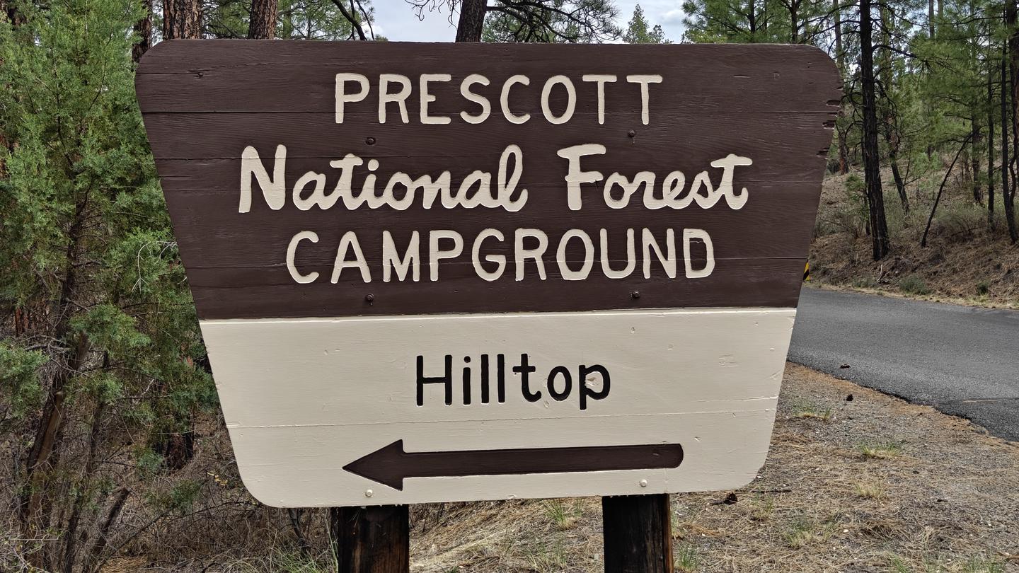
Inside Prescott National Forest
2 managing-area boundaries mapped — agency alerts for them feed this page automatically.
Boundary data
What's missing
No access route mapped
We don't yet know which road reaches this trailhead, so we can't tell you if it's gated.
Nobody's filed a report here yet — be the first.
Why you'll love it
General Crook
AI-suggested draft · review before you go
No permit or access details on file for this trail — check with the local land manager before you go.
The General Crook Trail is a 19.9-mile out-and-back route located in Arizona. This trail features modest elevation gain of 254 feet, making it accessible for hikers with varying experience levels despite its considerable length. The gentle gradient allows for a more leisurely pace, though the total distance should be factored into trip planning, particularly for those tackling the full route. As an out-and-back trail, hikers can turn around at any point to customize their experience and manage time and energy accordingly. This flexibility makes it suitable for day hikes of different durations. The trail's design means you'll retrace your steps on the return journey, providing familiar terrain for the way back. Given the extended mileage and Arizona location, bring adequate water and sun protection. The 254-foot elevation gain is distributed across nearly 20 miles, resulting in a very gradual ascent that minimizes strain while offering a substantial hiking workout through distance.
Sheep
~7 min drive
4.7 mi · Moderate
Black Canyon
~15 min drive
15 mi · Hard
Yeager Mine
~15 min drive
2.0 mi · Easy
Hilltop-Obrians
~25 min drive
Quick out-and-back hike near Hilltop-Obrians in Arizona.
Ash Creek
~8 min drive
5.0 mi · Moderate
View Point
~18 min drive
5.3 mi · Hard
Silver
~18 min drive
1.8 mi · Easy
Grapevine Gulch
~9 min drive
5.0 mi · Moderate
Copper Mountain Loop
~18 min drive
A 16.58-mile intermediate singletrack out-and-back in Arizona, connected to the Black Canyon Trail system.
Middle
~18 min drive
1.1 mi · Easy
Local operatorsoffering guided trips. You book directly with them — Roamze doesn’t take a cut.
Camp Avalon Spiritual Nature Retreat
Hiking business nearby (~26 mi away) — hasn't claimed their Roamze page yet
Canyon Outfitters Sedona
Hiking business nearby (~29 mi away) — hasn't claimed their Roamze page yet
Rancho Sedona RV Park
Hiking business nearby (~31 mi away) — hasn't claimed their Roamze page yet