Verde River
- 57.3 mi
- round trip
- 5,745 ft
- climb
- 5,886 ft
- high point
- Out and back
- route
- Mar–May, Oct
- best months
Is Verde River open right now?
Closure in the area
There's a closure order in Tonto National Forest. It doesn't name Verde River, so check the source for the area it covers.
Rattlesnake Cove Developed Recreation Site - Post Flood Recovery and Public Safety Closure
Agency closure covering Tonto National Forest · Order 3-12-01-26-36 · USFS · Tonto National Forest
Emergency Closure of Needle Rock and Box Bar Recreation Sites for Public Safety
Agency alert covering Cave Creek Ranger District · Order 03-12-01-26-32 · USFS · Cave Creek Ranger District
Horseshoe Dam Road (NFSR 205) Emergency Closure for Public Safety
Agency alert covering Cave Creek Ranger District · Order 03-12-01-26-31 · USFS · Cave Creek Ranger District
Riverside Post Fire Recovery and Safety Closure – Extension
Agency alert covering Cave Creek Ranger District · Order 03-12-01-26-24 · USFS · Cave Creek Ranger District
Canyon Lake Drawdown Public Safety Closure
Agency alert covering Tonto National Forest · Order 03-12-00-26-22 · USFS · Tonto National Forest
As of · Source: USFS · Tonto National Forest. Agencies don't list every closure — check before you go.
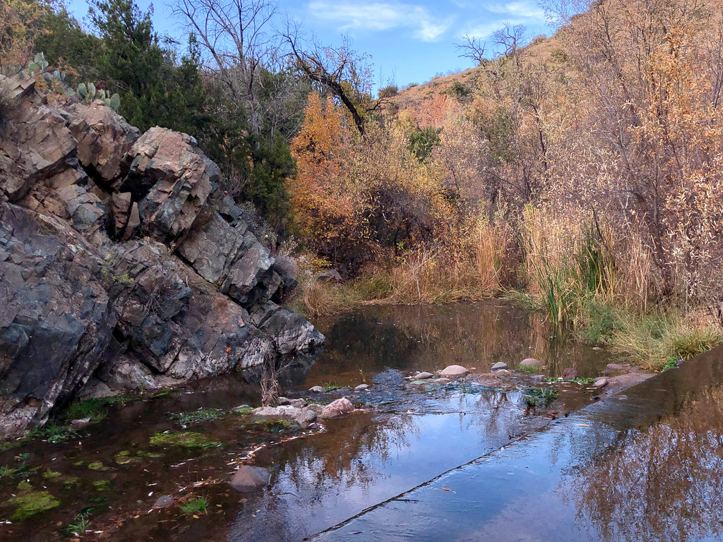
The Verde River hike is a long, hard out-and-back in Arizona's Mazatzal Wilderness, part of the Cave Creek Ranger District of Tonto National Forest. The route runs about 57 miles, with a total elevation gain of 5,745 feet, from a low point of 2,060 feet to a high of 5,886 feet. The trail is on natural surface and bikes are not allowed. Spring and fall are the most comfortable times to go. Typical averages from a nearby weather station in Payson show October highs around 76°F with lows near 41°F, and April highs around 72°F. Summer is hot, with July highs near 93°F. The trail is open year-round. Dutchman Grave is about 1.4 miles away, and Red Hills, Wet Bottom and Highwater are within about 5 miles. For an overnight base, Horseshoe Campground is about 9 miles off.
Local outfitters
- Arizona Desert Mountain Jeep Tours24 mi away
- Black Canyon Campground26 mi away
Not on Roamze yet. Their page has how to reach them.
- Dutchman GraveHiking1.4 mi
- Red HillsHiking3.1 mi
- Wet BottomHiking3.7 mi
- HighwaterHiking4.8 mi
- Willow BasinHiking5.7 mi
- Dead ManHiking7.1 mi
- Lost Trail #279Hiking8 mi
- Horseshoe CampgroundCamping9.3 mi
Source: Roamze catalog (indexable pages within 10 miles, PostGIS distance)
 Fig SpringHiking · ~20 min drivePhoto: Tanque Verde, CC BY 2.0 (via Flickr)
- Willow BasinHiking · ~10 min drive
- Wet BottomHiking · ~13 min drive
- Telegraph Line TrailHiking · ~20 min drive
 Cottonwood CreekHiking · ~24 min drivePhoto: Clay Gilliland, CC BY-SA 2.0 (via Flickr)
- Lost Trail #279Hiking · ~14 min drive
- MidnightHiking · ~15 min drive
- Rock CreekHiking · ~21 min drive
- Dutchman GraveHiking · ~2 min drive
- Pine MountainHiking · ~25 min drive
Best time to visit Verde River
Best months: March–May and October. Best months have typical highs of 55–85 °F, lows of 30 °F or warmer (32 °F where the station doesn't record snow), at most one snowy day and no more than 12 wet days.
Jan
56° / 26°
5 wet
Feb
58° / 28°
5 wet
Mar
65° / 32°
5 wet
Apr
72° / 36°
3 wet
May
80° / 43°
2 wet
Jun
90° / 51°
2 wet
Jul
93° / 60°
8 wet
Aug
91° / 59°
11 wet
Sep
86° / 52°
6 wet
Oct
76° / 41°
4 wet
Nov
64° / 31°
4 wet
Dec
55° / 26°
5 wet
Typical high / low (°F) and days with rain or snow, 1991–2020. Measured at Payson, AZ, 22 mi away at 4,850 ft. The station sits about 1,000 ft lower than this place, so expect it a little cooler here. This station doesn't record snowfall. Source: NOAA NCEI U.S. Climate Normals 1991–2020.
