Red Hills
- 24.6 mi
- round trip
- 2,653 ft
- climb
- 5,424 ft
- high point
- Out and back
- route
Is Red Hills open right now?
Alert in the area
The Forest Service lists 7 alerts for Cave Creek Ranger District.
Emergency Closure of Needle Rock and Box Bar Recreation Sites for Public Safety
Agency alert covering Cave Creek Ranger District · Order 03-12-01-26-32 · USFS · Cave Creek Ranger District
Horseshoe Dam Road (NFSR 205) Emergency Closure for Public Safety
Agency alert covering Cave Creek Ranger District · Order 03-12-01-26-31 · USFS · Cave Creek Ranger District
Riverside Post Fire Recovery and Safety Closure – Extension
Agency alert covering Cave Creek Ranger District · Order 03-12-01-26-24 · USFS · Cave Creek Ranger District
Canyon Lake Drawdown Public Safety Closure
Agency alert covering Tonto National Forest · Order 03-12-00-26-22 · USFS · Tonto National Forest
No Fire Restrictions
Agency alert covering Tonto National Forest · USFS · Tonto National Forest
As of · Source: USFS · Cave Creek Ranger District. Agencies don't list every closure — check before you go.
Red Hills is a hard out-and-back hike in Arizona's Mazatzal Wilderness, within the Cave Creek Ranger District of Tonto National Forest. The trail runs about 24.6 miles, with a one-way elevation gain of 2,653 feet, from a low point of 2,873 feet to a high of 5,424 feet. The Forest Service manages the land, and the route is on natural surface with no designated bike access. Spring and fall are the most comfortable times to go. Typical averages from a nearby weather station in Payson show October highs around 76°F with lows near 41°F, and April highs around 72°F. Summer is hot, with July highs averaging 93°F. The hike is open year-round. Dutchman Grave is about 2.3 miles away, Willow Basin about 2.9 miles, and the Verde River about 3.1 miles. Dead Man lies roughly 4.1 miles off.
Local outfitters
- Arizona Desert Mountain Jeep Tours24 mi away
- Black Canyon Campground29 mi away
Not on Roamze yet. Their page has how to reach them.
Keep exploring — more trails worth the drive
 Photo: Tanque Verde, CC BY 2.0 (via Flickr)
Fig Spring
~20 min drive
7.13-mile out-and-back trail to Fig Spring in Arizona with 336 ft of elevation gain.
HIKE
Willow Basin
~5 min drive
0.71-mile out-and-back trail to Willow Basin in Arizona with 3 feet of elevation gain.
HIKE
Midnight
~10 min drive
5.13-mile out-and-back trail in Arizona with 483 ft elevation gain.
HIKE
Rock Creek
~16 min drive
8.21-mile out-and-back trail in Arizona with 2,643 ft elevation gain.
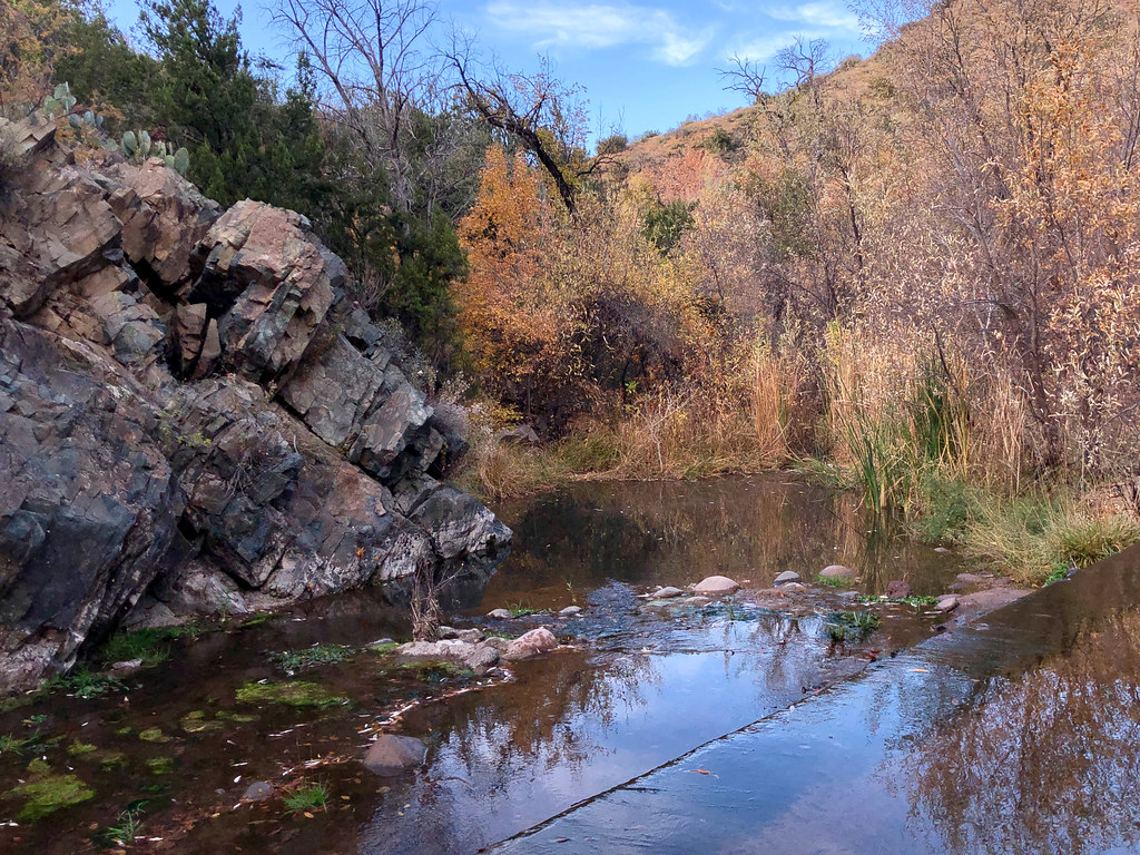 Photo: Clay Gilliland, CC BY-SA 2.0 (via Flickr)
Cottonwood Creek
~29 min drive
20.42-mile out-and-back trail in Arizona with 545 ft gain.
HIKE
Lost Trail #279
~8 min drive
0.84-mile out-and-back trail in Arizona with 710 ft elevation gain
HIKE
Wet Bottom
~11 min drive
5.11-mile out-and-back trail in Arizona with 208 ft elevation gain.
HIKE
Arizona Trail
~18 min drive
A 15.23-mile out-and-back trail in Arizona that connects to Passage 42, ideal for a full-day hiking adventure.
HIKE
Dutchman Grave
~4 min drive
21.30-mile out-and-back trail in Arizona with 1,340 ft elevation gain.
HIKE
Saddle Mountain Trail #91
~23 min drive
2.28-mile out-and-back hike with 919 ft gain in Arizona
