
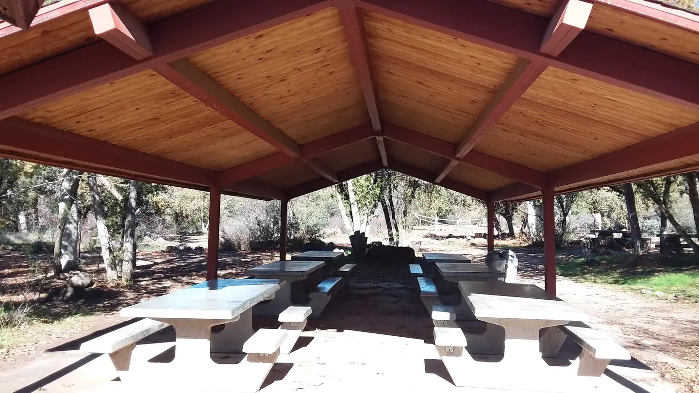
Black Canyon Campground
Hiking business nearby (~26 mi away) — hasn't claimed their Roamze page yet
Free — you'll pick up right here.
Watch this trail
Sign up to watch it — saving subscribes you to gate, closure and report changes.
Arizona
14.9 mi
Distance
2,477 ft
Gain
6h 13m
Time
We won't guess. Here is exactly what we do and don't know.
What we do know
Inside Tonto National Forest
3 managing-area boundaries mapped — agency alerts for them feed this page automatically.
Boundary data
What's missing
No access route mapped
We don't yet know which road reaches this trailhead, so we can't tell you if it's gated.
Nobody's filed a report here yet — be the first.
Why you'll love it
Wet Bottom
AI-suggested draft · review before you go
No permit or access details on file for this trail — check with the local land manager before you go.
Wet Bottom is a 14.9-mile out-and-back trail located in Arizona. This moderately challenging route features 2,477 feet of elevation gain, making it suitable for hikers with some experience. The trail's name references water features found along the route, which may be seasonal depending on recent rainfall and time of year. The out-and-back format means hikers will follow the same path returning to the trailhead, allowing for flexible turnaround points if desired. The elevation gain is distributed across the trail, providing a steady workout throughout the hike rather than steep sections concentrated in one area. Total hiking time will vary based on fitness level and pace, but most hikers should plan for a full day outing. Bring adequate water, sun protection, and reliable footwear suitable for Arizona terrain. Check current conditions before heading out, as desert trails can be affected by weather and maintenance schedules.
Highwater
~3 min drive
9.1 mi · Hard
Wet Bottom
~10 min drive
5.1 mi · Moderate
Willow Basin
~14 min drive
0.7 mi · Easy
Arizona Trail
~21 min drive
A 15.23-mile out-and-back trail in Arizona that connects to Passage 42, ideal for a full-day hiking adventure.
Verde River
~6 min drive
Scenic 57-mile Verde River backpacking route through remote Arizona canyons.
Midnight
~16 min drive
5.1 mi · Moderate
Pine Mountain
~18 min drive
2.5 mi · Easy
Dutchman Grave
~8 min drive
21 mi · Hard
Willow Springs
~18 min drive
3.1 mi · Moderate
Lower Cedar Bench
~30 min drive
A moderate 2.6-mile out-and-back trail in Arizona that links to Goat Springs Trail #542 and Chasm Creek Trail #164.
Local operatorsoffering guided trips. You book directly with them — Roamze doesn’t take a cut.
Black Canyon Campground
Hiking business nearby (~26 mi away) — hasn't claimed their Roamze page yet
Arizona Desert Mountain Jeep Tours
Hiking business nearby (~27 mi away) — hasn't claimed their Roamze page yet
Camp Avalon Spiritual Nature Retreat
Hiking business nearby (~46 mi away) — hasn't claimed their Roamze page yet