Dead Man
- 11.3 mi
- round trip
- 1,010 ft
- climb
- 5,120 ft
- high point
- Out and back
- route
- Mar–May, Oct
- best months
Is Dead Man open right now?
Alert in the area
The Forest Service lists 7 alerts for Cave Creek Ranger District.
Emergency Closure of Needle Rock and Box Bar Recreation Sites for Public Safety
Agency alert covering Cave Creek Ranger District · Order 03-12-01-26-32 · USFS · Cave Creek Ranger District
Horseshoe Dam Road (NFSR 205) Emergency Closure for Public Safety
Agency alert covering Cave Creek Ranger District · Order 03-12-01-26-31 · USFS · Cave Creek Ranger District
Riverside Post Fire Recovery and Safety Closure – Extension
Agency alert covering Cave Creek Ranger District · Order 03-12-01-26-24 · USFS · Cave Creek Ranger District
Canyon Lake Drawdown Public Safety Closure
Agency alert covering Tonto National Forest · Order 03-12-00-26-22 · USFS · Tonto National Forest
No Fire Restrictions
Agency alert covering Tonto National Forest · USFS · Tonto National Forest
As of · Source: USFS · Cave Creek Ranger District. Agencies don't list every closure — check before you go.
Dead Man is a hard hike in the Mazatzal Wilderness, part of the Cave Creek Ranger District of Tonto National Forest in Arizona. The Forest Service manages the land, and the trail is a natural-surface out-and-back that runs about 11.3 miles round trip, with a one-way climb of about 1,010 feet from a low point of 3,102 feet to a high of 5,120 feet. Spring and fall are the most comfortable times to go. Typical averages from a nearby weather station in Payson show April highs around 72°F and October highs around 76°F, while July averages climb to about 93°F and August brings the most wet days of the year. Bikes are not allowed on this trail. Several other hikes sit close by, including Lost Trail #279 about a mile away and Willow Basin at about 1.6 miles. Midnight and Willow Springs are both within about 4 miles.
Local outfitters
- Arizona Desert Mountain Jeep Tours24 mi away
- Black Canyon Campground33 mi away
Not on Roamze yet. Their page has how to reach them.
Best time to go · Mar–May, Oct
Best time to visit Dead Man
Best months: March–May and October. Best months have typical highs of 55–85 °F, lows of 30 °F or warmer (32 °F where the station doesn't record snow), at most one snowy day and no more than 12 wet days.
Jan
56° / 26°
5 wet
Feb
58° / 28°
5 wet
Mar
65° / 32°
5 wet
Apr
72° / 36°
3 wet
May
80° / 43°
2 wet
Jun
90° / 51°
2 wet
Jul
93° / 60°
8 wet
Aug
91° / 59°
11 wet
Sep
86° / 52°
6 wet
Oct
76° / 41°
4 wet
Nov
64° / 31°
4 wet
Dec
55° / 26°
5 wet
Typical high / low (°F) and days with rain or snow, 1991–2020. Measured at Payson, AZ, 16 mi away at 4,850 ft. This station doesn't record snowfall. Source: NOAA NCEI U.S. Climate Normals 1991–2020.
Keep exploring — more trails worth the drive
 Photo: Tanque Verde, CC BY 2.0 (via Flickr)
Fig Spring
~21 min drive
7.13-mile out-and-back trail to Fig Spring in Arizona with 336 ft of elevation gain.
 Photo: Ken Lund from Reno, Nevada, USA, CC BY-SA 2.0 (via Wikimedia Commons)
Palo Verde
~30 min drive
4.27-mile out-and-back trail in Arizona with 265 ft of elevation gain.
HIKE
Lost Trail #279
~2 min drive
0.84-mile out-and-back trail in Arizona with 710 ft elevation gain
HIKE
Rock Creek
~9 min drive
8.21-mile out-and-back trail in Arizona with 2,643 ft elevation gain.
HIKE
Red Hills
~7 min drive
24.57-mile out-and-back trail in Arizona with 2,653 ft gain.
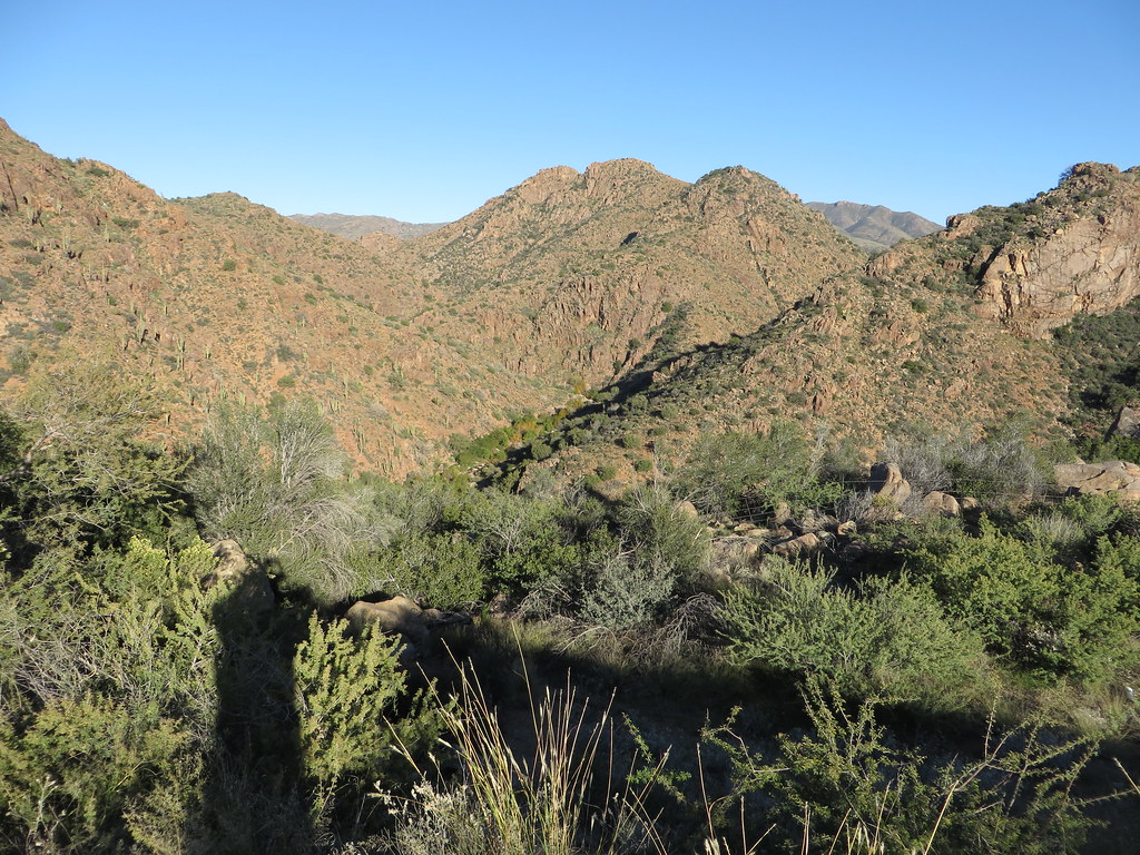 Photo: Ken Lund, CC BY-SA 2.0 (via Flickr)
Diamond
~31 min drive
Diamond is a 4.22-mile out-and-back trail in Arizona with 749 ft of elevation gain.
HIKE
Willow Basin
~3 min drive
0.71-mile out-and-back trail to Willow Basin in Arizona with 3 feet of elevation gain.
HIKE
Arizona Trail
~16 min drive
A 15.23-mile out-and-back trail in Arizona that connects to Passage 42, ideal for a full-day hiking adventure.
HIKE
Dutchman Grave
~10 min drive
21.30-mile out-and-back trail in Arizona with 1,340 ft elevation gain.
HIKE
Midnight
~6 min drive
5.13-mile out-and-back trail in Arizona with 483 ft elevation gain.
