Rock Wall Trail #608
- 2.8 mi
- round trip
- 1,161 ft
- climb
- 7,092 ft
- high point
- Out and back
- route
- May–Oct
- best months
Is Rock Wall Trail #608 open right now?
Alert in the area
The Forest Service lists an alert for Coconino National Forest.
West Fork Temporary Area Closure - Extension to 2/27/27
Agency alert covering Coconino National Forest · Order 03-04-00-26-09 · USFS · Coconino National Forest
As of · Source: USFS · Coconino National Forest. Agencies don't list every closure — check before you go.
Rock Wall Trail #608 is a 2.8-mile moderate hike in the Mogollon Rim Ranger District of Coconino National Forest, Arizona. The route is an out-and-back, about 5.7 miles long, with a one-way climb of 337 feet from the start at roughly 7,086 feet to a high point of about 7,092 feet. The Forest Service manages the land. Spring and fall are the most comfortable seasons. Typical averages from a nearby weather station run highs around 70°F with lows near 38°F in May and highs around 67°F with lows near 34°F in October. The station sits a few hundred feet lower than the trail. Rock Wall is 1.8 miles away and Pine Canyon is 2.3 miles away. For an overnight base, Sharp Creek Group campground is 3.8 miles off, and the Zone-tail Buttress climbing area is 4.5 miles away.
Local outfitters
- Camp Avalon Spiritual Nature Retreat34 mi away
- Rancho Sedona RV Park35 mi away
Not on Roamze yet. Their page has how to reach them.
- Rock WallHiking1.8 mi
- Pine CanyonHiking2.3 mi
 Good EnoughMountain bikingPhoto: Coconino National Forest, CC BY-SA 2.0 (via Wikimedia Commons)2.7 mi
- Sharp Creek GroupCamping3.8 mi
- Zone-tail ButtressRock climbing4.5 mi
- Main Wall - SouthRock climbing4.6 mi
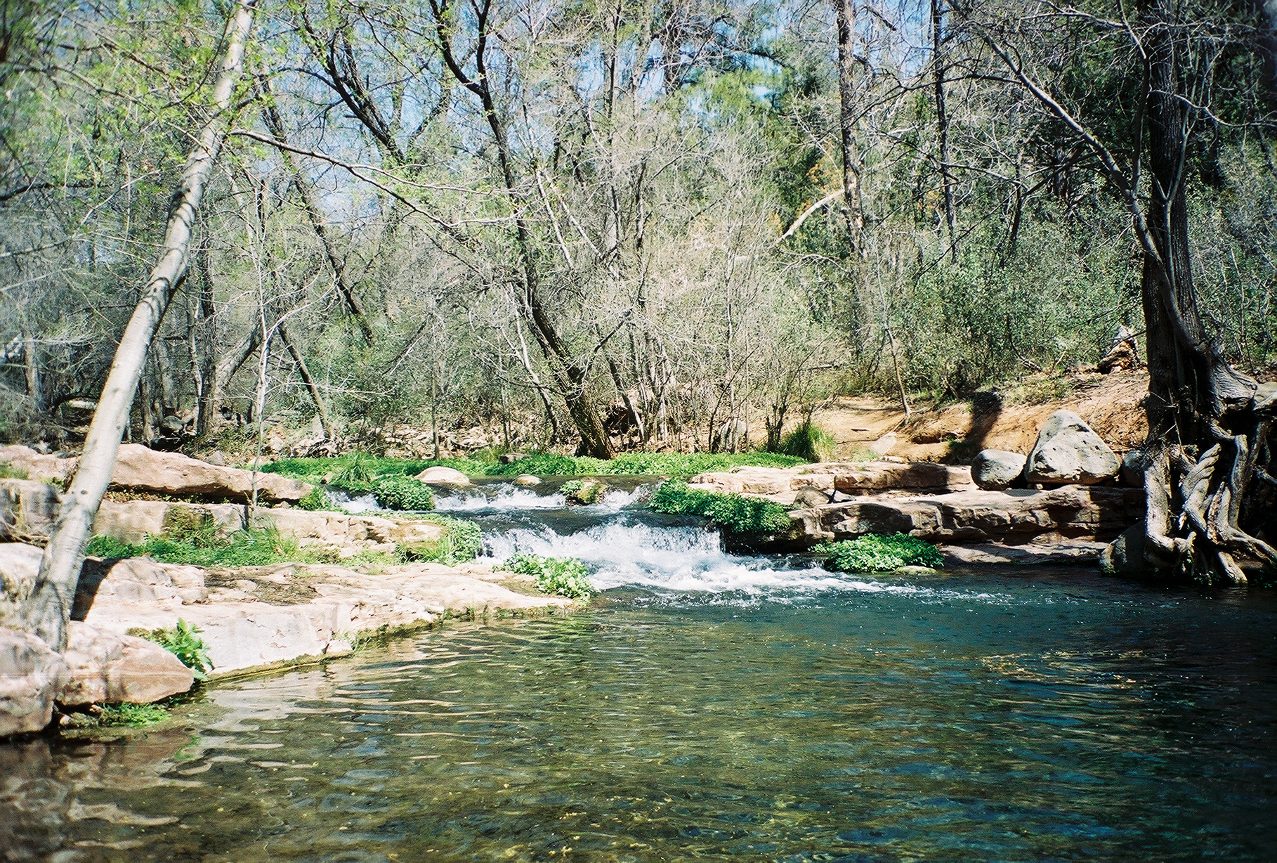 Fossil CreekCanoeingPhoto: Gonzo fan2007, CC BY-SA 3.0 (via Wikimedia Commons)9.4 mi
- Long ValleyCamping9.9 mi
Source: Roamze catalog (indexable pages within 10 miles, PostGIS distance)
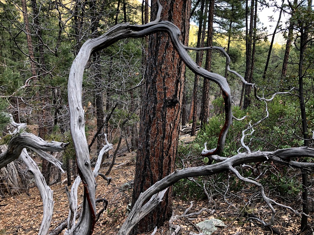 MohawkHiking · ~5 min drivePhoto: cogdogblog, Public Domain Dedication (CC0) (via Flickr)
- DonahueHiking · ~7 min drivePhoto: Coconino National Forest, CC BY-SA 2.0 (via Wikimedia Commons)
 PineHiking · ~7 min drivePhoto: cogdogblog, CC BY 2.0 (via Flickr)
- Highline Trail #31Hiking · ~7 min drive
 Pine ViewHiking · ~7 min drivePhoto: cogdogblog, Public Domain Dedication (CC0) (via Flickr)
 Arizona TrailHiking · ~21 min drivePhoto: Coconino NF Photography, Public Domain Dedication (CC0) (via Flickr)
- Turkey SpringsHiking · ~8 min drivePhoto: Coconino National Forest, CC BY-SA 2.0 (via Wikimedia Commons)
- Arizona TrailHiking · ~25 min drive
- Pine View Trail #28Hiking · ~7 min drivePhoto: cogdogblog, Public Domain Dedication (CC0) (via Flickr)
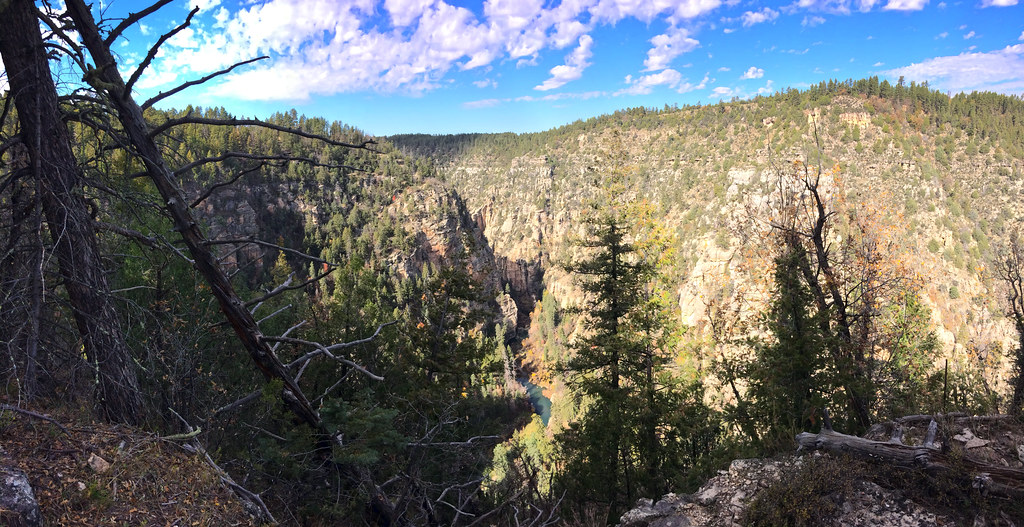 TramwayHiking · ~16 min drivePhoto: Coconino NF Photography, CC BY-SA 2.0 (via Flickr)
Also worth it near here
- Good EnoughMountain biking · ~5 min drivePhoto: Coconino National Forest, CC BY-SA 2.0 (via Wikimedia Commons)
 Strawberry MountainSummit · ~6 min drivePhoto: Cogdog, CC BY-SA 3.0 (via Wikimedia Commons)
- Sharp Creek GroupCamping · ~7 min drive
 Tonto Natural BridgeNatural arch · ~13 min drivePhoto: Rednelson, CC BY-SA 3.0 (via Wikimedia Commons)
Best time to visit Rock Wall Trail #608
Best months: May–October. Best months have typical highs of 55–85 °F, lows of 30 °F or warmer (32 °F where the station doesn't record snow), at most one snowy day and no more than 12 wet days.
Jan
45° / 17°
Feb
49° / 20°
Mar
55° / 25°
Apr
61° / 30°
May
70° / 38°
Jun
80° / 47°
Jul
83° / 55°
Aug
81° / 53°
Sep
76° / 46°
Oct
67° / 34°
Nov
55° / 24°
Dec
45° / 17°
Typical high / low (°F) and days with rain or snow, 1991–2020. Measured at Blue Ridge Rs, AZ, 19.9 mi away at 6,880 ft. This station doesn't record snowfall. Source: NOAA NCEI U.S. Climate Normals 1991–2020.
Map and trail data © OpenStreetMap contributors
