Pine
 Photo: cogdogblog, CC BY 2.0 (via Flickr)
- 6.7 mi
- round trip
- 331 ft
- climb
- 6,025 ft
- high point
- Out and back
- route
- Feb–May, Sep–Nov
- best months
Is Pine open right now?
Closure in the area
There's a closure order in Payson Ranger District. It doesn't name Pine, so check the source for the area it covers.
State Route 260 Lion Springs Construction Site Public Health and Safety Closure Order
Agency closure covering Payson Ranger District · Order 03-12-04-26-25 · USFS · Payson Ranger District
Emergency Closure of Water Wheel Recreation Sites for Public Safety
Agency alert covering Payson Ranger District · Order 03-12-04-26-34 · USFS · Payson Ranger District
Canyon Lake Drawdown Public Safety Closure
Agency alert covering Tonto National Forest · Order 03-12-00-26-22 · USFS · Tonto National Forest
No Fire Restrictions
Agency alert covering Tonto National Forest · USFS · Tonto National Forest
Roosevelt Lake Seasonal Wildlife Closure
Agency alert covering Tonto National Forest · Order 12-16-5 · USFS · Tonto National Forest
As of · Source: USFS · Payson Ranger District. Agencies don't list every closure — check before you go.
Pine is a hard hike in the Payson Ranger District of Tonto National Forest in Arizona, about 6.6 miles from the Forest Service's mapped route. The trail is an out-and-back, roughly 6.7 miles long, with a one-way climb of about 330 feet from a low point of 5,694 feet to a high of 6,025 feet. Bikes are allowed, and the surface is natural. Spring and fall are the most comfortable times to go. Typical averages from a nearby weather station show May highs around 79°F and October highs around 74°F, while July averages about 91°F. That station sits well below the trail, so temperatures on the route run cooler. Walnut is just 0.3 miles away, and Mohawk and the General Cook Trail are both within about 1.6 miles. Sharp Creek Group campground is about 2.3 miles off.
Local outfitters
- Camp Avalon Spiritual Nature Retreat36 mi away
- Rancho Sedona RV Park38 mi away
Not on Roamze yet. Their page has how to reach them.
Best time to go · Feb–May, Sep–Nov
Best time to visit Pine
Best months: February–May and September–November. Best months have typical highs of 55–85 °F, lows of 30 °F or warmer (32 °F where the station doesn't record snow), at most one snowy day and no more than 12 wet days.
Jan
54° / 30°
Feb
57° / 32°
Mar
64° / 36°
Apr
70° / 41°
May
79° / 48°
Jun
88° / 58°
Jul
91° / 65°
Aug
89° / 62°
Sep
84° / 57°
Oct
74° / 46°
Nov
63° / 36°
Dec
53° / 30°
Typical high / low (°F) and days with rain or snow, 1991–2020. Measured at Natural Brg, AZ, 3.8 mi away at 4,608 ft. The station sits about 1,400 ft lower than this place, so expect it a little cooler here. This station doesn't record snowfall. Source: NOAA NCEI U.S. Climate Normals 1991–2020.
Keep exploring — more trails worth the drive
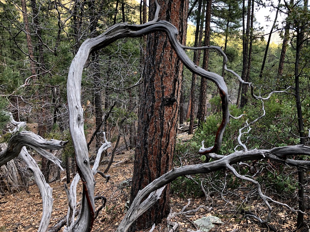 Photo: cogdogblog, Public Domain Dedication (CC0) (via Flickr)
Mohawk
~2 min drive
0.64-mile out-and-back trail in Arizona with 93 ft of elevation gain.
 Photo: Coconino National Forest, CC BY-SA 2.0 (via Wikimedia Commons)
Donahue
~8 min drive
3.80-mile out-and-back trail in Arizona with 3,140 ft gain
 Photo: USDAgov, Public Domain Mark (via Flickr)
Bob Bear
~9 min drive
6.20-mile out-and-back trail in Arizona with 600 ft gain and 1,922 ft loss.
HIKE
Arizona Trail
~18 min drive
A 15.23-mile out-and-back trail in Arizona that connects to Passage 42, ideal for a full-day hiking adventure.
 Photo: cogdogblog, Public Domain Dedication (CC0) (via Flickr)
Pine View
~5 min drive
Pine View is a 1.28-mile out-and-back trail in Arizona with 3 feet of elevation gain.
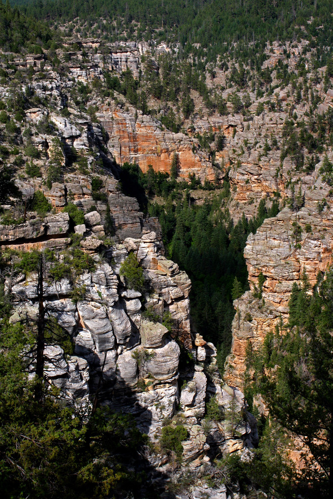 Photo: Coconino NF Photography, CC BY-SA 2.0 (via Flickr)
Maxwell
~23 min drive
1.29-mile out-and-back trail in Arizona with 414 ft gain.
Photo: Coconino National Forest, CC BY-SA 2.0 (via Wikimedia Commons)Turkey Springs
~11 min drive
6.20-mile out-and-back trail in Arizona with 1,681 ft elevation gain.
HIKE
Highline Trail #31
~5 min drive
A moderate 20.10-mile out-and-back trail in Arizona for experienced day hikers.
 Photo: Coconino NF Photography, CC BY-SA 2.0 (via Flickr)
Redrock
~9 min drive
1.84-mile out-and-back trail in Arizona with 616 ft elevation gain.
 Photo: Coconino NF Photography, Public Domain Dedication (CC0) (via Flickr)
Arizona Trail
~25 min drive
A 2.44-mile out-and-back trail in Arizona connected to Passage 42 of the Arizona Trail system.
Also worth it near here


