Robiinson Hollow Trail
- 4.3 mi
- round trip
- 411 ft
- climb
- 7,705 ft
- high point
- Out and back
- route
- May–Oct
- best months
Robiinson Hollow Trail is an easy out-and-back hike in eastern Arizona, set on State Trust Land managed by the State Department of Land. The trail is about 4.3 miles long, with a one-way elevation gain of 411 feet, and it rises from a low point of about 7,312 feet to a high of about 7,705 feet. Spring is the most comfortable time to go. Typical averages from the nearby Springerville weather station show April highs around 68°F and lows near 29°F, while July and August bring highs of about 85°F and roughly 12 wet days a month. That station sits about 700 feet lower than the trail's high point, so temperatures on the trail run a little cooler. The trail is open to both horses and bikes, so it works for riders and equestrians as well as hikers. Flat Top lies just 0.1 mile away, and the Summit hike is about 0.7 mile off. Mountain bikers can head to the Robinson Hollow trail, about 0.8 mile away, and the Homestead hike is roughly 1.8 miles from the trail.
Local outfitters
- Alpine Village RV Park19 mi away
Not on Roamze yet. Their page has how to reach them.
Best time to go · May–Oct
Best time to visit Robiinson Hollow Trail
Best months: May–October. Best months have typical highs of 55–85 °F, lows of 30 °F or warmer (32 °F where the station doesn't record snow), at most one snowy day and no more than 12 wet days.
Jan
50° / 16°
4 wet
Feb
54° / 19°
4 wet
Mar
61° / 23°
4 wet
Apr
68° / 29°
3 wet
May
76° / 36°
3 wet
Jun
85° / 44°
4 wet
Jul
85° / 52°
12 wet
Aug
83° / 51°
12 wet
Sep
79° / 43°
7 wet
Oct
70° / 32°
4 wet
Nov
60° / 22°
3 wet
Dec
50° / 16°
4 wet
Typical high / low (°F) and days with rain or snow, 1991–2020. Measured at Springerville, AZ, 2.9 mi away at 6,998 ft. The station sits about 700 ft lower than this place, so expect it a little cooler here. This station doesn't record snowfall. Source: NOAA NCEI U.S. Climate Normals 1991–2020.
Keep exploring — more trails worth the drive
 Photo: Clay Gilliland, CC BY-SA 2.0 (via Flickr)
Overland Connector
~8 min drive
0.7-mile out-and-back trail in Arizona with 48 ft of elevation gain.
Photo: Clay Gilliland, CC BY-SA 2.0 (via Flickr)Apache Vista
~8 min drive
2.52-mile loop trail in Arizona with 74 ft of elevation gain.
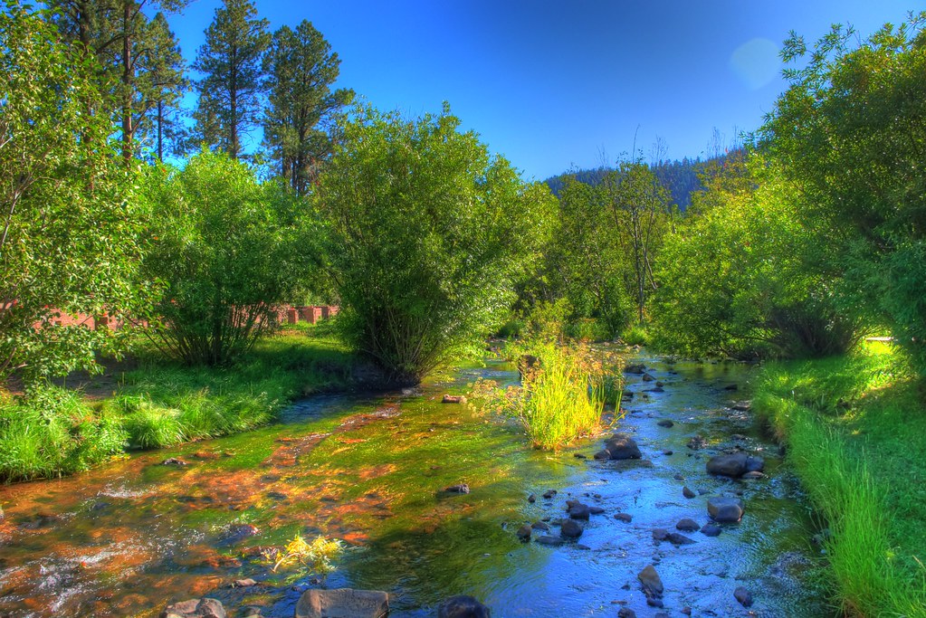 Photo: neepster, CC BY-SA 2.0 (via Flickr)
East Fork
~21 min drive
East Fork is a 15-mile out-and-back trail in Arizona with 955 ft of elevation gain.
Photo: Clay Gilliland, CC BY-SA 2.0 (via Flickr)South Fork
~10 min drive
South Fork is an 11.98-mile out-and-back trail in Arizona with 95 feet of elevation gain.
 Photo: WaterArchives.org from Sacramento, California, USA, CC BY-SA 2.0 (via Wikimedia Commons)
Pinyon
~18 min drive
4.70-mile out-and-back trail in Arizona with 713 ft of elevation gain.
HIKE
Flat Top
Next door
7.01-mile out-and-back trail in Arizona with 380 ft of elevation gain.
 Photo: Clay Gilliland, CC BY-SA 2.0 (via Flickr)
West Fork (Lc)
~26 min drive
10.72-mile out-and-back trail in Arizona with 40 ft elevation gain.
 Photo: Chris M Morris, CC BY 2.0 (via Wikimedia Commons)
Terry Flat
~26 min drive
5.90-mile loop trail in Arizona with 355 ft elevation gain.
HIKE
Overland Trail #615
~26 min drive
37.29-mile out-and-back trail in Arizona with 622 ft elevation gain.
HIKE
Summit
~1 min drive
1.78-mile out-and-back trail in Arizona with 321 ft gain.
Map and trail data © OpenStreetMap contributors
