Barnett Camp
Campground
Campground · 7.2 mi from the trail
Alert in the area
The Forest Service lists 5 alerts for Tonto National Forest.
Rattlesnake Cove Developed Recreation Site - Post Flood Recovery and Public Safety Closure
Agency alert covering Tonto National Forest · Order 3-12-01-26-36 · USFS · Tonto National Forest
Canyon Lake Drawdown Public Safety Closure
Agency alert covering Tonto National Forest · Order 03-12-00-26-22 · USFS · Tonto National Forest
No Fire Restrictions
Agency alert covering Tonto National Forest · USFS · Tonto National Forest
Lower Salt River Seasonal Bald Eagle Closures
Agency alert covering Mesa Ranger District · Order 03-12-03-24-65 · USFS · Mesa Ranger District
Roosevelt Lake Seasonal Wildlife Closure
Agency alert covering Tonto National Forest · Order 12-16-5 · USFS · Tonto National Forest
As of · Source: USFS · Tonto National Forest. Agencies don't list every closure — check before you go.
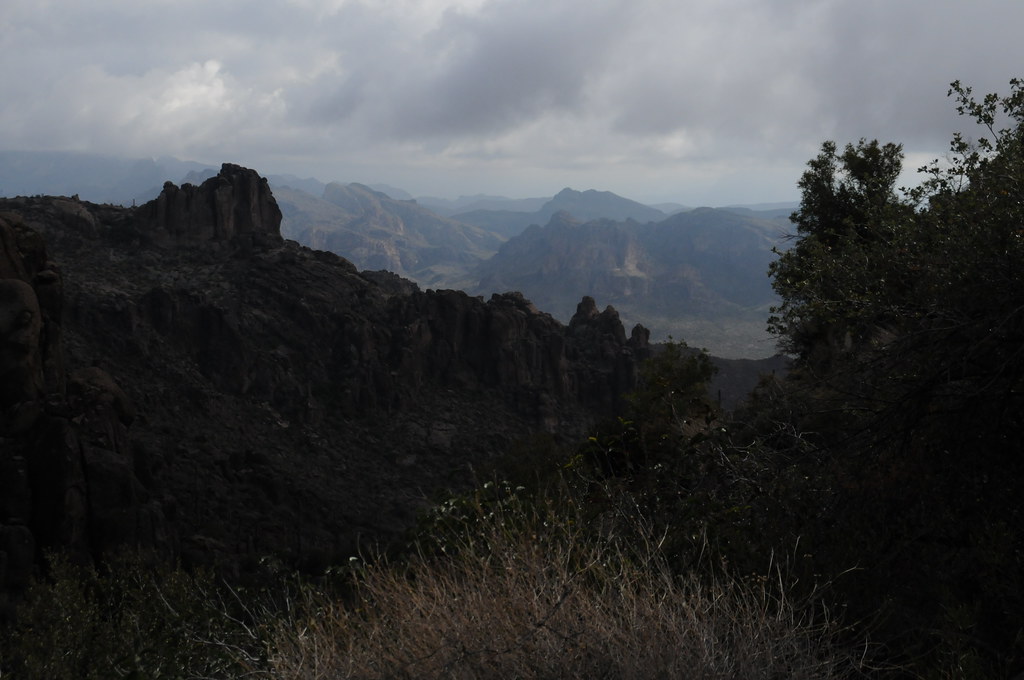
Reavis Ranch Trail #109 is a hard hike in Arizona's Tonto National Forest, on the Mesa Ranger District, about 7 miles from the town of Mesa. It's an out-and-back route that runs roughly 14.5 miles round trip, from a low point of 4,371 feet to a high of 5,329 feet, with an elevation gain of about 950 feet one way. The Arizona Trail passes just 0.4 miles away, and the Reavis Ranch Trail lies about 1.4 miles off. Spencer and Millsite are both within a few miles. For climbers, the Great Leaders of the World Wall is about 6 miles away.
Barnett Camp
Campground
Porter's Saloon & Grill
Bar and grill restaurant
Celia Blaylock aka Mattie Earp Grave Site
Attraction
Places © OpenStreetMap contributors, Places © Overture Maps Foundation
More in SuperiorNot on Roamze yet. Their page has how to reach them.
 NorthwestRock climbingPhoto: Alan English CPA from Scottsdale, Arizona 85254, USA, CC BY-SA 2.0 (via Wikimedia Commons)8.6 mi
 SoutheastRock climbingPhoto: David Taylor from Coeur d Alene, United States, CC BY 2.0 (via Wikimedia Commons)8.6 miLower East WallRock climbingPhoto: David Taylor from Coeur d Alene, United States, CC BY 2.0 (via Wikimedia Commons)8.6 mi
Source: Roamze catalog (indexable pages within 10 miles, PostGIS distance)
 Legends of Superior TrailHiking · ~17 min drivePhoto: CWanamaker, CC BY 3.0 (via Wikimedia Commons)
 Legends of Superior TrailHiking · ~17 min drivePhoto: William Herron, CC BY-SA 2.0 (via Flickr)
 Peralta Trail #102Hiking · ~18 min drivePhoto: HockeyholicAZ, CC BY 2.0 (via Flickr)Cave Trail #233Hiking · ~17 min drivePhoto: HockeyholicAZ, CC BY 2.0 (via Flickr)
 Carney Springs TrailHiking · ~20 min drivePhoto: lamblukas, CC BY 2.0 (via Flickr)
 Terrapin Trail #234Hiking · ~18 min drivePhoto: HockeyholicAZ, CC BY 2.0 (via Flickr)
Map and trail data © OpenStreetMap contributors
