Prospector Loop
- 1.8 mi
- loop
- 1,244 ft
- climb
- 2,348 ft
- high point
- Loop
- route
- Nov–Mar
- best months
Prospector Loop is a 1.8-mile moderate hike in Phoenix South Mountain Park, on city land in Phoenix, Arizona. The trail rises from about 1,410 feet to about 2,348 feet, with a total elevation gain of 1,244 feet. The steepest stretch comes at about 1.1 miles in, where the grade reaches 39 percent. Winter and early spring are the most comfortable times to go. Typical averages from a nearby weather station show January highs around 67°F and lows near 43°F, while summer highs climb into the mid-100s. That station sits well below the trail, so temperatures on the loop run cooler. Several other hikes start close by, including Cholla Flats Loop, Upper Gila Trail and Bursera Canyon, each about 0.4 miles away. Climbers can head to the South Mountain climbing area, about 2.6 miles off.
Local outfitters
- VIP RV Resort32 mi away
- Arizona Desert Mountain Jeep Tours38 mi away
Not on Roamze yet. Their page has how to reach them.
- Cholla Flats LoopHiking0.4 mi
- Upper Gila TrailHiking0.4 mi
- Bursera CanyonHiking0.4 mi
- Pyramid TrailHiking0.6 mi
- GremlinsRock climbing2.6 mi
- South MountainRock climbing2.6 mi
- Wildlife Canyon (Closures in Effect)Rock climbing2.6 mi
- Santa Cruz WashCanoeing8.1 mi
Source: Roamze catalog (indexable pages within 10 miles, PostGIS distance)
 Ranger TrailHiking · ~2 min drivePhoto: squeaks2569, CC BY-SA 2.0 (via Flickr)
- Bajada TrailHiking · ~3 min drivePhoto: squeaks2569, CC BY-SA 2.0 (via Flickr)
- Bajada TrailHiking · ~3 min drivePhoto: squeaks2569, CC BY-SA 2.0 (via Flickr)
- Ma-Ha-Tuak Perimeter TrailHiking · ~5 min drive
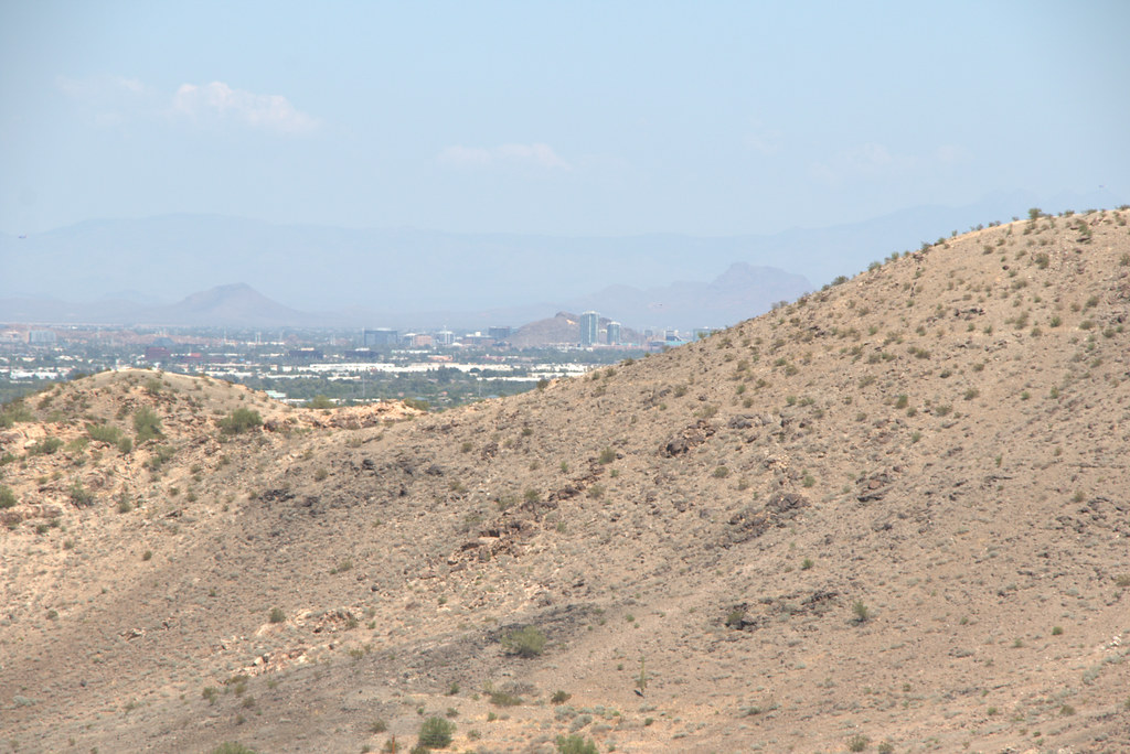 Max Delta TrailHiking · ~3 min drivePhoto: Ktr101, CC BY-SA 2.0 (via Flickr)
- Hau'pal Loop TrailHiking · ~4 min drivePhoto: Ktr101, CC BY-SA 2.0 (via Flickr)
- National TrailHiking · ~5 min drive
- T-Bone TrailHiking · ~4 min drivePhoto: Ktr101, CC BY-SA 2.0 (via Flickr)
 Holbert TrailHiking · ~6 min drivePhoto: Mountain Mike Johans…, CC BY 3.0 (via Wikimedia Commons)
- Alta TrailHiking · ~5 min drive
Best time to visit Prospector Loop
Best months: November–March. Best months have typical highs of 55–85 °F, lows of 30 °F or warmer (32 °F where the station doesn't record snow), at most one snowy day and no more than 12 wet days.
Jan
67° / 43°
3 wet
Feb
71° / 45°
3 wet
Mar
79° / 51°
2 wet
Apr
87° / 56°
1 wet
May
96° / 66°
1 wet
Jun
106° / 75°
1 wet
Jul
107° / 81°
2 wet
Aug
106° / 81°
3 wet
Sep
101° / 74°
2 wet
Oct
89° / 61°
2 wet
Nov
76° / 50°
2 wet
Dec
66° / 42°
3 wet
Typical high / low (°F) and days with rain or snow, 1991–2020. Measured at Laveen 3 Sse, AZ, 3.3 mi away at 1,135 ft. The station sits about 1,200 ft lower than this place, so expect it a little cooler here. Source: NOAA NCEI U.S. Climate Normals 1991–2020.
Map and trail data © OpenStreetMap contributors
