Ma-Ha-Tuak Perimeter Trail
- 7.1 mi
- round trip
- 3,288 ft
- climb
- 1,689 ft
- high point
- Out and back
- route
- Nov–Mar
- best months
The Ma-Ha-Tuak Perimeter Trail is a hard hike in Phoenix South Mountain Park, on city land in Phoenix, Arizona. The route is an out-and-back that covers about 14 miles round trip, with a total elevation gain of about 3,300 feet. The trail starts at roughly 1,268 feet and reaches a high point of about 1,689 feet. The climb is steady, and the steepest stretch comes at about 1.6 miles in, where the grade reaches about 24%. Winter and early spring are the most comfortable times to go. Typical averages from a nearby weather station show January highs around 67°F and lows near 43°F, while summer highs climb into the mid-100s. That station sits about 550 feet lower than the trail's high point, so temperatures on the higher ground run cooler. The Alta Trail and the National Trail both lie about a mile away, and the Lost Ranch Trail is about 2 miles off. Climbers can find the South Mountain climbing area about 3.4 miles away.
Local outfitters
- VIP RV Resort33 mi away
- Arizona Desert Mountain Jeep Tours38 mi away
Not on Roamze yet. Their page has how to reach them.
- Alta TrailHiking0.9 mi
- National TrailHiking0.9 mi
- Lost Ranch TrailHiking1.9 mi
- Southern Hills Walking PathHiking2 mi
- GremlinsRock climbing3.4 mi
- South MountainRock climbing3.4 mi
- Wildlife Canyon (Closures in Effect)Rock climbing3.4 mi
- South Mountain Tower (Closures in Effect)Rock climbing3.4 mi
Source: Roamze catalog (indexable pages within 10 miles, PostGIS distance)
 Bajada TrailHiking · ~4 min drivePhoto: squeaks2569, CC BY-SA 2.0 (via Flickr)
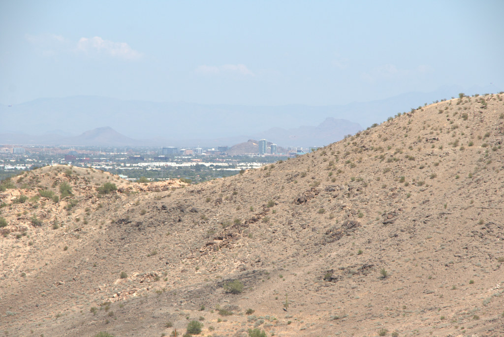 Hau'pal Loop TrailHiking · ~4 min drivePhoto: Ktr101, CC BY-SA 2.0 (via Flickr)
- Ranger TrailHiking · ~5 min drivePhoto: squeaks2569, CC BY-SA 2.0 (via Flickr)
- Max Delta TrailHiking · ~4 min drivePhoto: Ktr101, CC BY-SA 2.0 (via Flickr)
- Bajada TrailHiking · ~5 min drivePhoto: squeaks2569, CC BY-SA 2.0 (via Flickr)
- Alta TrailHiking · ~1 min drive
- T-Bone TrailHiking · ~4 min drivePhoto: Ktr101, CC BY-SA 2.0 (via Flickr)
 Holbert TrailHiking · ~8 min drivePhoto: Mountain Mike Johans…, CC BY 3.0 (via Wikimedia Commons)
- National TrailHiking · ~1 min drive
 Corona de Loma TrailHiking · ~9 min drivePhoto: Mountain Mike Johans…, CC BY 3.0 (via Wikimedia Commons)
Best time to visit Ma-Ha-Tuak Perimeter Trail
Best months: November–March. Best months have typical highs of 55–85 °F, lows of 30 °F or warmer (32 °F where the station doesn't record snow), at most one snowy day and no more than 12 wet days.
Jan
67° / 43°
3 wet
Feb
71° / 45°
3 wet
Mar
79° / 51°
2 wet
Apr
87° / 56°
1 wet
May
96° / 66°
1 wet
Jun
106° / 75°
1 wet
Jul
107° / 81°
2 wet
Aug
106° / 81°
3 wet
Sep
101° / 74°
2 wet
Oct
89° / 61°
2 wet
Nov
76° / 50°
2 wet
Dec
66° / 42°
3 wet
Typical high / low (°F) and days with rain or snow, 1991–2020. Measured at Laveen 3 Sse, AZ, 0.8 mi away at 1,135 ft. The station sits about 600 ft lower than this place, so expect it a little cooler here. Source: NOAA NCEI U.S. Climate Normals 1991–2020.

Map and trail data © OpenStreetMap contributors
