

Arizona Desert Mountain Jeep Tours
Hiking business nearby (~13 mi away) — hasn't claimed their Roamze page yet
Free — you'll pick up right here.
Watch this trail
Sign up to watch it — saving subscribes you to gate, closure and report changes.
Arizona
2.5 mi
Distance
494 ft
Gain
1h 5m
Time
An agency closure order is in effect for this area; weather is good
2 factors · 2 sources
Newest 14 h ago · oldest 25 d
problem: Agency alerts
10 active alerts in Tonto National Forest; most severe: Canyon Lake Drawdown Public Safety Closure
USFS25 d ago
clear: Weather
Clear, high 86°F / low 84°F, 0% precip — 91/100 for hike
OpenWeather14 h ago
Been out here in the last few days? One report keeps this current for everyone.
Why you'll love it
Pine Creek Loop
AI-suggested draft · review before you go
No permit or access details on file for this trail — check with the local land manager before you go.
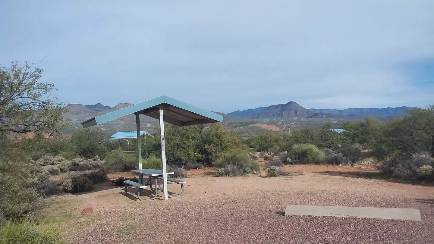
Pine Creek Loop is a 2.5-mile loop trail located in Arizona. The route features 494 feet of elevation gain, making it a moderately accessible hike suitable for various skill levels. The loop format allows hikers to complete the trail as a circuit without retracing their steps. The trail's relatively short distance and moderate elevation gain make it an ideal option for a half-day outing or for those looking for a less strenuous hiking experience. The looped design provides variety in scenery as you progress around the route. This Arizona trail offers a convenient hiking option for those seeking outdoor recreation in the region. Whether you're a local resident or visiting the area, Pine Creek Loop provides an opportunity to explore Arizona's natural landscape without requiring a significant time commitment or advanced hiking experience.
Ballantine
~2 min drive
20 mi · Hard
Four Peaks-El Oso
~15 min drive
1.02-mile out-and-back trail in Arizona with 245 ft elevation gain.
Jojoba
~17 min drive
2.4 mi · Easy
Browns
~17 min drive
3.6 mi · Moderate
Edward's Park
~12 min drive
A hard, rocky 9.05-mile out-and-back trail in Arizona connecting to Four Peaks, ideal for experienced hikers.
Pigeon Spring Road
~16 min drive
A brief 0.85-mile out-and-back gravel trail in Arizona that links to the Arizona Trail system.
Lower Soldier
~17 min drive
4.6 mi · Easy
Cane Spring
~19 min drive
4.3 mi · Moderate
Sycamore
~14 min drive
12 mi · Hard
Arizona Trail
~17 min drive
An 18.57-mile out-and-back trail in Arizona that connects to Passage 42, offering flexible hiking options for various experience levels.
Local operatorsoffering guided trips. You book directly with them — Roamze doesn’t take a cut.
Arizona Desert Mountain Jeep Tours
Hiking business nearby (~13 mi away) — hasn't claimed their Roamze page yet
VIP RV Resort
Hiking business nearby (~25 mi away) — hasn't claimed their Roamze page yet
Black Canyon Campground
Hiking business nearby (~42 mi away) — hasn't claimed their Roamze page yet