

Village Camp
Hiking business nearby (~16 mi away) — hasn't claimed their Roamze page yet
Free — you'll pick up right here.
Watch this trail
Sign up to watch it — saving subscribes you to gate, closure and report changes.
Arizona
1.6 mi
Distance
112 ft
Gain
36 min
Time
We won't guess. Here is exactly what we do and don't know.
What we do know
Inside Kaibab National Forest
2 managing-area boundaries mapped — agency alerts for them feed this page automatically.
Boundary data
What's missing
No access route mapped
We don't yet know which road reaches this trailhead, so we can't tell you if it's gated.
Nobody's filed a report here yet — be the first.
Why you'll love it
Perkins Tank Trail
AI-suggested draft · review before you go
No permit or access details on file for this trail — check with the local land manager before you go.
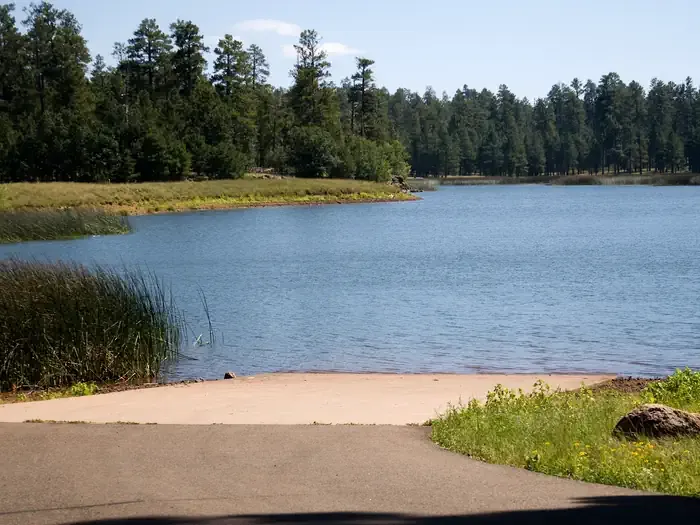
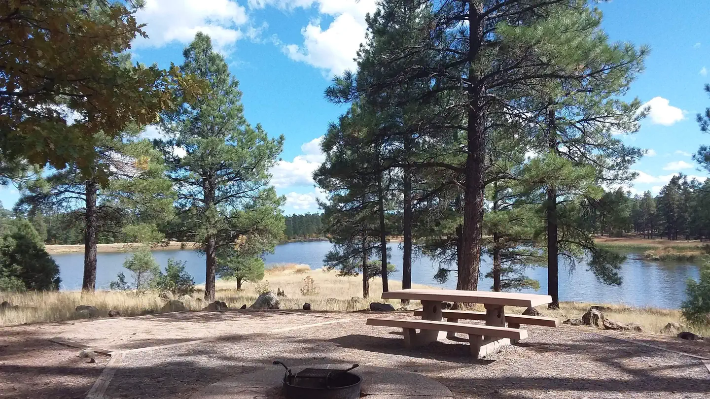
Perkins Tank Trail is a short out-and-back hike located in Arizona, covering 1.6 miles with 112 feet of elevation gain. This trail offers an accessible option for hikers seeking a quick outdoor excursion in the Arizona landscape. The modest elevation gain makes it suitable for a wide range of fitness levels, from beginners to experienced hikers looking for an easy walk. The out-and-back format allows hikers to turn around at their preferred point, providing flexibility for those with varying time constraints or endurance levels. The destination, Perkins Tank, serves as the trail's focal point, though specific details about the tank's features and water conditions should be confirmed before your visit, as seasonal variations may affect what you encounter. With its short distance and minimal elevation change, this trail works well as a warm-up hike, a family-friendly outing, or a quick nature walk. Check current conditions and any access restrictions before heading out to ensure the best experience possible.
Sunflower Flat Mtn. Bike
~3 min drive
28 mi · Hard
Whitehorse
~5 min drive
2.3 mi · Easy
Davenport Hill
~13 min drive
5.5 mi · Moderate
Sycamore Rim
~5 min drive
11 mi · Hard
Canyon Overlook Trail
~6 min drive
2.1 mi · Easy
Kelsey Spring #3
~14 min drive
5.1 mi · Moderate
Deadman
~15 min drive
3.2 mi · Hard
Summit Mountain
~6 min drive
2.2 mi · Easy
Winter Cabin #70
~15 min drive
8.5 mi · Moderate
Secret
~17 min drive
2.6 mi · Hard
Local operatorsoffering guided trips. You book directly with them — Roamze doesn’t take a cut.
Village Camp
Hiking business nearby (~16 mi away) — hasn't claimed their Roamze page yet
Canyon Outfitters Sedona
Hiking business nearby (~23 mi away) — hasn't claimed their Roamze page yet
Four Season Guides
Hiking business nearby (~24 mi away) — hasn't claimed their Roamze page yet