North Lahpai Trail
- 0.4 mi
- distance
- 1 ft
- climb
- 1,202 ft
- high point
- Lollipop
- route
- Nov–Mar
- best months
North Lahpai Trail is a short, easy hike in Arizona, about 1.5 miles from the town of Heaton. The route is just 0.37 miles long, and the climb is almost imperceptible: the trail rises from 1,201 feet to 1,202 feet, a total gain of just 1 foot. That makes it a quick stop for anyone passing through the area, a walk that can be done in about half an hour. The most comfortable months for a visit are typically November and March, when typical averages from a nearby weather station run from highs around 78°F to 80°F and lows in the mid-40s. Summer is far hotter, with typical July highs near 109°F. Nearby, North Deer Trail lies about 4.7 miles away, and Pacana Pond Loop is about 7.2 miles off. Paddlers can head to Santa Cruz Wash, roughly 9.5 miles away, and the Historic Butterfield Stage Trail is about 9.7 miles from the trail.
Local outfitters
- VIP RV Resort41 mi away
Not on Roamze yet. Their page has how to reach them.
- North Deer TrailHiking4.7 mi
- Pacana Pond LoopHiking7.2 mi
- Santa Cruz WashCanoeing9.5 mi
- Historic Butterfield Stage TrailHiking9.7 mi
Source: Roamze catalog (indexable pages within 10 miles, PostGIS distance)
 Wild Horse Pass Walking / Jogging TrailHiking · ~30 min drivePhoto: P_R_F, CC BY 2.0 (via Flickr)
 Ranger TrailHiking · ~32 min drivePhoto: squeaks2569, CC BY-SA 2.0 (via Flickr)
- Bajada TrailHiking · ~33 min drivePhoto: squeaks2569, CC BY-SA 2.0 (via Flickr)
- Wild Horse Pass Walking / Jogging TrailHiking · ~30 min drivePhoto: P_R_F, CC BY 2.0 (via Flickr)
- Quartz Peak TrailHiking · ~21 min drive
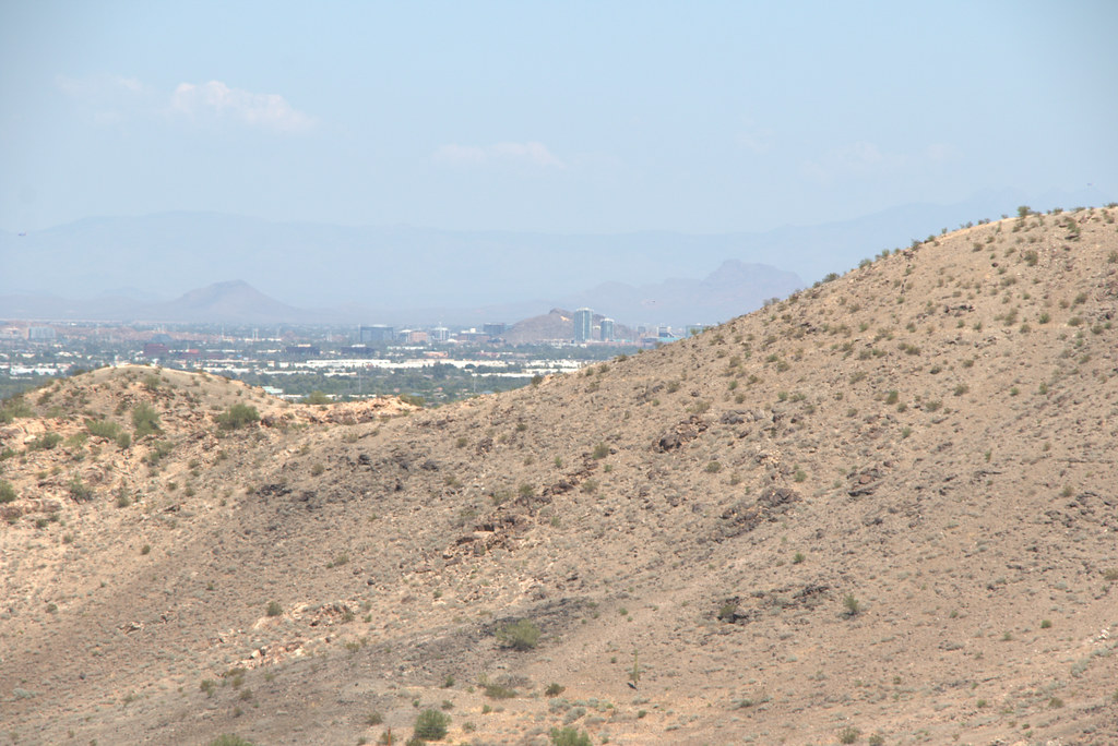 Hau'pal Loop TrailHiking · ~34 min drivePhoto: Ktr101, CC BY-SA 2.0 (via Flickr)
 Skylark TrailHiking · ~32 min drivePhoto: A Guy Named Nyal, CC BY-SA 2.0 (via Flickr)
- Hayes Peak TrailHiking · ~28 min drive
- Bursera TrailHiking · ~29 min drive
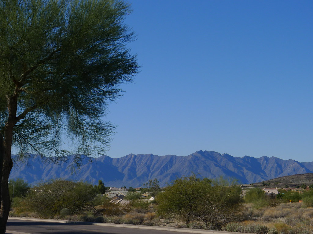 Degoba LoopHiking · ~32 min drivePhoto: chipmunk_1, CC BY-SA 2.0 (via Flickr)
Best time to visit North Lahpai Trail
Best months: November–March. Best months have typical highs of 55–85 °F, lows of 30 °F or warmer (32 °F where the station doesn't record snow), at most one snowy day and no more than 12 wet days.
Jan
69° / 37°
4 wet
Feb
73° / 40°
4 wet
Mar
80° / 45°
3 wet
Apr
88° / 51°
1 wet
May
97° / 59°
1 wet
Jun
107° / 69°
1 wet
Jul
109° / 78°
3 wet
Aug
107° / 77°
4 wet
Sep
102° / 69°
3 wet
Oct
91° / 55°
2 wet
Nov
78° / 43°
2 wet
Dec
67° / 35°
4 wet
Typical high / low (°F) and days with rain or snow, 1991–2020. Measured at Maricopa 4 N, AZ, 7.4 mi away at 1,160 ft. Source: NOAA NCEI U.S. Climate Normals 1991–2020.

Map and trail data © OpenStreetMap contributors
