Historic Butterfield Stage Trail
- 2.0 mi
- round trip
- 35 ft
- climb
- 1,313 ft
- high point
- Out and back
- route
- Nov–Mar
- best months
The Historic Butterfield Stage Trail is a short, easy hike on Bureau of Land Management land in Arizona, within the Lower Sonoran Field Office. It is an out-and-back route of about 4 miles, with a total elevation gain and loss of about 35 feet each way, so the trail stays nearly flat from start to finish. The trail begins and ends at roughly 1,313 feet, with the high point at 1,313 feet and the low point at 1,290 feet. That makes it an easy option for a quick walk rather than a climb, and the estimated time is about 1.5 hours. Winter and early spring are the most comfortable times to go. Typical averages from a nearby weather station in Maricopa show January highs around 69°F and lows near 37°F, while summer highs climb into the 100s from June through September. That station sits a few hundred feet lower than the trail, so temperatures on the trail run a bit cooler. For another outing, the North Lahpai Trail lies about 10 miles away.
Local outfitters
- Saddle Mountain RV Park46 mi away
- VIP RV Resort49 mi away
Not on Roamze yet. Their page has how to reach them.
Source: Roamze catalog (indexable pages within 10 miles, PostGIS distance)
 Bajada TrailHiking · ~37 min drivePhoto: squeaks2569, CC BY-SA 2.0 (via Flickr)
- Ranger TrailHiking · ~37 min drivePhoto: squeaks2569, CC BY-SA 2.0 (via Flickr)
- Bajada TrailHiking · ~38 min drivePhoto: squeaks2569, CC BY-SA 2.0 (via Flickr)
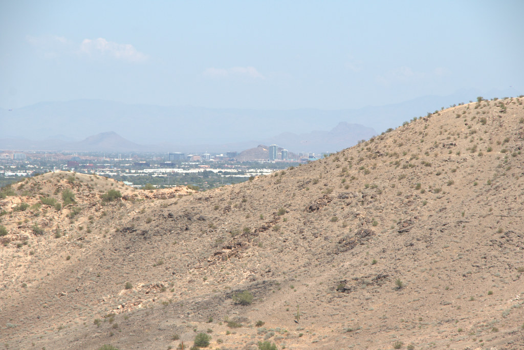 Max Delta TrailHiking · ~38 min drivePhoto: Ktr101, CC BY-SA 2.0 (via Flickr)
- Quartz Peak TrailHiking · ~19 min drive
- Historic Butterfield Stage TrailHiking · ~20 min drive
- North Lahpai TrailHiking · ~17 min drive
- Margies Cove TrailHiking · ~20 min drive
- Pedersen TrailHiking · ~28 min drive
- North Deer TrailHiking · ~19 min drive
Also worth it near here
 Gila RiverCanoeing · ~10 min drivePhoto: benmacaskill, CC BY 2.0 (via Wikimedia Commons)
- South Maricopa Mountains Wilderness AreaLake fishing · ~19 min drive
- Margies Cove West CampgroundCamping · ~28 min drive
 Isanaklesh PeaksSummit · ~31 min drivePhoto: Unknown authorUnknown author, Public domain (via Wikimedia Commons)
Best time to visit Historic Butterfield Stage Trail
Best months: November–March. Best months have typical highs of 55–85 °F, lows of 30 °F or warmer (32 °F where the station doesn't record snow), at most one snowy day and no more than 12 wet days.
Jan
69° / 37°
4 wet
Feb
73° / 40°
4 wet
Mar
80° / 45°
3 wet
Apr
88° / 51°
1 wet
May
97° / 59°
1 wet
Jun
107° / 69°
1 wet
Jul
109° / 78°
3 wet
Aug
107° / 77°
4 wet
Sep
102° / 69°
3 wet
Oct
91° / 55°
2 wet
Nov
78° / 43°
2 wet
Dec
67° / 35°
4 wet
Typical high / low (°F) and days with rain or snow, 1991–2020. Measured at Maricopa 4 N, AZ, 16.3 mi away at 1,160 ft. Source: NOAA NCEI U.S. Climate Normals 1991–2020.
Map and trail data © OpenStreetMap contributors
