Hayes Peak Trail
- 3.3 mi
- round trip
- 4,517 ft
- climb
- 4,452 ft
- high point
- Out and back
- route
Hayes Peak Trail is a hard hike in Arizona, about 5 miles from the town of Rainbow Valley. The trail is an out-and-back route that starts at roughly 1,450 feet and climbs to about 4,450 feet, with a total gain of about 4,500 feet over the course of the 6.7-mile round trip. The climb is front-loaded, with the steepest stretch coming early, around the 0.9-mile mark, where the grade reaches nearly 60 percent. The trail is a serious challenge, and the route is long and steep. Plan for a full day on foot, with the most intense climbing at the beginning of the hike. Nearby, Quartz Peak Trail and Pedersen Trail are both about 4.5 miles away, and Rainbow Valley Trail is about 10 miles off.
Local outfitters
- Saddle Mountain RV Park40 mi away
- VIP RV Resort44 mi away
Not on Roamze yet. Their page has how to reach them.
- Quartz Peak TrailHiking4.4 mi
- Pedersen TrailHiking4.5 mi
- Rainbow Valley TrailHiking9.6 mi
- Corgett TrailHiking9.8 mi
Source: Roamze catalog (indexable pages within 10 miles, PostGIS distance)
 Bajada TrailHiking · ~23 min drivePhoto: squeaks2569, CC BY-SA 2.0 (via Flickr)
- Ranger TrailHiking · ~23 min drivePhoto: squeaks2569, CC BY-SA 2.0 (via Flickr)
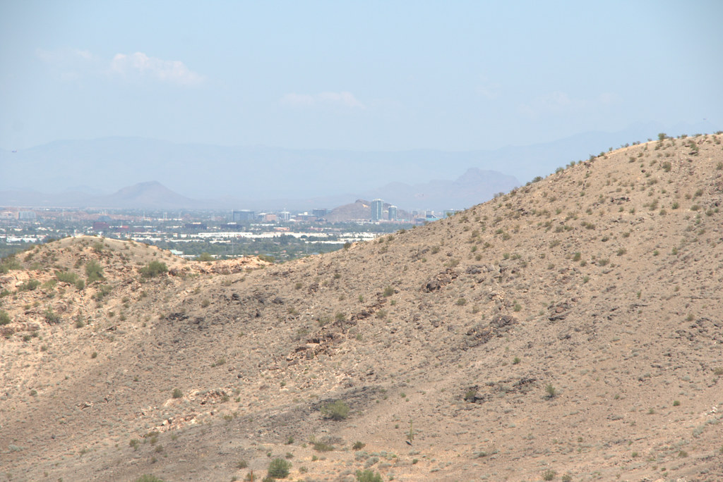 Hau'pal Loop TrailHiking · ~23 min drivePhoto: Ktr101, CC BY-SA 2.0 (via Flickr)
 Cypress Ridge Community Walking TrailHiking · ~23 min drivePhoto: Ken Lund from Reno, Nevada, USA, CC BY-SA 2.0 (via Wikimedia Commons)
- Quartz Peak TrailHiking · ~8 min drive
- Bajada TrailHiking · ~24 min drivePhoto: squeaks2569, CC BY-SA 2.0 (via Flickr)
- Max Delta TrailHiking · ~23 min drivePhoto: Ktr101, CC BY-SA 2.0 (via Flickr)
- Estrella Mountain Regional ParkHiking · ~18 min drive
- Pedersen TrailHiking · ~8 min drive
- T-Bone TrailHiking · ~24 min drivePhoto: Ktr101, CC BY-SA 2.0 (via Flickr)

Map and trail data © OpenStreetMap contributors
