Manuel Tapia Recreational Trail
- 0.8 mi
- loop
- 128 ft
- climb
- 3,859 ft
- high point
- Loop
- route
- Oct–Apr
- best months
The Manuel Tapia Recreational Trail is a short, easy loop in Arizona, about 2.2 miles from Nogales. The route is 0.78 miles long, with a total elevation gain of 128 feet, and it starts and ends at nearly the same elevation, around 3,858 feet. The high point on the loop reaches 3,859 feet, and the steepest stretch comes at about 0.27 miles in, with a grade of 9 percent. Spring and fall are the most comfortable times to go. Typical averages from a nearby weather station in Nogales show April highs around 79°F and October highs around 83°F, while July and August bring highs in the low 90s and rain on about 14 days a month. The trip takes about half an hour, so it works well as a quick outing. For more time on foot, the Dusty Trail Circle and Border hikes are both within about 8 miles, and Calabasas campground is about 6.5 miles away.
Local outfitters
- Patagonia RV Park17 mi away
Not on Roamze yet. Their page has how to reach them.
- CalabasasCamping6.5 mi
- Dusty Trail CircleHiking7.6 mi
- BorderHiking8.1 mi
- Cottonwood Direct TrailHiking8.6 mi
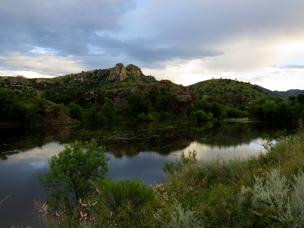 Pena BlancaHikingPhoto: treegrow, CC BY 2.0 (via Flickr)8.8 mi
- White RockCamping8.9 mi
- Overlook TrailHiking9.1 mi
 Sonoita Creek TrailHikingPhoto: Fredlyfish4, CC BY-SA 4.0 (via Wikimedia Commons)9.2 mi
Source: Roamze catalog (indexable pages within 10 miles, PostGIS distance)
- Patagonia Birding LoopHiking · ~18 min drivePhoto: Fredlyfish4, CC BY-SA 4.0 (via Wikimedia Commons)
 Super Trail #134Hiking · ~39 min drivePhoto: Matthew Schallan, CC BY-SA 3.0 (via Wikimedia Commons)
- Camino Viejo a CananeaHiking · ~9 min drive
- Patagonia Train Track TrailHiking · ~28 min drive
- Sonoita Creek TrailHiking · ~18 min drivePhoto: Fredlyfish4, CC BY-SA 4.0 (via Wikimedia Commons)
- BorderHiking · ~14 min drive
- De Anza TrailHiking · ~30 min drive
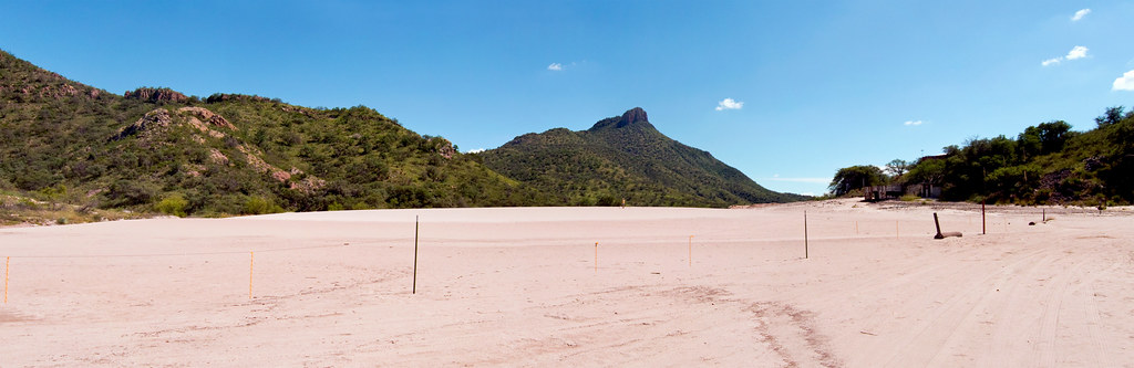 Mineral Lake walkHiking · ~31 min drivePhoto: squeaks2569, CC BY-SA 2.0 (via Flickr)
- Sycamore CanyonHiking · ~26 min drive
- Little Casa ConnectorHiking · ~32 min drive
Best time to visit Manuel Tapia Recreational Trail
Best months: October–April. Best months have typical highs of 55–85 °F, lows of 30 °F or warmer (32 °F where the station doesn't record snow), at most one snowy day and no more than 12 wet days.
Jan
66° / 34°
4 wet
Feb
68° / 36°
4 wet
Mar
73° / 40°
3 wet
Apr
79° / 44°
1 wet
May
88° / 52°
1 wet
Jun
97° / 62°
4 wet
Jul
94° / 67°
14 wet
Aug
92° / 66°
14 wet
Sep
90° / 60°
7 wet
Oct
83° / 49°
3 wet
Nov
73° / 40°
3 wet
Dec
65° / 34°
4 wet
Typical high / low (°F) and days with rain or snow, 1991–2020. Measured at Nogales Intl Ap, AZ, 6.6 mi away at 3,932 ft. This station doesn't record snowfall. Source: NOAA NCEI U.S. Climate Normals 1991–2020.
Map and trail data © OpenStreetMap contributors
