
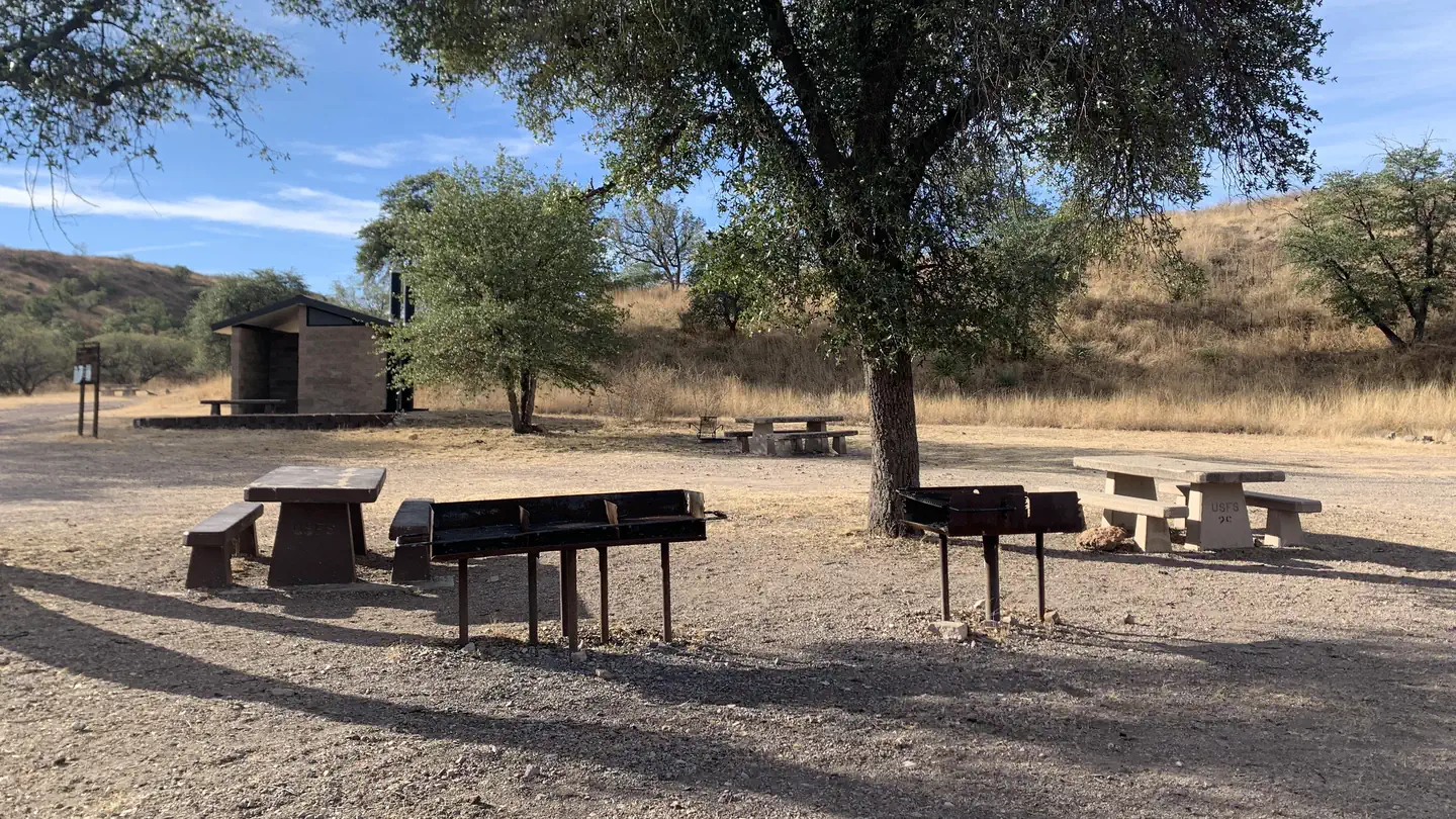

Patagonia RV Park
Hiking business nearby (~23 mi away) — hasn't claimed their Roamze page yet
Free — you'll pick up right here.
Watch this trail
Sign up to watch it — saving subscribes you to gate, closure and report changes.
Arizona
1.8 mi
Distance
14 ft
Gain
37 min
Time
We won't guess. Here is exactly what we do and don't know.
What we do know
Inside Coronado National Forest
2 managing-area boundaries mapped — agency alerts for them feed this page automatically.
Boundary data
What's missing
No access route mapped
We don't yet know which road reaches this trailhead, so we can't tell you if it's gated.
Nobody's filed a report here yet — be the first.
Why you'll love it
Pena Blanca
AI-suggested draft · review before you go
No permit or access details on file for this trail — check with the local land manager before you go.
Pena Blanca is a short out-and-back trail located in Arizona covering 1.8 miles with minimal elevation gain of 14 feet, making it accessible for hikers of most abilities. The trail's low elevation change and modest distance make it an ideal option for a quick outing or families seeking an easy walk. The relatively flat terrain means hikers can focus on enjoying the surrounding landscape rather than challenging ascents or descents. This trail works well for those with limited time or looking to ease into hiking without significant physical demands. The out-and-back format allows hikers to turn around at any point, providing flexibility in how much distance they want to cover. Pena Blanca offers an opportunity to experience Arizona's natural environment on a manageable scale.
Atascosa
~6 min drive
4.7 mi · Moderate
Border
~8 min drive
17 mi · Hard
Anza Trail Connector
~20 min drive
Brief out-and-back connector to the Anza Trail system in Arizona.
Sonoita Creek Trail
~25 min drive
2.8 mi · Easy
Josephine Canyon
~38 min drive
5.0 mi · Moderate
Sycamore Canyon
~11 min drive
20 mi · Hard
Juan Baptista De Anza National Historic Trail
~20 min drive
Historic out-and-back trail following the de Anza expedition route.
Vault Mine
~41 min drive
2.1 mi · Easy
Quantrell Mine
~39 min drive
5.6 mi · Moderate
Agua Caliente
~39 min drive
10 mi · Hard
Local operatorsoffering guided trips. You book directly with them — Roamze doesn’t take a cut.
Patagonia RV Park
Hiking business nearby (~23 mi away) — hasn't claimed their Roamze page yet