Camino Viejo a Cananea
- 1.8 mi
- round trip
- 443 ft
- climb
- 4,175 ft
- high point
- Out and back
- route
- Oct–Apr
- best months
Camino Viejo a Cananea is an out-and-back trail, 1.8 miles each way (3.6 miles round trip) in Sonora, Mexico. It runs between about 3,970 ft and 4,180 ft above sea level, with roughly 310 ft of climbing one way. The nearest town is Heroica Nogales, about 3.7 miles east of the trailhead. Peaks within about 3 miles include Cerro Atravesado and Cerro Ocotoso. There are 5 other mapped trails within about 3 miles, so you can combine or extend the outing. Distances, elevations and the route shape here come from OpenStreetMap and the Copernicus 90 m elevation model. Trails, access rules and conditions change, so check locally before you go.
Local outfitters
- Patagonia RV Park18 mi away
Not on Roamze yet. Their page has how to reach them.
- Nearby · Sonoita Creek Trail · Super Trail #134 · Parker Canyon Lakeshore Trail
Best time to go · Oct–Apr
Best time to visit Camino Viejo a Cananea
Best months: October–April. Best months have typical highs of 55–85 °F, lows of 30 °F or warmer (32 °F where the station doesn't record snow), at most one snowy day and no more than 12 wet days.
Jan
66° / 34°
4 wet
Feb
68° / 36°
4 wet
Mar
73° / 40°
3 wet
Apr
79° / 44°
1 wet
May
88° / 52°
1 wet
Jun
97° / 62°
4 wet
Jul
94° / 67°
14 wet
Aug
92° / 66°
14 wet
Sep
90° / 60°
7 wet
Oct
83° / 49°
3 wet
Nov
73° / 40°
3 wet
Dec
65° / 34°
4 wet
Typical high / low (°F) and days with rain or snow, 1991–2020. Measured at Nogales Intl Ap, AZ, 7.9 mi away at 3,932 ft. This station doesn't record snowfall. Source: NOAA NCEI U.S. Climate Normals 1991–2020.
Keep exploring — more trails worth the drive
 Photo: Fredlyfish4, CC BY-SA 4.0 (via Wikimedia Commons)
Sonoita Creek Trail
~21 min drive
2.75-mile out-and-back trail along Sonoita Creek in Arizona.
 Photo: Matthew Schallan, CC BY-SA 3.0 (via Wikimedia Commons)
Super Trail #134
~45 min drive
6.34-mile out-and-back hike in Arizona with 4,376 ft elevation gain
 Photo: https://www.flickr.com/photos/squeaks2569/, CC BY-SA 2.0 (via Wikimedia Commons)
Parker Canyon Lakeshore Trail
~46 min drive
4.81-mile lollipop trail in Arizona with 109 ft elevation gain.
Photo: Fredlyfish4, CC BY-SA 4.0 (via Wikimedia Commons)Patagonia Birding Loop
~22 min drive
0.7-mile out-and-back birding trail in Arizona with 80 ft elevation gain
HIKE
Border
~20 min drive
17.24-mile out-and-back trail in Arizona with 593 ft elevation gain.
HIKE
Atascosa
~29 min drive
4.68-mile out-and-back trail in Arizona with 1,547 ft elevation gain.
Photo: Fredlyfish4, CC BY-SA 4.0 (via Wikimedia Commons)Sonoita Creek Trail
~23 min drive
1.6-mile out-and-back trail in Arizona with 250 ft elevation gain.
HIKE
Sycamore Canyon
~34 min drive
19.72-mile out-and-back trail in Arizona with 1,375 ft elevation gain.
HIKE
Patagonia Train Track Trail
~31 min drive
9.26-mile out-and-back hike in Arizona with 301 ft elevation gain
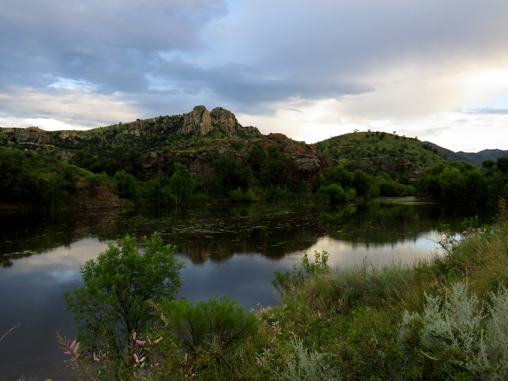 Photo: treegrow, CC BY 2.0 (via Flickr)
Pena Blanca
~23 min drive
Pena Blanca is a 1.82-mile out-and-back trail in Arizona with 14 feet of elevation gain.
Conditions and forecast
Daily highs and lows, wind and the chance of precipitation at Camino Viejo a Cananea for the next 7 days, from the Open-Meteo model.
Map and trail data © OpenStreetMap contributors
