Sycamore Canyon
- 19.7 mi
- round trip
- 1,375 ft
- climb
- 5,015 ft
- high point
- Out and back
- route
- Feb–Apr, Oct–Nov
- best months
Is Sycamore Canyon open right now?
Alert in the area
The Forest Service lists 3 alerts for Coronado National Forest.
Border Barrier Construction Closure
Agency alert covering Coronado National Forest · Order 03-05-00-26-011 · USFS · Coronado National Forest
No Fire Restrictions
Agency alert covering Coronado National Forest · USFS · Coronado National Forest
Barfoot Snake Closure Order 03-05-01-24-004
Agency alert covering Coronado National Forest · USFS · Coronado National Forest
As of · Source: USFS · Coronado National Forest. Agencies don't list every closure — check before you go.
Sycamore Canyon is a hard hike in Arizona's Coronado National Forest, on the Nogales Ranger District. The trail is an out-and-back that climbs from about 3,500 feet to about 5,000 feet, with a total elevation gain of 1,375 feet. The Forest Service manages the land, and the trailhead is named Sycamore Canyon Trailhead, with parking at the Sycamore Canyon site. Spring and fall are the most comfortable times to go. Typical averages from a nearby weather station in Nogales show April highs around 79°F and October highs around 83°F, while July and August bring highs in the low 90s and about 13 wet days a month. That station sits roughly 1,500 feet below the trail's high point, so temperatures on the ridge run cooler. The trail is natural-surface and not accessible. Bikes are not allowed. The hike is open year-round. Nearby, Atascosa and the Mineral Lake walk are both about 3 miles away. Pena Blanca is about 6 miles off, and White Rock campground is about 6.5 miles away.
Local outfitters
- Patagonia RV Park28 mi away
Not on Roamze yet. Their page has how to reach them.
- AtascosaHiking3.1 mi
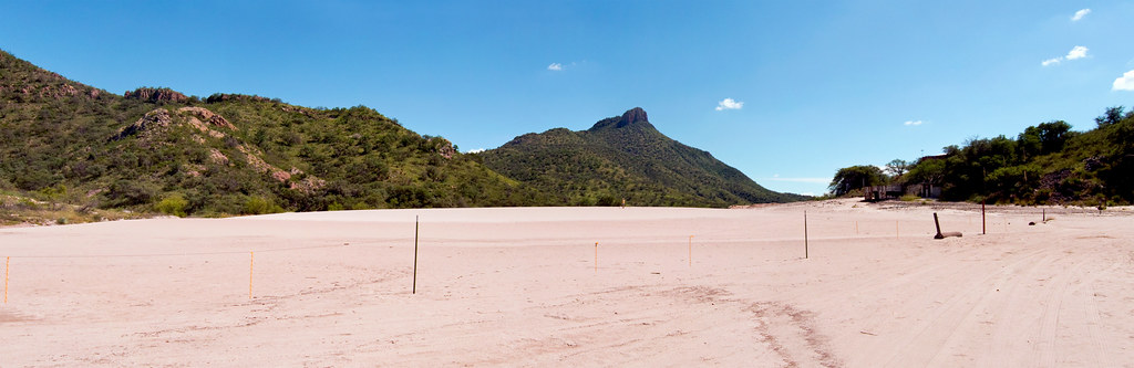 Mineral Lake walkHikingPhoto: squeaks2569, CC BY-SA 2.0 (via Flickr)3.2 mi
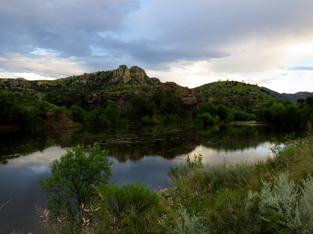 Pena BlancaHikingPhoto: treegrow, CC BY 2.0 (via Flickr)6.4 mi
- White RockCamping6.5 mi
- CalabasasCamping8.8 mi
- BorderHiking9.2 mi
Source: Roamze catalog (indexable pages within 10 miles, PostGIS distance)
- Mineral Lake walkHiking · ~6 min drivePhoto: squeaks2569, CC BY-SA 2.0 (via Flickr)
- BorderHiking · ~16 min drive
- Kanye's Krazy LoopHiking · ~26 min drive
- Camino Viejo a CananeaHiking · ~34 min drive
 Patagonia Birding LoopHiking · ~35 min drivePhoto: Fredlyfish4, CC BY-SA 4.0 (via Wikimedia Commons)
- Juan Bautista De Anza National Historic TrailHiking · ~23 min drive
- De Anza TrailHiking · ~27 min drive
- Sonoita Creek TrailHiking · ~36 min drivePhoto: Fredlyfish4, CC BY-SA 4.0 (via Wikimedia Commons)
- Agua CalienteHiking · ~41 min drive
- Mustang TrailHiking · ~27 min drive
Best time to visit Sycamore Canyon
Best months: February–April and October–November. Best months have typical highs of 55–85 °F, lows of 30 °F or warmer (32 °F where the station doesn't record snow), at most one snowy day and no more than 12 wet days.
Jan
65° / 28°
5 wet
Feb
67° / 30°
5 wet
Mar
73° / 35°
4 wet
Apr
79° / 39°
2 wet
May
87° / 46°
1 wet
Jun
96° / 56°
4 wet
Jul
94° / 65°
13 wet
Aug
92° / 64°
13 wet
Sep
91° / 58°
7 wet
Oct
83° / 45°
3 wet
Nov
73° / 34°
4 wet
Dec
65° / 28°
5 wet
Typical high / low (°F) and days with rain or snow, 1991–2020. Measured at Nogales 6 N, AZ, 13.3 mi away at 3,461 ft. The station sits about 1,600 ft lower than this place, so expect it a little cooler here. Source: NOAA NCEI U.S. Climate Normals 1991–2020.
