
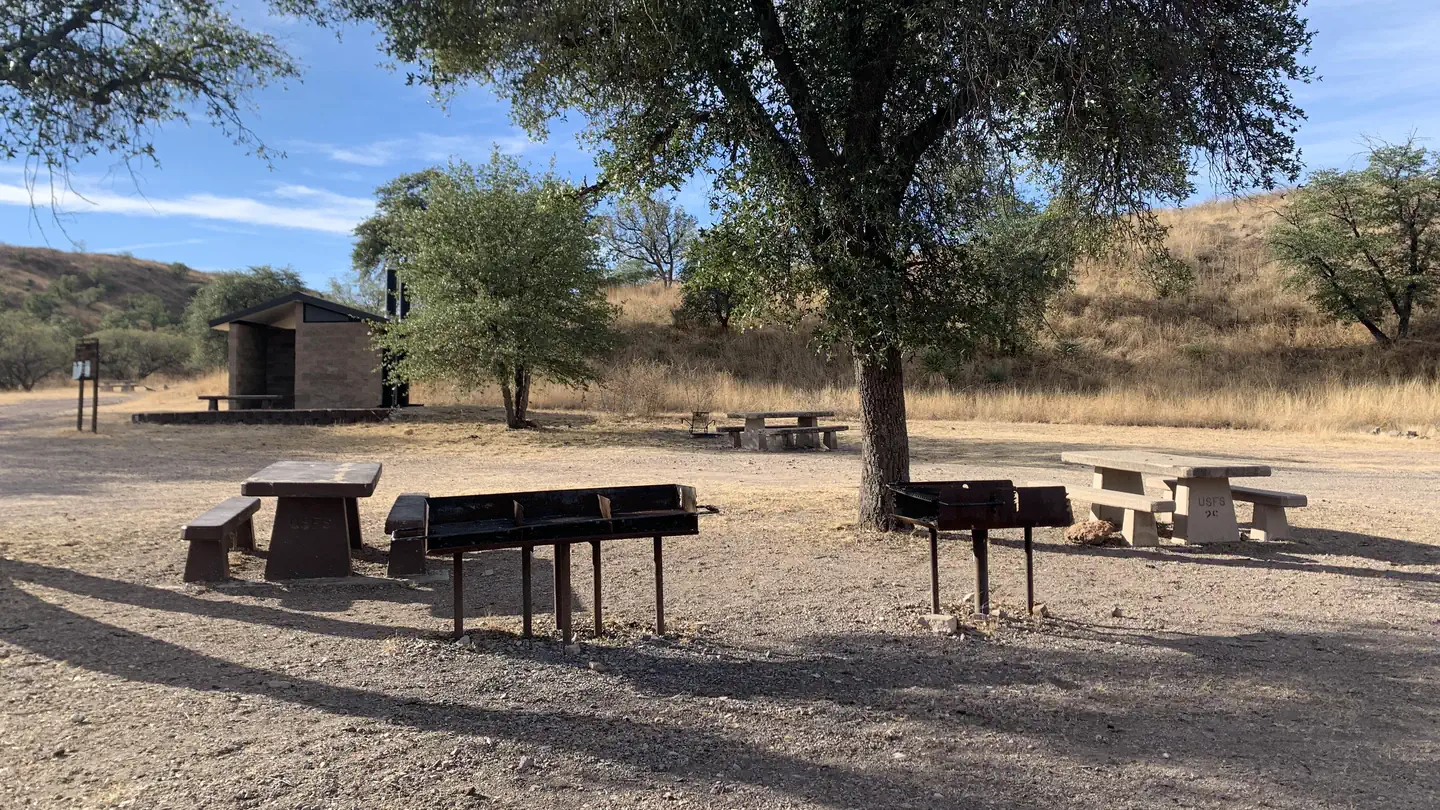
Patagonia RV Park
Hiking business nearby (~8 mi away) — hasn't claimed their Roamze page yet
Free — you'll pick up right here.
Watch this trail
Sign up to watch it — saving subscribes you to gate, closure and report changes.
Arizona
2.8 mi
Distance
79 ft
Gain
58 min
Time
Weather is good
1 factor · 1 source
Observed 22 h ago
clear: Weather
Clouds, high 91°F / low 71°F, 0% precip — 87/100 for hike
OpenWeather22 h ago
Been out here in the last few days? One report keeps this current for everyone.
Why you'll love it
Sonoita Creek Trail
AI-suggested draft · review before you go
No permit or access details on file for this trail — check with the local land manager before you go.
Sonoita Creek Trail is a 2.8-mile out-and-back hike located in Arizona. The trail features minimal elevation gain of just 79 feet, making it an accessible option for hikers of various skill levels. The gentle grade and moderate distance combine to create a relatively easy hiking experience. This trail follows Sonoita Creek through the Arizona landscape, offering a straightforward route ideal for those seeking a shorter outing. The out-and-back format means hikers will retrace their steps on the return journey, so the total round-trip distance is 5.6 miles. The low elevation gain indicates the trail remains fairly level throughout, making it suitable for families, casual hikers, and those looking for a low-intensity hike. The proximity to Arizona provides convenient access for local residents and visitors exploring the region's natural areas.
Juan Baptista De Anza National Historic Trail
~21 min drive
Historic out-and-back trail following the de Anza expedition route.
Josephine Canyon
~21 min drive
5.0 mi · Moderate
Pena Blanca
~25 min drive
1.8 mi · Easy
Walker Canyon Trail
~26 min drive
Remote 30-mile Arizona backcountry trail through canyon terrain.
Anza Trail Connector
~21 min drive
Brief out-and-back connector to the Anza Trail system in Arizona.
Chinaman Trail #137
~25 min drive
9.9 mi · Moderate
Vault Mine
~26 min drive
2.1 mi · Easy
Agua Caliente
~27 min drive
10 mi · Hard
Arizona Trail
~34 min drive
A 9.21-mile loop trail in Arizona connected to Passage 42, perfect for a full day of hiking.
Quantrell Mine
~27 min drive
5.6 mi · Moderate
Local operatorsoffering guided trips. You book directly with them — Roamze doesn’t take a cut.
Patagonia RV Park
Hiking business nearby (~8 mi away) — hasn't claimed their Roamze page yet