Patagonia Birding Loop
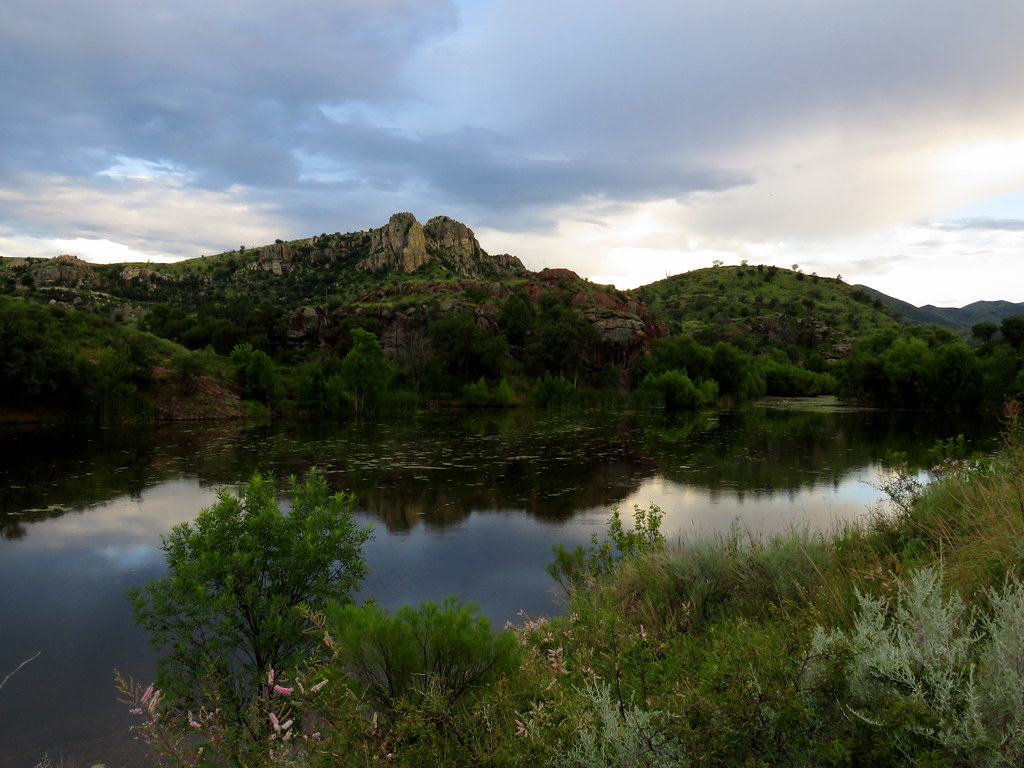
 Photo: Fredlyfish4, CC BY-SA 4.0 (via Wikimedia Commons)
- 0.4 mi
- round trip
- 80 ft
- climb
- 3,806 ft
- high point
- Out and back
- route
- Oct–Apr
- best months
The Patagonia Birding Loop is a short 0.7-mile out-and-back trail in Arizona with 80 feet of elevation gain and loss. The trail reaches a maximum elevation of 3,806 feet.
Local outfitters
- Patagonia RV Park7 mi away
Not on Roamze yet. Their page has how to reach them.
- Sonoita Creek TrailHiking · Next doorPhoto: Fredlyfish4, CC BY-SA 4.0 (via Wikimedia Commons)
 Super Trail #134Hiking · ~23 min drivePhoto: Matthew Schallan, CC BY-SA 3.0 (via Wikimedia Commons)
- Patagonia Train Track TrailHiking · ~11 min drive
- Camino Viejo a CananeaHiking · ~22 min drive
- Sonoita Creek TrailHiking · ~2 min drivePhoto: Fredlyfish4, CC BY-SA 4.0 (via Wikimedia Commons)
- Juan Bautista De Anza National Historic TrailHiking · ~22 min drive
- Little Casa ConnectorHiking · ~14 min drive
 Pena BlancaHiking · ~27 min drivePhoto: treegrow, CC BY 2.0 (via Flickr)
- GardnerHiking · ~24 min drive
- Josephine CanyonHiking · ~20 min drive
Also worth it near here
Best time to visit Patagonia Birding Loop
Best months: October–April. Best months have typical highs of 55–85 °F, lows of 30 °F or warmer (32 °F where the station doesn't record snow), at most one snowy day and no more than 12 wet days.
Jan
66° / 34°
4 wet
Feb
68° / 36°
4 wet
Mar
73° / 40°
3 wet
Apr
79° / 44°
1 wet
May
88° / 52°
1 wet
Jun
97° / 62°
4 wet
Jul
94° / 67°
14 wet
Aug
92° / 66°
14 wet
Sep
90° / 60°
7 wet
Oct
83° / 49°
3 wet
Nov
73° / 40°
3 wet
Dec
65° / 34°
4 wet
Typical high / low (°F) and days with rain or snow, 1991–2020. Measured at Nogales Intl Ap, AZ, 5.2 mi away at 3,932 ft. This station doesn't record snowfall. Source: NOAA NCEI U.S. Climate Normals 1991–2020.


Map and trail data © OpenStreetMap contributors
