KOA Holiday - Flagstaff
Campground
Campground · 0.6 mi from the trail
 Photo: Coconino NF Photography, Public Domain Mark (via Flickr)
Alert in the area
The Forest Service lists 5 alerts for Coconino National Forest.
West Fork Temporary Area Closure - Extension to 2/27/27
Agency alert covering Coconino National Forest · Order 03-04-00-26-09 · USFS · Coconino National Forest
Temporary Closure for West Wing Pile Burn
Agency alert covering Flagstaff Ranger District · Order 03-04-08-26-08 · USFS · Flagstaff Ranger District
Newman Park Pile Burn
Agency alert covering Flagstaff Ranger District · USFS · Flagstaff Ranger District
Kachina Village and Pumphouse Wash Camping and Campfire Restrictions
Agency alert covering Flagstaff Ranger District · Order 03-04-08-25-02 · USFS · Flagstaff Ranger District
Flagstaff-area camping and campfire restrictions in effect year-round
Agency alert covering Flagstaff Ranger District · Order 03-04-08-25-01 · USFS · Flagstaff Ranger District
As of · Source: USFS · Coconino National Forest. Agencies don't list every closure — check before you go.
Elden Lookout Trail is a hard hike of about 2.6 miles in a loop, rising from 6,884 feet to 9,281 feet. It sits in the Flagstaff Ranger District of Coconino National Forest in Arizona, on land managed by the Forest Service, and the climb totals about 3,900 feet. The trail is rated hard, and the route is a loop, so the full 3,900 feet of elevation gain is for one complete circuit. The trail is open to both horses and bikes, which makes it a flexible option for riders and pack animals. The trip takes about three hours, and the parking area is labeled "MT ELDEN." Several other spots lie close by. Fatmans Loop and Elden Lookout, both mountain biking routes, are within a quarter mile. Secret Canyon and The Carnal Caves, climbing areas, are about half a mile away. For an overnight stay, Little Elden Springs Horsecamp is roughly 2.3 miles off.
KOA Holiday - Flagstaff
Campground
Express Burritos
Mexican restaurant
Museum of Northern Arizona research facility
Museum
Places © OpenStreetMap contributors, Places © Overture Maps Foundation
More in Kachina VillageNot on Roamze yet. Their page has how to reach them.
Daily highs and lows, wind and the chance of precipitation at the summit and route start for the next 7 days, from the Open-Meteo model.
 Secret CanyonRock climbingPhoto: Coconino NF Photography, CC BY-SA 2.0 (via Flickr)0.5 mi
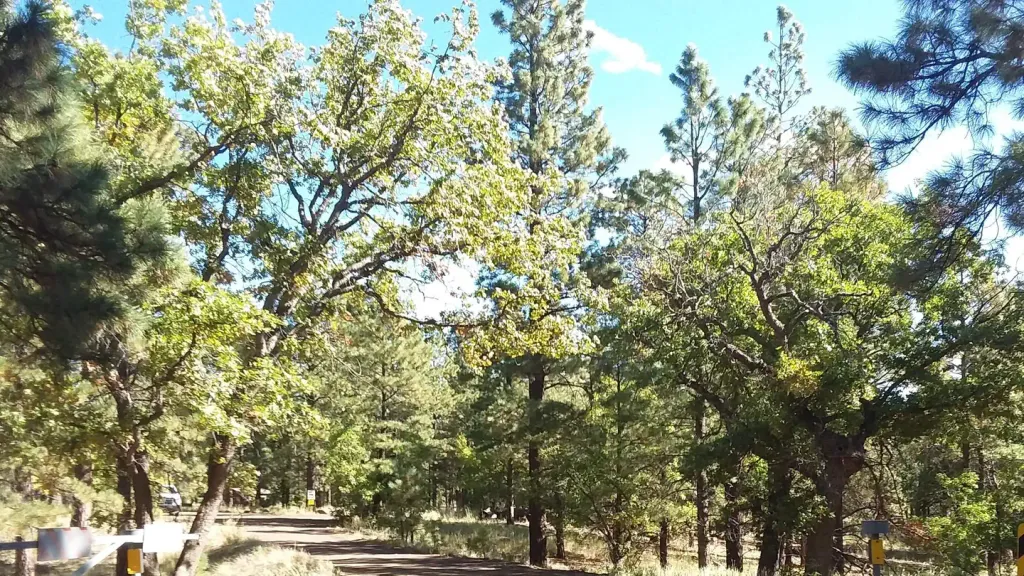 Little Elden Springs HorsecampCampingPhoto: Recreation.gov (RIDB) / public domain2.3 mi
 Walnut CreekCanoeingPhoto: Llrice1240, CC BY-SA 3.0 (via Wikimedia Commons)7.3 mi
Source: Roamze catalog (indexable pages within 10 miles, PostGIS distance)
Christmas TreeHiking · Next doorPhoto: Coconino NF Photography, Public Domain Mark (via Flickr) Arizona Trail-Little EldenHiking · ~2 min drivePhoto: Fire At Will [Photography], CC BY-SA 2.0 (via Flickr)
 DD TrailHiking · ~2 min drivePhoto: Coconino NF Photography, Public Domain Mark (via Flickr)
 Sunset TrailHiking · ~1 min drivePhoto: Coconino NF Photography, Public Domain Mark (via Flickr)
 Heart TrailHiking · ~2 min drivePhoto: Coconino NF Photography, Public Domain Mark (via Flickr)
 Sandy Seep TrailHiking · ~3 min drivePhoto: Bobby Chin, CC BY-SA 4.0 (via Wikimedia Commons)Tom Moody Loop TrailHiking · ~4 min drivePhoto: Bobby Chin, CC BY-SA 4.0 (via Wikimedia Commons)
 Blue Dot TrailHiking · ~3 min drivePhoto: Coconino NF Photography, Public Domain Mark (via Flickr)Mount Elden Summit TrailHiking · ~3 min drivePhoto: Coconino NF Photography, Public Domain Mark (via Flickr)
 Pipeline TrailHiking · ~4 min drivePhoto: cogdogblog, Public Domain Dedication (CC0) (via Flickr)
Park at MT ELDEN.
About 2.6 mi from MT ELDEN (about 7,462 ft).
About 3,904 ft of climbing round trip.
It is rated hard.
MT ELDEN (about 7,462 ft).
About 3 hours round trip.
2: Elden Lookout Trail and Sunset Trail.
Map and trail data © OpenStreetMap contributors
