

Four Season Guides
Hiking business nearby (~7 mi away) — hasn't claimed their Roamze page yet
Free — you'll pick up right here.
Watch this trail
Sign up to watch it — saving subscribes you to gate, closure and report changes.
Arizona
3.5 mi
Distance
262 ft
Gain
1h 18m
Time
An agency closure order is in effect for this area; weather is good
2 factors · 2 sources
Newest 14 h ago · oldest 5 d
problem: Agency alerts
12 active alerts in Coconino National Forest; most severe: West Fork Temporary Area Closure
USFS5 d ago
clear: Weather
Clear, high 57°F / low 57°F, 0% precip — 100/100 for hike
OpenWeather14 h ago
Been out here in the last few days? One report keeps this current for everyone.
Why you'll love it
Tom Moody Loop Trail
AI-suggested draft · review before you go
No permit or access details on file for this trail — check with the local land manager before you go.
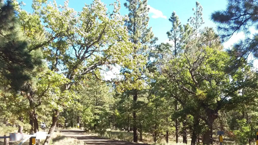
Tom Moody Loop Trail is a 3.5-mile loop in Arizona offering an accessible hiking experience with 262 feet of elevation gain. The relatively modest elevation change makes this trail suitable for hikers of varying fitness levels seeking a moderate outing without significant climbing demands. The loop format allows hikers to return to their starting point without retracing the same path, providing variety throughout the hike. This trail configuration is ideal for those who prefer not to backtrack on the same terrain. With its moderate distance and manageable elevation profile, Tom Moody Loop Trail works well as a half-day adventure. The combination of length and elevation gain suggests the hike typically takes between one and two hours for most hikers, depending on pace and trail conditions. The Arizona landscape provides the backdrop for this loop, offering hikers an opportunity to explore the region's natural terrain. Whether you're a local or visiting the area, Tom Moody Loop Trail presents a straightforward option for outdoor recreation.
Azt - Mt Elden
~1 min drive
A 2.28-mile out-and-back single-track trail on Mt Elden that links to Little Elden Spring and Tip Tank.
Sandy Seep Trail
~3 min drive
3.3 mi · Easy
Continental
~3 min drive
3.4 mi · Moderate
Walnut Meadows
~4 min drive
6.3 mi · Hard
Arizona Trail
~1 min drive
A 1.16-mile out-and-back trail in Arizona connected to Passage 42 of the Arizona Trail system.
Anasazi
~3 min drive
2.5 mi · Easy
Forces of Nature Trail
~4 min drive
A 6.90-mile moderate singletrack out-and-back in Arizona with access to the Pipeline Trail network.
Campbell Mesa Loop
~4 min drive
5.8 mi · Hard
Arizona Trail-Mount Elden
~3 min drive
Lollipop trail up Mount Elden with steady forest climbing and high-country views.
Fatman's Loop
~4 min drive
A 2.20-mile moderate lollipop trail in Arizona featuring rocky terrain.
Local operatorsoffering guided trips. You book directly with them — Roamze doesn’t take a cut.
Four Season Guides
Hiking business nearby (~7 mi away) — hasn't claimed their Roamze page yet
Village Camp
Hiking business nearby (~16 mi away) — hasn't claimed their Roamze page yet
Rancho Sedona RV Park
Hiking business nearby (~28 mi away) — hasn't claimed their Roamze page yet