Black Barts RV Park
Campground
Campground · 2.4 mi from the trail
 Photo: cogdogblog, Public Domain Dedication (CC0) (via Flickr)
Alert in the area
The Forest Service lists 5 alerts for Coconino National Forest.
West Fork Temporary Area Closure - Extension to 2/27/27
Agency alert covering Coconino National Forest · Order 03-04-00-26-09 · USFS · Coconino National Forest
Temporary Closure for West Wing Pile Burn
Agency alert covering Flagstaff Ranger District · Order 03-04-08-26-08 · USFS · Flagstaff Ranger District
Newman Park Pile Burn
Agency alert covering Flagstaff Ranger District · USFS · Flagstaff Ranger District
Kachina Village and Pumphouse Wash Camping and Campfire Restrictions
Agency alert covering Flagstaff Ranger District · Order 03-04-08-25-02 · USFS · Flagstaff Ranger District
Flagstaff-area camping and campfire restrictions in effect year-round
Agency alert covering Flagstaff Ranger District · Order 03-04-08-25-01 · USFS · Flagstaff Ranger District
As of · Source: USFS · Coconino National Forest. Agencies don't list every closure — check before you go.
Pipeline Trail is a 3.7-mile loop in the Flagstaff Ranger District of Coconino National Forest in Arizona, managed by the Forest Service. The route rises about 90 feet from its low point of 6,927 feet to a high of 7,209 feet, making it a moderate walk with a mostly flat profile. Spring and fall are the most comfortable times to go. Typical averages from a nearby weather station run to highs around 68°F in May and 64°F in October, while July and August bring the most wet days, about 11 and 13 respectively. The trail is open to both horses and bikes. The Middle Tier Trail starts about 0.1 mile away, and the East Park Way Access Trail and the Heart Cave and Surroundings climbing area are each about 0.3 mile off. For an overnight stay, Little Elden Springs Horsecamp is about 3.7 miles away.
Black Barts RV Park
Campground
Subway
Fast food
Museum of Northern Arizona research facility
Museum
Places © OpenStreetMap contributors
More in Kachina VillageNot on Roamze yet. Their page has how to reach them.
Best months: May–July and September–October. Best months have typical highs of 55–85 °F, lows of 30 °F or warmer (32 °F where the station doesn't record snow), at most one snowy day and no more than 12 wet days.
Jan
43° / 18°
7 wet
Feb
46° / 20°
7 wet
Mar
52° / 24°
7 wet
Apr
59° / 28°
5 wet
May
68° / 35°
4 wet
Jun
79° / 43°
4 wet
Jul
82° / 51°
11 wet
Aug
79° / 51°
13 wet
Sep
74° / 43°
8 wet
Oct
64° / 32°
5 wet
Nov
52° / 23°
5 wet
Dec
43° / 17°
7 wet
Typical high / low (°F) and days with rain or snow, 1991–2020. Measured at Flagstaff Pulliam Ap, AZ, 6.3 mi away at 7,003 ft. This station doesn't record snowfall. Source: NOAA NCEI U.S. Climate Normals 1991–2020.
 Photo: Coconino NF Photography, Public Domain Mark (via Flickr)
Middle Tier Trail
Next door
1.64-mile out-and-back trail in Arizona with 269 ft elevation gain and loss.
 Photo: Coconino NF Photography, Public Domain Mark (via Flickr)
Blue Dot Trail
~2 min drive
2.18-mile out-and-back hike in Arizona with 1,812 ft gain/loss and 9,112 ft max elevation.
 Photo: Coconino NF Photography, CC BY-SA 2.0 (via Flickr)
Taawa
~4 min drive
4.21-mile out-and-back trail in Arizona with 1,012 ft elevation gain.
Photo: cogdogblog, Public Domain Dedication (CC0) (via Flickr)East Park Way Access Trail
Next door
1.54-mile out-and-back trail in Arizona with 228 ft elevation gain.
 Photo: Coconino NF Photography, Public Domain Dedication (CC0) (via Flickr)
Brookbank
~4 min drive
11.32-mile out-and-back trail in Arizona with 939 ft gain.
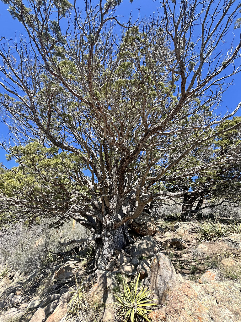 Photo: Coconino NF Photography, Public Domain Mark (via Flickr)
Christmas Tree
~4 min drive
3.06-mile out-and-back trail in Arizona with 243 ft of elevation gain.
Photo: cogdogblog, Public Domain Dedication (CC0) (via Flickr)Elden Grave Trail
Next door
0.86-mile out-and-back hike in Arizona with 119 ft of elevation gain.
Photo: Coconino NF Photography, CC BY-SA 2.0 (via Flickr)Big Bang
~4 min drive
9.05-mile out-and-back trail in Arizona with 1,157 ft elevation gain
 Photo: Coconino NF Photography, Public Domain Mark (via Flickr)
Sunset Trail
~3 min drive
10.42-mile out-and-back trail in Arizona with 180 ft of elevation gain.
Photo: cogdogblog, Public Domain Dedication (CC0) (via Flickr)Arizona Trail-Flagstaff
Next door
0.62-mile out-and-back trail in Arizona with 9 ft elevation gain.
Map and trail data © OpenStreetMap contributors

