Primitive Campsite near Jacobs Crosscut (Tonto National Forest)
Campground
Campground · 2.3 mi from the trail
 Photo: deborah.soltesz, Public Domain Dedication (CC0) (via Flickr)
Alert in the area
The Forest Service lists 5 alerts for Mesa Ranger District.
Temporary Public Health and Safety Closure Granite Reef Recreation Site Area Closure
Agency alert covering Mesa Ranger District · Order 03-12-03-26-33 · USFS · Mesa Ranger District
Canyon Lake Drawdown Public Safety Closure
Agency alert covering Tonto National Forest · Order 03-12-00-26-22 · USFS · Tonto National Forest
No Fire Restrictions
Agency alert covering Tonto National Forest · USFS · Tonto National Forest
Lower Salt River Seasonal Bald Eagle Closures
Agency alert covering Mesa Ranger District · Order 03-12-03-24-65 · USFS · Mesa Ranger District
Roosevelt Lake Seasonal Wildlife Closure
Agency alert covering Tonto National Forest · Order 12-16-5 · USFS · Tonto National Forest
As of · Source: USFS · Mesa Ranger District. Agencies don't list every closure — check before you go.
Black Mesa Trail is an easy out-and-back hike of about 5.8 miles in Arizona's Superstition Wilderness, on the Mesa Ranger District of Tonto National Forest. The trail starts at a low point of about 2,287 feet and climbs to a high point of about 2,762 feet, a gain of 343 feet, and the Forest Service manages the land. The most comfortable months for a visit are typically November through March. At a nearby weather station in Apache Junction, typical averages run from highs around 67°F in January to about 77°F in March, while summer highs climb into the 100s. That station sits roughly 700 feet below the trail, so temperatures on the trail run cooler. Hackberry Spring Trail and Second Water Trail both lie about a mile away, and Grand Enchantment Trail is just over a mile off. Climbers can find The Iceberg about 2.7 miles away.
Primitive Campsite near Jacobs Crosscut (Tonto National Forest)
Campground
Trails End
Attraction
Places © OpenStreetMap contributors
More in SuperiorNot on Roamze yet. Their page has how to reach them.
Best months: November–April. Best months have typical highs of 55–85 °F, lows of 30 °F or warmer (32 °F where the station doesn't record snow), at most one snowy day and no more than 12 wet days.
Jan
67° / 43°
4 wet
Feb
70° / 44°
4 wet
Mar
77° / 48°
4 wet
Apr
85° / 53°
2 wet
May
93° / 60°
2 wet
Jun
103° / 69°
1 wet
Jul
105° / 77°
4 wet
Aug
104° / 76°
6 wet
Sep
99° / 71°
4 wet
Oct
88° / 60°
3 wet
Nov
76° / 50°
3 wet
Dec
66° / 42°
4 wet
Typical high / low (°F) and days with rain or snow, 1991–2020. Measured at Apache Junction 5 Ne, AZ, 3.5 mi away at 2,070 ft. The station sits about 700 ft lower than this place, so expect it a little cooler here. Source: NOAA NCEI U.S. Climate Normals 1991–2020.
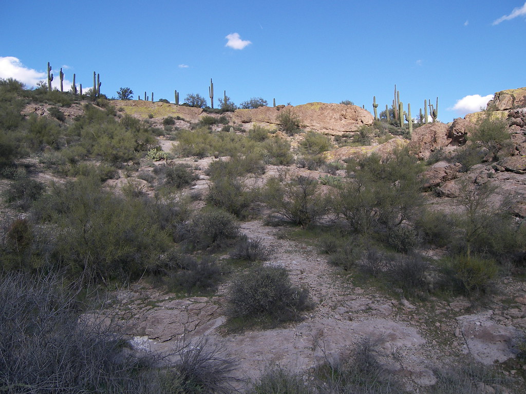 Photo: deborah.soltesz, Public Domain Dedication (CC0) (via Flickr)
Hackberry Spring Trail
~1 min drive
4.82-mile out-and-back hike in Arizona with 1,194 ft elevation gain.
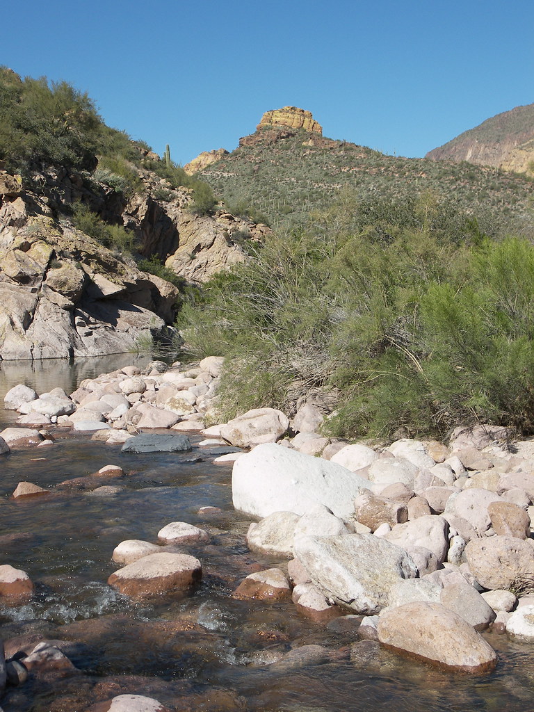 Photo: deborah.soltesz, Public Domain Dedication (CC0) (via Flickr)
Battleship Mountain scramble
~3 min drive
2.14-mile out-and-back scramble with 1,157 ft gain at Battleship Mountain in Arizona
 Photo: dconvertini, CC BY-SA 2.0 (via Flickr)
Prospectors Trail #57
~5 min drive
1.17-mile out-and-back trail in Arizona with 89 ft gain and 454 ft loss.
 Photo: The3dStudioDotCom, CC BY-SA 3.0 (via Wikimedia Commons)
Superstition Ridgeline Trail
~6 min drive
13.34-mile out-and-back trail in Arizona with 5,247 ft elevation gain.
Photo: deborah.soltesz, Public Domain Dedication (CC0) (via Flickr)Grand Enchantment Trail
~2 min drive
Grand Enchantment Trail is a 2075-mile out-and-back in Arizona with 8,649 ft gain.
Photo: deborah.soltesz, Public Domain Dedication (CC0) (via Flickr)Cavalry Trail
~3 min drive
6.41-mile out-and-back trail in Arizona with 445 ft elevation gain.
 Photo: Dougtone, CC BY-SA 2.0 (via Wikimedia Commons)
Quail Loop Trail
~6 min drive
0.68-mile loop in Arizona with 54 ft gain and 72 ft loss.
Photo: deborah.soltesz, Public Domain Dedication (CC0) (via Flickr)Dutchman Trail
~2 min drive
18.65-mile point-to-point trail in Arizona with 978 ft elevation gain.
Photo: Dougtone, CC BY-SA 2.0 (via Wikimedia Commons)Massacre Falls Trail
~4 min drive
5.32-mile out-and-back trail in Arizona with 1,234 ft elevation gain and loss.
 Photo: Dougtone, CC BY-SA 2.0 (via Wikimedia Commons)
Treasure Loop
~6 min drive
4.70-mile out-and-back trail in Arizona with 466 ft gain
Map and trail data © OpenStreetMap contributors

