Douglas Spring
Campground
Campground · 5.7 mi from the trail
 Photo: squeaks2569, CC BY-SA 2.0 (via Flickr)
Caution today
Agency alerts are in effect for this area; weather is good · USFS, OpenWeather · checked 6 h ago
Closure in the area
There's a closure order in Santa Catalina Ranger District. It doesn't name Bellota Trail #15, so check the source for the area it covers.
Marshall Gulch Closure Order
Agency closure covering Santa Catalina Ranger District · Order 03-05-05-26-009 · USFS · Santa Catalina Ranger District
Border Barrier Construction Closure
Agency alert covering Coronado National Forest · Order 03-05-00-26-011 · USFS · Coronado National Forest
No Fire Restrictions
Agency alert covering Coronado National Forest · USFS · Coronado National Forest
Barfoot Snake Closure Order 03-05-01-24-004
Agency alert covering Coronado National Forest · USFS · Coronado National Forest
As of · Source: USFS · Santa Catalina Ranger District. Agencies don't list every closure — check before you go.
Bellota Trail #15 is a hard, out-and-back route of about 21 miles in the Santa Catalina Ranger District of Coronado National Forest in Arizona. The trail rises from a low point of about 3,870 feet to a high of about 4,850 feet, giving it an elevation gain of about 500 feet one way. Spring and fall are the most comfortable times to go. Typical averages from a nearby weather station at Oracle, which sits a few hundred feet below the trail, show April highs around 71°F and October highs around 77°F, while July and August average in the low 90s. The trail is managed by the Forest Service and allows both horses and bikes. The Italian Spring Trail #95 lies about 1.6 miles away, and the Bellota mountain biking trailhead is about 3.3 miles off. Climbers can find the Southern Arizona climbing area and Los Viejos Crag about 5 miles out.
Douglas Spring
Campground
Butler Hall
Fast food
Wildlife Viewing Area
Viewpoint
Places © OpenStreetMap contributors
More in Oracle Southern ArizonaRock climbingPhoto: beglib, CC BY-SA 3.0 (via Wikimedia Commons)4.9 mi
 Los Viejos CragRock climbingPhoto: Katja Schulz from Washington, D. C., USA, CC BY 2.0 (via Wikimedia Commons)5 mi
 Blue Dot TrailHikingPhoto: 666isMONEY ☮ ♥ & ☠, CC BY 2.0 (via Flickr)5.1 miThe Tool ShedRock climbingPhoto: beglib, CC BY-SA 3.0 (via Wikimedia Commons)5.5 mi
 MolinoCampingPhoto: Recreation.gov (RIDB) / public domain7.4 mi
Source: Roamze catalog (indexable pages within 10 miles, PostGIS distance)
Blue Dot TrailHiking · ~9 min drivePhoto: 666isMONEY ☮ ♥ & ☠, CC BY 2.0 (via Flickr) Upper Tanque Verde FallsHiking · ~10 min drivePhoto: KimonBerlin, CC BY-SA 2.0 (via Flickr)
 Douglas Spring TrailHiking · ~13 min drivePhoto: desertdutchman, CC BY 2.0 (via Flickr)
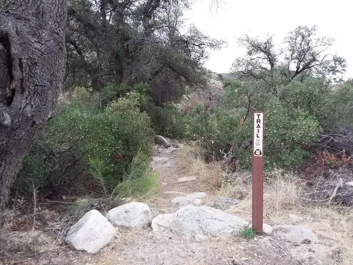
 Bellota Trail #15Hiking · ~12 min drivePhoto: theojones2, Public Domain Dedication (CC0) (via Flickr)Molino Basin Trail #11Hiking · ~12 min drivePhoto: theojones2, Public Domain Dedication (CC0) (via Flickr)
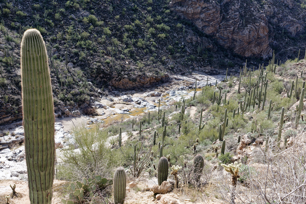 South Tanque Verde RimHiking · ~11 min drivePhoto: KimonBerlin, CC BY-SA 2.0 (via Flickr)
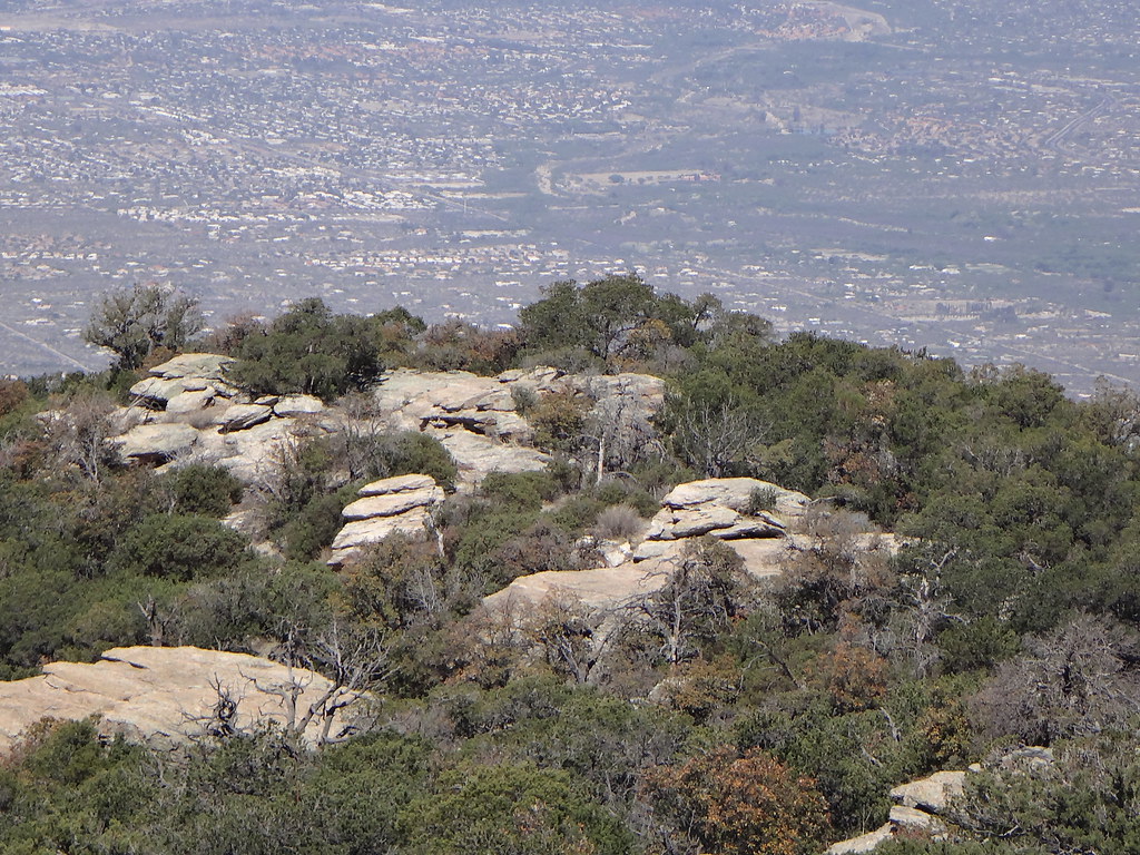 Tanque Verde Ridge TrailHiking · ~14 min drivePhoto: dret, CC BY-SA 2.0 (via Flickr)
 MilagrosaHiking · ~14 min drivePhoto: Tanque Verde, CC BY 2.0 (via Flickr)
 Bug Springs TrailHiking · ~14 min drivePhoto: theojones2, Public Domain Dedication (CC0) (via Flickr)Tanque Verde Rim LoopHiking · ~11 min drivePhoto: KimonBerlin, CC BY-SA 2.0 (via Flickr)
Also worth it near here
Southern ArizonaRock climbing · ~8 min drivePhoto: beglib, CC BY-SA 3.0 (via Wikimedia Commons) Mica MountainSummit · ~11 min drivePhoto: All Fronts Quiet, CC BY-SA 3.0 (via Wikimedia Commons)
 La MilagrosaMountain biking · ~12 min drivePhoto: Katja Schulz from Washington, D. C., USA, CC BY 2.0 (via Wikimedia Commons)
Best months: October–May. Best months have typical highs of 55–85 °F, lows of 30 °F or warmer (32 °F where the station doesn't record snow), at most one snowy day and no more than 12 wet days.
Jan
56° / 35°
6 wet
Feb
58° / 37°
6 wet
Mar
64° / 42°
6 wet
Apr
71° / 46°
3 wet
May
82° / 56°
2 wet
Jun
92° / 66°
3 wet
Jul
91° / 69°
9 wet
Aug
90° / 67°
11 wet
Sep
86° / 63°
7 wet
Oct
77° / 52°
4 wet
Nov
64° / 42°
4 wet
Dec
55° / 36°
5 wet
Typical high / low (°F) and days with rain or snow, 1991–2020. Measured at Oracle 2 Se, AZ, 22.5 mi away at 4,510 ft. This station doesn't record snowfall. Source: NOAA NCEI U.S. Climate Normals 1991–2020.
Map and trail data © OpenStreetMap contributors
