

Buck Wild Hummer Tours
Hiking business nearby (~24 mi away) — hasn't claimed their Roamze page yet
Free — you'll pick up right here.
Watch this trail
Sign up to watch it — saving subscribes you to gate, closure and report changes.
Arizona
18.1 mi
Distance
348 ft
Gain
6h 12m
Time
We won't guess. Here is exactly what we do and don't know.
What we do know
Inside Grand Canyon National Park
National Park unit boundary is mapped — agency alerts for it feed this page automatically.
Boundary data
What's missing
No access route mapped
We don't yet know which road reaches this trailhead, so we can't tell you if it's gated.
Nobody's filed a report here yet — be the first.
Why you'll love it
Beamer Trail
AI-suggested draft · review before you go
Beamer Trail is an 18.1-mile out-and-back hiking route located in Arizona near the Arizona area. Managed by the United States National Park Service, this trail offers a moderate experience with 348 feet of elevation gain distributed across the journey. The out-and-back format allows hikers to choose their own turnaround point, making it accessible for various fitness levels and time constraints. The relatively modest elevation gain of 348 feet across the full distance means the trail maintains a gentle grade suitable for a wide range of hikers. This National Park Service-maintained trail provides a structured hiking experience in Arizona's diverse landscape. The long distance combined with low elevation gain suggests the route emphasizes scenic terrain and distance travel rather than challenging elevation changes. Hikers should plan accordingly for an 18-mile outing, bringing sufficient water and sun protection for Arizona's conditions.
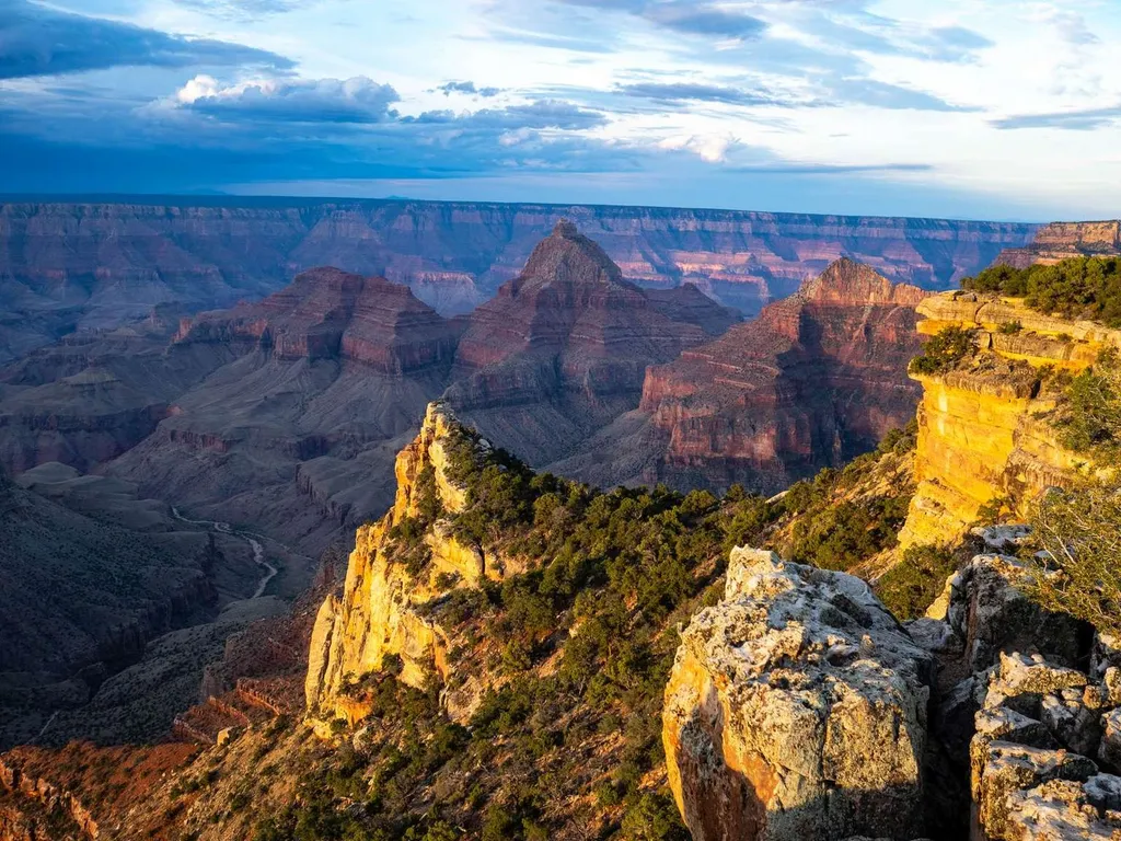
Cape Final
~12 min drive
On May 15, the North Rim reopened for the season. Visitors should plan ahead and be prepared for a more remote experience this year, with limited services available as the park continues recovery and restoration work. The 2026 season will focus mainly on day use and limited b…
Salt Trail
~10 min drive
5.8 mi · Easy
Nankoweap Trail
~14 min drive
25 mi · Hard
Francois Matthes Trail
~17 min drive
11 mi · Moderate
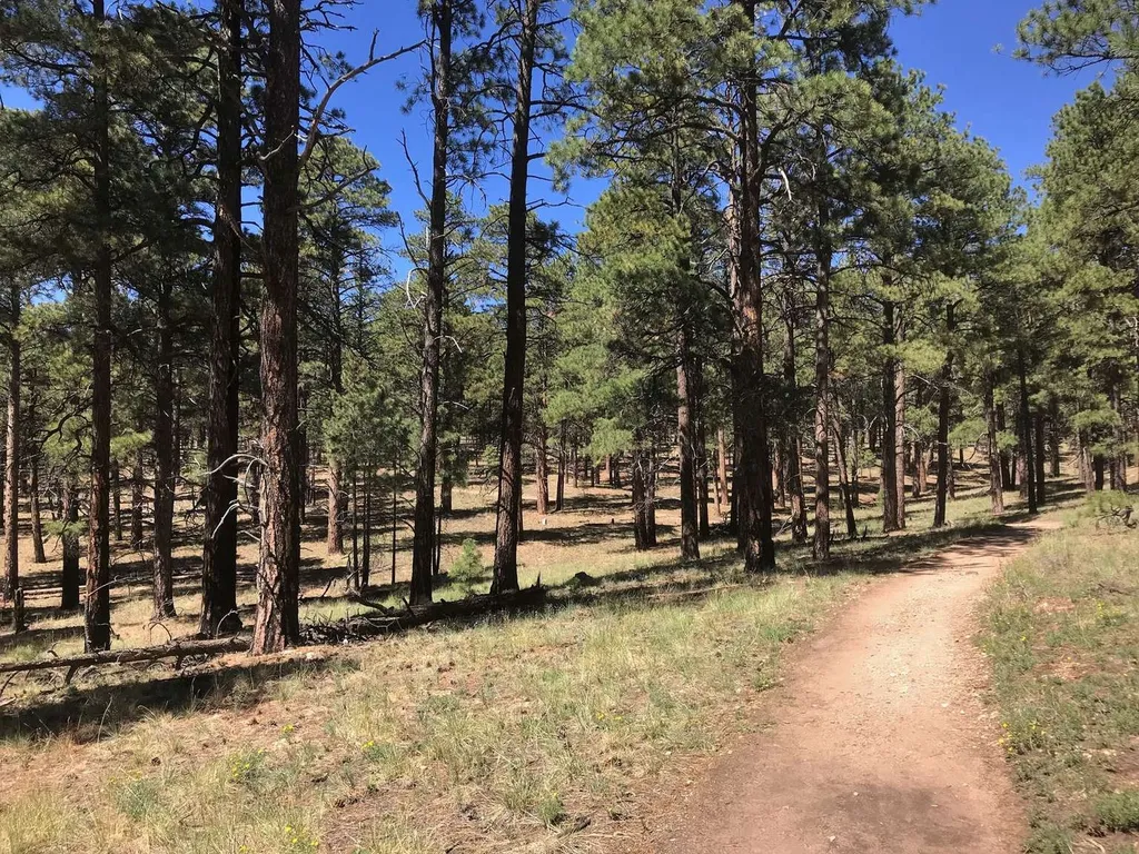
Cape Final Trail
~14 min drive
On May 15, the North Rim reopened for the season. Visitors should plan ahead and be prepared for a more remote experience this year, with limited services available as the park continues recovery and restoration work. The 2026 season will focus mainly on day use and limited b…
Nankoweap Granary Trail
~14 min drive
0.5 mi · Easy
Walhalla Glades Trail
~17 min drive
15 mi · Hard
Komo Point Trail
~18 min drive
9.9 mi · Moderate
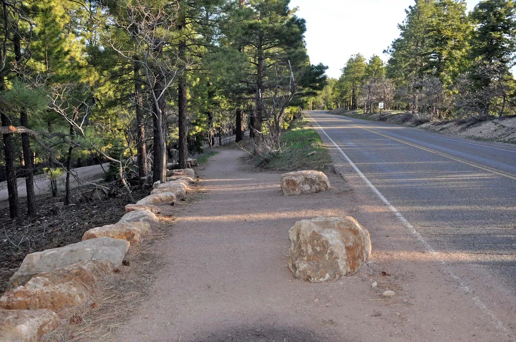
Bridle Path (South End)
~25 min drive
The Bridal Path follows the road (AZ 67) and connects the large parking area of the former Grand Canyon Lodge with the North Kaibab Trailhead. It is 1.6 miles (2.6 km) one-way; allow one hour. There is minimal elevation gain. Pets on a leash, stock use, and bicycles are permit…
Cape Final Trail
~14 min drive
A 4.10-mile out-and-back trail in Arizona for hikers seeking a moderate-distance adventure.
Local operatorsoffering guided trips. You book directly with them — Roamze doesn’t take a cut.
Buck Wild Hummer Tours
Hiking business nearby (~24 mi away) — hasn't claimed their Roamze page yet
Wander Camp
Hiking business nearby (~35 mi away) — hasn't claimed their Roamze page yet