Peak Mountain Guides
Hiking business nearby (~16 mi away) — hasn't claimed their Roamze page yet
Colorado
Free — you'll pick up right here.
6.7 mi
Distance
1,080 ft
Gain
An agency closure order is in effect for this area; weather is good
2 factors · 2 sources
Newest 21 h ago · oldest 21 h
problem: Agency alerts
36 active alerts in Grand Mesa, Uncompahgre and Gunnison National Forests; most severe: Gold Mountain Wildfire Roads and Trails Closure Order v 4.0
USFSPosted Sep 15 · checked 21 h ago
clear: Weather
Rain, high 65°F / low 50°F, 49% precip — 77/100 for hike
OpenWeather21 h ago
Been out here in the last few days? One report keeps this current for everyone.
Why you'll love it
High Mesa
Suggested plan · check conditions before you go
Source for bikes, horses, surface, accessibility: USDA Forest Service National Forest System Trails (EDW)
High Mesa is a 6.70-mile out-and-back trail in Colorado managed by Grand Mesa, Uncompahgre and Gunnison National Forests. The trail gains 1,080 feet of elevation over its round-trip length, reaching a maximum elevation of 11,111 feet.
Source: Roamze elevation profile and trail geometry (DEM samples along the mapped route)
Active alerts for Grand Mesa, Uncompahgre and Gunnison National Forests as of Oct 9, 2026:
2026-2027 GMUG National Forests Prescribed Pile Burn Plan
information · posted Oct 8, 2026
2026-2027 GMUG National Forests Prescribed Burn Plan
information · posted Oct 7, 2026
Gold Mountain Wildfire Roads and Trails Closure Order v 4.0
critical · posted Sep 14, 2026
TERMINATION OF ORDER - FIRE RESTRICTIONS
fire-restriction · posted Sep 2, 2026
Raggeds Wilderness Area Occupancy & Use
information · posted Aug 24, 2026
West Elk Wilderness Area Occupancy & Use
information · posted Aug 24, 2026
General Occupancy and Use on the Grand Mesa, Uncompahgre and Gunnison National Forests
information · posted Aug 24, 2026
information · posted Aug 24, 2026
Doctor Park (NFS Trail 424) Seasonal Closure
information · posted Aug 24, 2026
information · posted Aug 24, 2026
Source: USFS forest alerts
Source: Roamze catalog (indexable pages within 10 miles, PostGIS distance)
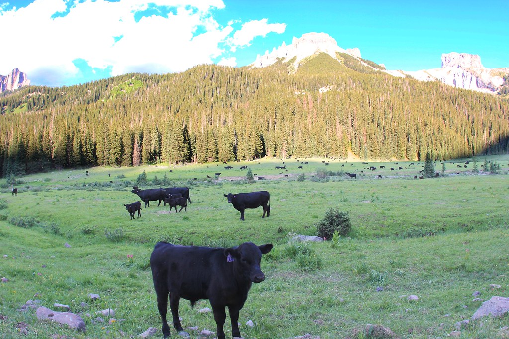 Photo: daveynin, CC BY 2.0 (via Flickr)
OWL CREEK PASS SNO
~10 min drive
23.82-mile out-and-back trail in Colorado with 2,826 ft elevation gain/loss
Photo: daveynin, CC BY 2.0 (via Flickr)OLD OWL CREEK SPUR B
~11 min drive
2.56-mile out-and-back trail in Colorado with 752 ft gain and 10,005 ft max elevation.
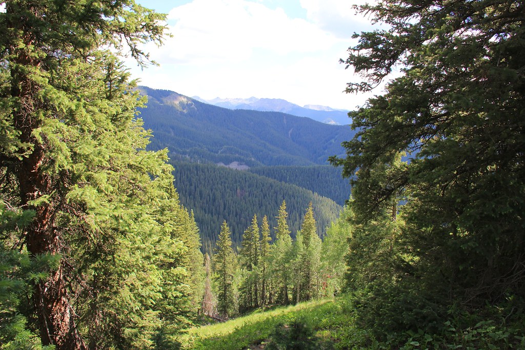 Photo: daveynin, CC BY 2.0 (via Flickr)
Courthouse
~12 min drive
11-mile out-and-back trail in Colorado with 545 ft elevation gain.
 Photo: daveynin, CC BY 2.0 (via Flickr)
STEALEY MOUNTAIN SPUR
~13 min drive
3.04-mile out-and-back trail in Colorado with 1,530 ft gain/loss and a max elevation of 9,766 ft.
Photo: daveynin, CC BY 2.0 (via Flickr)NATE CREEK
~12 min drive
14.04-mile out-and-back trail in Colorado with 4,697 ft elevation gain and loss.
Photo: daveynin, CC BY 2.0 (via Flickr)Courthouse Mountain
~12 min drive
1.76-mile out-and-back trail in Colorado with 831 ft elevation gain.
Photo: daveynin, CC BY 2.0 (via Flickr)Old Owl Creek Trail
~12 min drive
6.38-mile out-and-back trail in Colorado with 2,536 ft elevation gain.
Little Cimarron East
~3 min drive
3.00-mile out-and-back trail in Colorado with 305 ft elevation gain.
Alpine Trail 225
~8 min drive
27.14-mile out-and-back trail in Colorado with 7,721 ft elevation gain and loss.
Little Cimarron Spur B Trail 674B
~4 min drive
2.98-mile out-and-back hike in Colorado with 853 ft elevation gain.
Local operatorsoffering guided trips. You book directly with them — Roamze doesn’t take a cut.
Peak Mountain Guides
Hiking business nearby (~16 mi away) — hasn't claimed their Roamze page yet
Grizzly RT RV Park
Hiking business nearby (~20 mi away) — hasn't claimed their Roamze page yet
Cedar Creek RV Park and Lodging
Hiking business nearby (~30 mi away) — hasn't claimed their Roamze page yet
